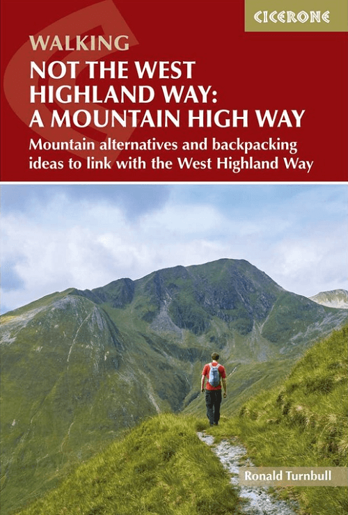
Wandelgids Not the West Highland Way - Cicerone
Alternatives ideas to link with the West Highland Way
Korte omschrijving
Not the West Highland Way - Cicerone Productomschrijving: NOT The West Highland Way describes alternative routes over mountains, smaller hills or high passes to all but one of the West Highl...

Specificaties
- Uitgever: CICERONE Press
- ISBN-13: 9781786311870
- HOOFDCATEGORIEËN: Wandelgids
- Activiteiten: Wandelen, Hiking & Trekking
- Auteur: Ronald Turnbull
- Regio: Highlands, Schotland
- Land: Schotland
- Lange afstand wandelroutes: West Highland Way, Schotland (152 km)
- Editie: 2
- Taal: Engels
- Iconische Wandelroutes: West Highland Way, Schotland
Volledige omschrijving
Not the West Highland Way - Cicerone
Productomschrijving: NOT The West Highland Way describes alternative routes over mountains, smaller hills or high passes to all but one of the West Highland Way's nine stages, providing alternatives away from the main roads. With add-on day trips over Ben Lomond or Beinn Dorain. Includes 2 two-day routes for warm-up trips.
Seasons:
April to October, with May, June and September as the best months of all; a few routes have some access limitations during stag stalking from August to October; winter months are also enjoyable for tough types.
Centres:
Loch Lomond, Taynuilt, Crianlarich, Tyndrum, Bridge of Orchy, Kinlochleven, Corrour Station, Fort William.
Difficulty:
Moderate day walks over small hills and pathed Munros; pathless but grassy ridges and high passes; treks of two or three days on valley paths; a rough crossing of Rannoch Moor; map reading and compass/GPS skills needed on the more serious routes; some non-technical scrambling.
Must See:
Loch Lomond from overhead; sunrise from the summit corrie of Ben Lui; woods and waterfalls of River Leven; long, lonely Loch Etive; Glen Nevis from its bleak head down to its Himalayan-style gorge.

Artikelen uit dezelfde regio
Wandelkaart 25 Glen Carron & Glen Affric Highland's- OSI • 9780319473481
Wandelkaart Glen Carron & Glen Affric - Highland's Schotland Productbeschrijving: Glen Carron en Glen Affric bevinden zich in de Schotse Hooglanden, beladen met enorme blauwe lochs, ruig terrein en uiteenlopende vogelsoorten. OS Landranger kaart 25 helpt u talrijke bospaden en off-road routes te ontdekken, die voldoen aan de verwachtingen van liefhebbers van wandel- en fietsroutes. Er is o…
Wandelgids Schottland - West Highland Way - Rother • 9783763347261
The West Highland Way 153 km - Rother Productomschrijving: Op de West Highland Way leer je de mooiste kanten van Schotland te voet kennen: Vanaf de bewoonde uitlopers van Glasgow in de Lowlands leidt dit 150 kilometer lange pad naar het hart van de Highlands bij Fort William. Het Schotse landschap ziet er hier uit als iets uit een prentenboek: het pad voert door ongerepte heidevelden, over…
Wandelkaart 390 Ardnamurchan- Schotland - OSI • 9780319472538
Wandelkaart Ardnamurchan - Highland's Schotland Omvat ook: Moidart, Sunart & Loch Shiel. Productbeschrijving: Deze twee-zijdige kaart toont het schiereiland Ardnamurchan en het eiland van Muck. Grotendeels ongerept, en met een lage menselijke populatie, dit gebied is een toevluchtsoord voor wilde dieren van alle soorten. De OS Explorer kaart voor Ardnamurchan is beschikbaar in zowel de…
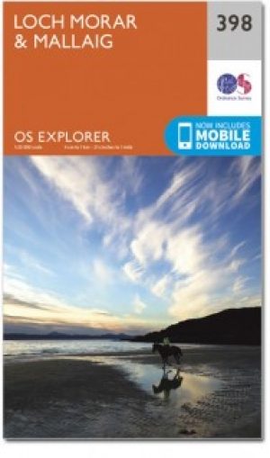
Wandelkaart 398 Loch Morar & Mallaig Schotland - OSI • 9780319472583
Wandelkaart Loch Morar & Mallaig - Highlands Schotland Productbeschrijving: Het gebied rondom Loch Morar en het haven dorp Mallaig zijn wild, mooi en exteem. De A830 linkt Mallaig Glenfinnan met Fort William, maar afgezien daarvan zult u op ongemarkeerde land en ongemarkeerd paden wandelen - een goede kaart en navigatie vaardigheden zijn een must. Loch Morrar is het diepste zoetwater l…

Wandelgids Walking the Munros Vol 1 - Cicerone Press • 9781786311054
Walking the Munros Vol 1 - Cicerone Productomschrijving: Wandelgids over de Munros in de zuidelijke, centrale en westelijke Highland's. De gids beschrijft 69 uitdagende routes over 139 van de meest iconische 3000f+ bergen in gebieden zoals Glencoe, Bridge of Orchy en Mull. Inclusief routes op Ben More, Ben Alder, Ben Lomond en Ben Nevis, de hoogste berg van de Britse eilanden. Deel 1 van t…


