

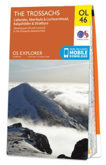
Wandelkaart OL46 Trossachs NP, Callander & Aberfoyle - OS
Part of the Loch Lomond & The Trossachs National Park
Korte omschrijving
Wandelkaarten Perthshire, Schotland van Ordnance Survey. Ideaal voor tochten in Schotland.
Wandelkaart Trossachs NP, Callander & Aberfoyle - OS Productomschrijving: Trossachs National Park, Callander & Aberfoyle Omvat: Loch Lomond & Trossachs National Park, Callander & Aberfoy...

Specificaties
- Uitgever: Ordnance Survey
- ISBN-13: 9780319242858
- HOOFDCATEGORIEËN: Wandelkaart
- Activiteiten: Wandelen, Hiking & Trekking
- Auteur: Ordnance Survey
- Regio: Perthshire, Schotland
- Land: Schotland
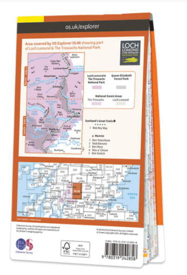
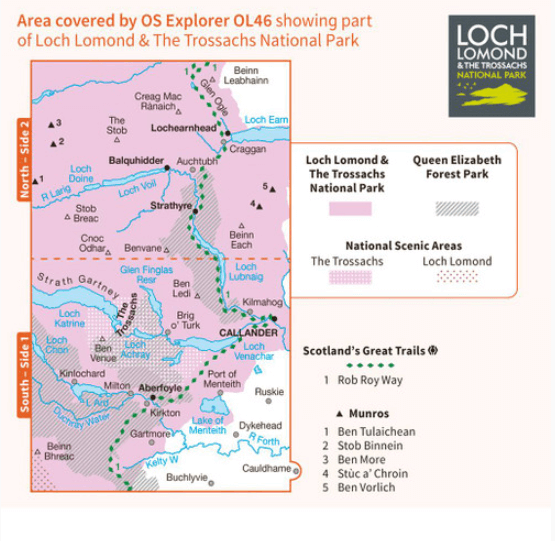
- Lange afstand wandelroutes: Rob Roy Way, Schotland (128 km)
- Nationale parken: Loch Lomond & the Trossachs NP, Highland's Schotland
- Regionale parken: Queen Elizabeth, Forest Park Schotland
- TOPO's & Stafkaarten: Topografisch wandelen
- Schaal: 1:25000
- Taal: Engels
- Reeks/Serie: Explorer Series OS
- De Schotse Munro's: Ben More (1174 m) - Section 1, Ben Vorlich (943 m) - Section 1, Stob Binnein (1165 m) - Section 1, Stuc a'Chroin (975 m) - Section 1
Volledige omschrijving
Wandelkaart Trossachs NP, Callander & Aberfoyle - OS
Productomschrijving: Trossachs National Park, Callander & Aberfoyle
Omvat: Loch Lomond & Trossachs National Park, Callander & Aberfoyle, Queen Elisabeth Forest Park, The Rob Roy Way.
Ontdek de OL-serie van Ordnance Survey:
De OL-serie (Outdoor Leisure) van Ordnance Survey is dé referentie voor wie gaat wandelen op de Britse eilanden. Deze topografische kaarten maken deel uit van de Explorer-reeks en bieden ongeëvenaarde nauwkeurigheid en detail op een schaal van 1:25.000. Perfect voor wandelaars, hikers en outdoorliefhebbers.
Waarom kiezen voor de OL Explorer-kaarten?
Gedetailleerde topografie: Elk hekje, pad, beekje en hoogteverschil staat erop.
Ingetekende National Trails: Bekende wandelroutes zoals de South West Coast Path, Hadrian’s Wall Path en Pennine Way zijn duidelijk gemarkeerd.
Betrouwbaarheid: Ordnance Survey is al decennialang de standaard voor kaarten in het VK.
Weerbestendige versies beschikbaar – ideaal voor gebruik in weer en wind.
De beste keuze voor wandelaars
Vergeet generieke wandelkaarten. Met de OL-serie krijg je precieze, actuele informatie, zodat je zonder zorgen op pad kunt.
KOOP NU UW TOPOGRAFISCHE WANDELKAART
Bekijk ons aanbod en kies de OL-kaart die past bij jouw volgende wandelroute. Wandel slim, wandel met Ordnance Survey. wandelroute. Wandel slim, wandel met Ordnance Survey.
Overzichtskaarten

OSI Explorer & Explorer Active - Zuid West Schotland - Loch Lomond
OSI Explorer & Explorer Active - Zuid West Schotland - Loch Lomond

Producten op de overzichtskaart
Klik op een product om naar de detailpagina te gaan.
- Wandelkaart 326 Ayr & Troon- South Ayrshire - OSI
- Wandelkaart 327 Cumnock & Dalmellington - OSI
- Wandelkaart 333 Kilmarnock & Irvine- East Ayrshire - OSI
- Wandelkaart 341 Greenock- Largs & Millport - OSI
- Wandelkaart 342 Glasgow- Schotland - OSI
- Wandelkaart 352 Islay South- Argyl & Bute- Schotland - OSI
- Wandelkaart 353 Islay North- Argule & Bute Schotland - OSI
- Wandelkaart 354 Colonsay & Oronsay- Argyl & Bute - OSI
- Wandelkaart 355 Jura & Scarba- Inner Hibrids - OSI
- Wandelkaart 356 Kintyre South- Highlands-Schotland - OSI
- Wandelkaart 357 Kintyre North- Highlands-Schotland - OSI
- Wandelkaart 358 Lochgilphead & Knapdale North - OSI
- Wandelkaart 359 Oban- Kerrera & Loch Melfort - OSI
- Wandelkaart 360 Loch Awe & Inveraray- Argyl Schotland- OSI
- Wandelkaart 361 Isle of Arran - OSI
- Wandelkaart 362 Cowal West & Isle of Bute - OSI
- Wandelkaart 373 Iona- Staffa & Ross of Mull - OSI
- Wandelkaart 375 Isle of Mull East- Argyl- Schotland - OSI
- Wandelkaart 377 Loch Etive & Glen Orchy- Schotland- OSI
- Wandelkaart OL37 Cowal East- Dunoon & Iverary - OS
- Wandelkaart OL38 Loch Lomond South & Dumbarton - OSI
- Wandelkaart OL39 Loch Lomond North & Tyndrum - OS
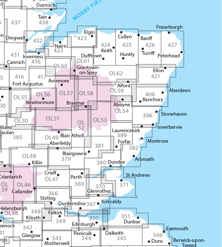
- Wandelkaart OL46 Trossachs NP, Callander & Aberfoyle - OS
- Wandelkaart OL48 Ben Lawers, Glen Lyon & Loch Tay - OS

OSI Explorer & Explorer Active - Noord Schotland & The Cairngorms
OSI Explorer & Explorer Active - Noord Schotland & The Cairngorms
Producten op de overzichtskaart
Klik op een product om naar de detailpagina te gaan.
- Wandelkaart 342 Glasgow Schotland - OSI
- Wandelkaart 348 Campsie Fells- Glasgow - Schotland - OSI
- Wandelkaart 349 Falkirk- Cumbernauld & Livingston - OSI
- Wandelkaart 350 Edinburgh - East Schotland - OSI
- Wandelkaart 351 Dunbar & North Berwick - Edinburgh - OSI
- Wandelkaart 366 Stirling & Ochil Hills West - OSI
- Wandelkaart 367 Dunfermline- Kirkcaldy & Glenrothes - OSI
- Wandelkaart 369 Perth & Kinross - Schotland - OSI
- Wandelkaart 370 Glenrothes North- Falkland & Lomond Hills - OSI
- Wandelkaart 371 St-Andrews & East Fife- Schotland - OSI
- Wandelkaart 379 Dunkeld & Aberfeldy- Glen Almond - OSI
- Wandelkaart 380 Dundee & Sidlaw Hills- Fife - OSI
- Wandelkaart 381 Blairgowrie & Kirriemuir - OSI
- Wandelkaart 382 Arbroath- Montrose & Carnoustie - OSI
- Wandelkaart 385 Rannoch Moor & Ben Alder- Highland's - OSI
- Wandelkaart 389 Forfar- Brechin & Edzell- Tayside - OSI
- Wandelkaart 396 Stoneheaven- Inverbervie & Laurencekirk - OSI
- Wandelkaart 406 Aberdeen & Banchory- Schotland - OSI
- Wandelkaart 416 Inverness & Loch Ness - OSI
- Wandelkaart 417 Monadhliath Mountains North - OSI
- Wandelkaart 421 -llon & Inverurie- Aberdeenshire - OSI
- Wandelkaart 422 Nairn & Cawdor- Inverness - OSI
- Wandelkaart 423 Elgin- Forres & Lossiemouth - OSI
- Wandelkaart 424 Buckie & Keith- Granpian - OSI
- Wandelkaart 425 Huntly & Cullen- Aberdeenshire - OSI
- Wandelkaart 426 Banff- Macduff & Turriff- Aberdeenshire - OSI
- Wandelkaart 427 Peterhead & Fraserburgh- Aberdeenshire - OSI
- Wandelkaart 431Glen Urquhart & Strathglass - OSI
- Wandelkaart 432 Black Isle & Munlochy - OSI
- Wandelkaart OL38 Loch Lomond South & Dumbarton - OSI
- Wandelkaart OL39 Loch Lomond North & Tyndrum - OS
- Wandelkaart OL46 Trossachs NP, Callander & Aberfoyle - OS
- Wandelkaart OL47 Crieff, Comrie & Glen Artney - OS
- Wandelkaart OL49 Pitlorchry & Loch Tummel & Aberfeldy - OS
- Wandelkaart OL50 Ben Alder, Loch Ericht & Laggan - OS
- Wandelkaart OL51 Atholl, Glen Tilt & Beinn Dearg - OS
- Wandelkaart OL52 Glen Shee, Braemar & Cairnwell - OS
- Wandelkaart OL53 Lochnagar, Glen Muick & Glen Clova - OS
- Wandelkaart OL54 Glen Esk, Glen Tanar & Aboyne - OS
- Wandelkaart OL55 Loch Laggan, Creag Meagaidh & Corrieyairack - OS
- Wandelkaart OL56 Badenoch, Upper Strathspey & Kingussie - OS
- Wandelkaart OL57 Cairn Gorm, Aviemore & Loch Morlich - OS
- Wandelkaart OL58 Braemar, Tomintoul & Glen Avon - OS
- Wandelkaart OL59 Aboyne, Alford & Strathdon - OS
- Wandelkaart OL60 Lochindorb & Grantown-on-Spey - OS
- Wandelkaart OL61 Grantown-on-Spey & Hills Cromdale - OS
- Wandelkaart OL62 Correen Hills, Glenlivet & Bennachie - OS
Artikelen uit dezelfde regio
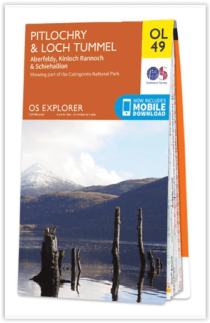
Wandelkaart OL49 Pitlorchry & Loch Tummel & Aberfeldy - OS • 9780319242889
Wandelkaart Pitlorchry & Loch Tummel & Aberfeldy - OS Productomschrijving: Een topografische wandelkaart van een deel van het Cairngorms National Park, Omvat: Pitlorchry & Loch Tummel & Aberfeldy, Kinloch Rannoch & Schiehallion, part of the Cairngorms National Park, the Rob Roy Way. Tay Forest Park National Scenic area, Loch Rannach & len Lyon & Loch Tummel. Ontdek de OL-serie van…
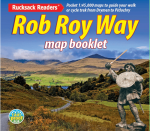
Rob Roy Way 6-pack Map Booklet - Rucksack Readers • 9781913817374
The Rob Roy Way 6-pack map booklet - Rucksack Readers Productomschrijving: The Rob Roy Way is one of Scotland’s Great Trails and is very popular with both walkers and cyclists. It runs through many places linked with Scotland’s most famous outlaw, Rob Roy MacGregor (1671-1734). The route starts at Drymen (near Glasgow) and ends at Pitlochry in the eastern Highlands, so it takes you away fr…

Wandelkaart OL52 Glen Shee- Braemar & Cairnwell - OSI • 9780319469705
Wandelkaart Glen Shee- Braemar & Cairnwell - Perthshire Omvat ook: The Cairnwell & Glas Maol Productbeschrijving: Beroemd om Schotland's grootste skigebied te zijn, omvat OS Explorer kaart OL 52 ook een onderdeel van het Cairgorms National Park, 12 Munros, de Cateran Trail en het dorp van Braemar, bekend om het Braemar Gathering, waar de traditionele Highland Games vaak bijgewoond word…
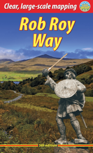
Wandelgids Rob Roy Way Schotland, 5e editie - Rucksack Readers • 9781913817381
The Rob Roy Way - Rucksack Readers Productomschrijving: The Rob Roy Way is one of Scotland’s Great Trails and is very popular with both walkers and cyclists. It runs through many places linked with Scotland’s most famous outlaw, Rob Roy MacGregor (1671-1734). The route starts at Drymen (near Glasgow) and ends at Pitlochry in the eastern Highlands, so it takes you away from the crowds follo…
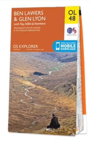
Wandelkaart OL48 Ben Lawers, Glen Lyon & Loch Tay - OS • 9780319242872
Wandelkaart Ben Lawers, Glen Lyon & Loch Tay - OS Productomschrijving: Ben Lawers, Glen Lyon & Loch Tay, parts of Loch Lomond & the Trossachs National Park. Omvat: Ben Lawers, Glen Lyon & Loch Tay, parts of Loch Lomond & the Trossachs National Park, Killin & Kenmore, The Rob Roy Way, Tay Forest Park, Ben Nevis & Glen Coe, Loch Rannoch & Glen Lyon. Ontdek de OL-serie van Ordnance Su…