

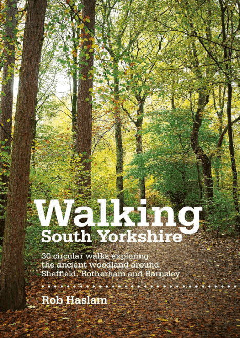
Wandelgids Walking South Yorkshire 30 circular walks - Vertebrate
Ancient woodland around Sheffield- Rotherham & Barnsley
Korte omschrijving
Wandelgidsen Yorkshire, England van Vertebrate Publishing. Ideaal voor tochten in England.
Walking South Yorkshire 30 circular walks - Vertebrate Productomschrijving: 30 circular walks exploring the ancient woodland around Sheffield, Rotherham and Barnsley. Walking South Yorks...

Specificaties
- Uitgever: Vertebrate Publishing
- ISBN-13: 9781906148218
- HOOFDCATEGORIEËN: Wandelgids
- Activiteiten: Wandelen, Hiking & Trekking
- Auteur: Robert Haslam
- Regio: Yorkshire, England
- Land: England
- Taal: Engels
- De Engelse Graafschappen: South Yorkshire, Yorkshire
Volledige omschrijving
Walking South Yorkshire 30 circular walks - Vertebrate
Productomschrijving: 30 circular walks exploring the ancient woodland around Sheffield, Rotherham and Barnsley.
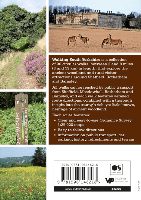
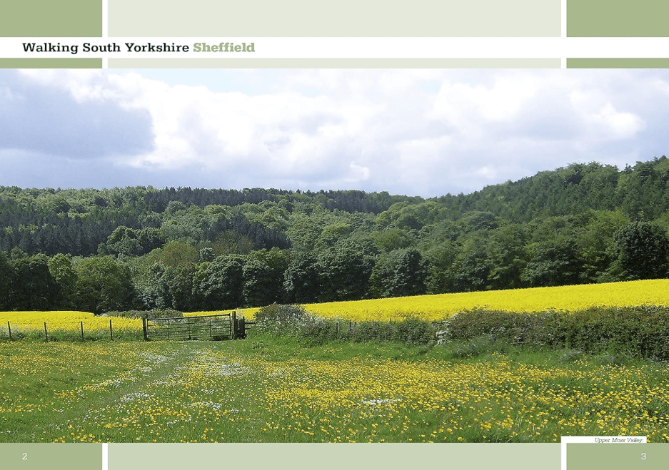
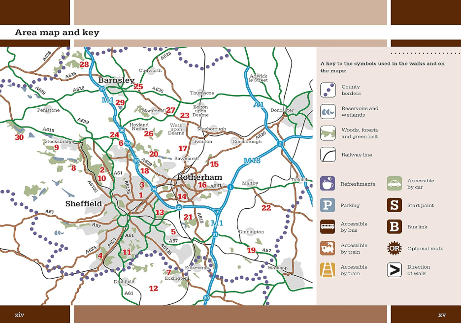
Walking South Yorkshire by Rob Haslam is a collection of 30 circular walks of South Yorkshire, between 2 and 8 miles (3 and 13 km) in length, that explore the ancient woodland and rural visitor attractions around Sheffield, Rotherham and Barnsley. It features route directions, combined with an insight into the county's heritage of ancient woodland.
Attractions visited include: Yorkshire Sculpture Park, Wentworth Castle Gardens, Stainborough Park, Cannon Hall Museum, Old Moor RSPB Reserve, Monk Bretton Priory, Elsecar Heritage Centre, Worsbrough Mill, Rockley Blast Furnace, Wentworth Woodhouse, the Waterloo Pottery Kiln, Catcliffe Glass Cone, Graves Park Animal Farm, Roche Abbey and the Chesterfield Canal.
Artikelen uit dezelfde regio
Wandelkaart OL26 North York Moors Western area - OS • 9780319242650
Wandelkaart North York Moors, Western area - OS Productomschrijving: Een topografische wandelkaart van het westerse deel van het North York Moors National Park. Omvat: Het Howardian Hills AONB gebied, deel van het nationale park van de North York Moors, Tees Forest Community Forest, The Cleveland Street Walk, Cleveland Way, E2 European long distance Path, Ebor Way, England Coast PAth, …

Wandelgids Guide to Yorkshire - AA • 9780749579470
Wandelgids - Guide to Yorkshire - AA Productomschrijving: Yorkshire, een regio's waar prachtige heuvelachtige plaatsen van komen, en een plaats waar de rust zelf tot rust komt. Een locatie in bezit van ondermeer "The Yorkshire Dales" en locatie langs de kust die elke old timer de welverdiende rust geeft die hij zoekt. Een gids, die u de natuur toont, als ook de fauna, de Flora, de keuken v…
Wandelgids The Cleveland Way Map Booklet - Cicerone • 9781786312228
The Cleveland Way Map Booklet - Cicerone Productomschrijving: Kaartboekje van de Cleveland Way National Trail, een 177 km lange wandeling rond het North York Moors National Park. Dit boekje is inbegrepen bij de Cicerone gids voor de Cleveland Way en de Yorkshire Wolds Way en toont de volledige route van de Cleveland Way op OS 1:25.000 kaarten. Dit kaart Boekje zit reeds gratis bijgevoe…
Wandelgids Yorkshire Dales South & West walking guide- Cicerone • 9781852848859
Wandelgids - Yorkshire Dales South & West walking guide- Cicerone Productomschrijving: Deel 2 van een 2-delige gidsen set omvat 44 wandelingen in het zuiden en het west van de Yorkshire Dales, incl het 23km lange "Three Peak cicuit" door Pen-y-Ghent, Whernside & Ingleborough. De andere, meestal bezienswaardige routes van ongeveer 13km ovatten de regio's tussen Sedbergh, Kirkby Lonsdale, Se…

Wandelgids Mountain Walks Yorkshire Dales NP 3 Peaks - Vertebrate • 9781839812248
Mountain Walks Yorkshire Three Peaks - Vertebrate Productomschrijving: 15 routes to enjoy on and around Pen-y-ghent, Ingleborough and Whernside Mountain Walks Yorkshire Three Peaks by Hannah Collingridge is a guide to walking routes on and around Pen-y-ghent, Ingleborough and Whernside in the Yorkshire Dales National Park. Features Ordnance Survey 1:25,000 maps. Alongside the routes to…