

Wandelgids Mountain Walks Yorkshire Dales NP 3 Peaks - Vertebrate
Pen-y-ghent - Ingleborough - Whernside
Korte omschrijving
Wandelgidsen Yorkshire, England van Vertebrate Publishing. Ideaal voor tochten in England.
Mountain Walks Yorkshire Three Peaks - Vertebrate Productomschrijving: 15 routes to enjoy on and around Pen-y-ghent, Ingleborough and Whernside Mountain Walks Yorkshire Three Peaks by Ha...

Specificaties
- Uitgever: Vertebrate Publishing
- ISBN-13: 9781839812248
- HOOFDCATEGORIEËN: Wandelgids
- Activiteiten: Wandelen, Hiking & Trekking
- Auteur: Hannah Collingridge
- Regio: Yorkshire, England
- Land: England
- Nationale parken: Yorkshire Dales NP, England
- Taal: Engels
- De Engelse Graafschappen: Yorkshire
Volledige omschrijving
Mountain Walks Yorkshire Three Peaks - Vertebrate
Productomschrijving: 15 routes to enjoy on and around Pen-y-ghent, Ingleborough and Whernside
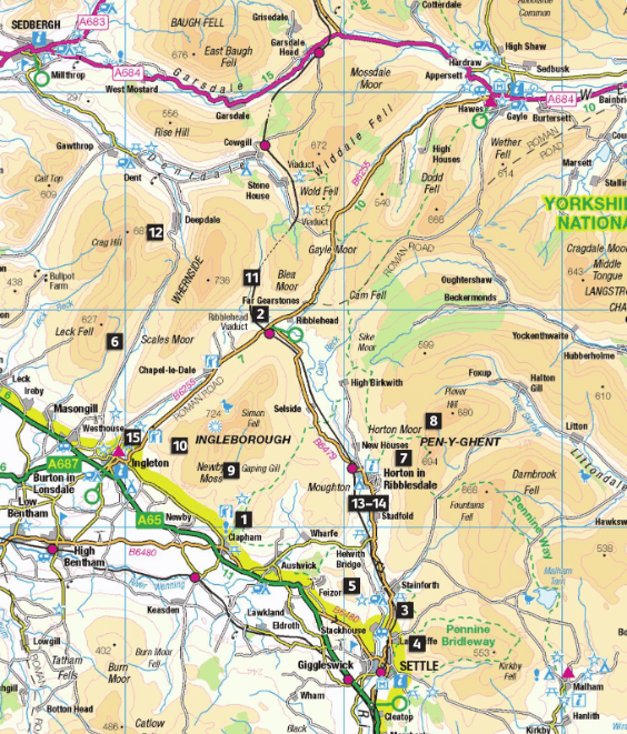
Mountain Walks Yorkshire Three Peaks by Hannah Collingridge is a guide to walking routes on and around Pen-y-ghent, Ingleborough and Whernside in the Yorkshire Dales National Park. Features Ordnance Survey 1:25,000 maps. Alongside the routes to the peaks themselves, there are also valley walks for mixed-weather days and those new to hillwalking.
The routes explore the local area, visiting local caves and beauty spots and showcasing the stunning limestone scenery; even those who are familiar with the area will find new and imaginative route ideas to discover. Whether you aspire to walk in the southern Dales on a straightforward route, or you’re looking to take on the full Three Peaks challenge, this is the only guidebook you need.
Together with stunning photography, each route features Ordnance Survey 1:25,000 maps; easy-to-follow, detailed directions; downloadable GPX files; essential information about public transport and safety advice; details about the terrain and navigation; and information about facilities, refreshments and points of interest.
Artikelen uit dezelfde regio

Trailrunning gids Yorkshire Dales NP - Cicerone • 9781852849221
Trailrunning gids, 40 runs in the National Park-Three Peaks Productomschrijving: Guidebook to 40 great trail and fell runs in the Yorkshire Dales National Park. Ranging from 5 to 24 miles, the graded runs start from bases such as Hawes, Settle, Ingleton, Dent, Sedbergh, Malham and Grassington and take in the region's diverse delights, from castles and waterfalls to iconic mountains such a…

Wandelgids North Yorkshire historic walks - Cicerone • 9781852843892
Wandelgids - North Yorkshire historic walks - Cicerone Productomschrijving: Een gids over historische wandelingen in North Yorkshire, in 20 meestal circulaire routes. Zij brengen u van open heidegebied en blootgestelde delen van heuvel en kliffen naar de meer beschutte dales en de straten van York. Wandelingen bevatten Skipton Castle, Ripon en Fountains Abbey, Ripley Castle, Castle Howard,…

Wandelgids Coast to Coast path - Trailblazer • 9781912716258
Coast to Coast path 370 km - Trailblazer Productomschrijving: 109 kaarten, 14 etappe kaarten en 60 kleurfoto's van één van Engeland's mooiste wandelroutes, en tevens meest gekend. Het Coast to Coast Pad is een pad van 307 km dat loopt van St Bees aan de Ierse Zee over de breedte van Noord-Engeland naar de Noordzee bij Robin Hood's Bay. Deze spectaculaire wandeling van twee weken doorkruist…
Wandelkaart Cleveland Way - Across North York NP - Harvey maps • 9781851374892
Wandelkaart Cleveland Way - Across North York NP - Harvey maps Productomschrijving: 174km (109 mijl) van Helmsley over het North York Moors National Park naar Saltburn en langs de kust via Scarborough eindigend met Filey. Informatie over het vinden van accommodatie, camping, voedsel. Routebeschrijving naar het begin. Ook Ranger Service contacten met nummers en uitbreidingen van steden/dorp…
Fietskaart Coast to Coast East England - Harvey maps • 9781851375325
Fietskaart Coast to Coast East England - Harvey maps Productomschrijving: De route van kust tot kust, is bedekt met twee kaarten. De doortocht van kust naar kust is ongeveer 200 mijl. Er is geen één definitieve route. Deze kaarten suggereren twee belangrijkste alternatieven, St Bees naar Robin Hoods Bay (bedacht door Tim Woodcock of Bicester aan Wykeham bedacht door pedaal Noord. De XT60 n…