

Trailrunning gids Yorkshire Dales NP - Cicerone
Hawes- Settle- Ingleton- Dent- Sedbergh- Malham- Grassington

Korte omschrijving
Wandelgidsen Yorkshire, England van CICERONE Press. Ideaal voor tochten in England.
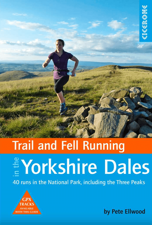
Trailrunning gids, 40 runs in the National Park-Three Peaks Productomschrijving: Guidebook to 40 great trail and fell runs in the Yorkshire Dales National Park. Ranging from 5 to 24 miles, ...

Specificaties
- Uitgever: CICERONE Press
- ISBN-13: 9781852849221
- HOOFDCATEGORIEËN: Wandelgids
- Activiteiten: Trail Running
- Auteur: Pete Ellwood
- Regio: Yorkshire, England
- Land: England
- Nationale parken: Yorkshire Dales NP, England
- Editie: 1
- Taal: Engels
- De Engelse Graafschappen: Yorkshire
Volledige omschrijving
Trailrunning gids, 40 runs in the National Park-Three Peaks
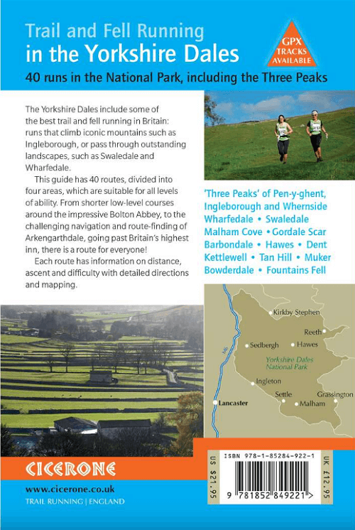
Productomschrijving: Guidebook to 40 great trail and fell runs in the Yorkshire Dales National Park. Ranging from 5 to 24 miles, the graded runs start from bases such as Hawes, Settle, Ingleton, Dent, Sedbergh, Malham and Grassington and take in the region's diverse delights, from castles and waterfalls to iconic mountains such as Whernside, Ingleborough and Pen-Y-Ghent. For those seeking a longer challenge, the Pendragon Castle to Skipton Castle Ultra is also described.
In addition to clear route description, mapping and gradient profiles, the guide also provides background information on local races and running clubs, the history of running in the region, as well as practical information on safety, equipment, navigation, maps, transport and accommodation.
Sandwiched between the Lake District and the Pennines, the Yorkshire Dales showcases some of the finest running terrain in the British Isles. Offering a delightful mix of medium sized peaks and broad open moorland, it is a must-visit destination for those seeking off-road runs with enchanting views.

Locatie op kaart
Artikelen uit dezelfde regio

Wandelgids Northern England Coast to Coast walk - Cicerone • 9781852847593
Wandelgids - Northern England Coast to Coast walk - Cicerone Productomschrijving: Een wandelgids, uitgebreid in zijn genre, die u van kust naar kust brengt in de noordelijke regio's van Engeland. Deze streek is gekenmerkt door zijn geschiedenis met resten van zelf nog de Romeinse tijd. De regio is ook bekend om zijn Hadrian's Wall path. Product description: First devised by Alfred Wain…

Wandelgids The Cleveland Way - Rucksack Readers • 9781898481973
Wandelgids Cleveland Way - Rucksack Readers Productomschrijving: De Cleveland Way is één van de oudste en meest geliefde National Trails van Engeland. De route loopt over een afstand van 174 km rond het North York Moors National Park en begint in het binnenland bij Helmsley, met een panoramisch uitzicht over de valleien van York en Mowbray en vanaf de Cleveland Hills. Na de kust bij Saltb…
Fietsgids Yorkshire Dales Mountain Biking - Vertebrate Publ. • 9781912560066
Yorkshire Dales Mountain Biking - Vertebrate Productomschrijving: Classic Pennine Trails Yorkshire Dales Mountain Biking by Nick Cotton features 26 rides in one of the UK’s most MTB-friendly national parks. Includes rides around Swaledale, Ingleborough, Whernside and Pen-y-ghent. Each ride is described with easy-to-follow directions and is plotted on clear and easy to use Ordnance Sur…

Wandelgids 50 walks in West Yorkshire - AA Publi. • 9780749583798
50 walks in West Yorkshire - AA Publishing Productomschrijving: West Yorkshire, een regio die de perfecte balans biedt tussen natuur en stedelijke charme, heeft veel te bieden voor wandelaars. De gids "50 Walks in West Yorkshire" neemt je mee langs schilderachtige routes door glooiende landschappen, historische locaties en levendige steden. Wat Kun Je Verwachten? Prachtige Natuur: …

Wandelgids Day Walks in the North York Moors - Vertebrate Publ. • 9781906148324
Day Walks in the North York Moors - Vertebrate Productomschrijving: 20 circular routes in North Yorkshire Day Walks on the North York Moors showcases 20 circular walks, between 5 and 13.7 miles (8 and 22 kilometres) in length, suitable for hillwalkers of all abilities. The routes are split into three areas – The Cleveland Hills and Hambleton Hills, Central Moors and Coastal Walks – an…