

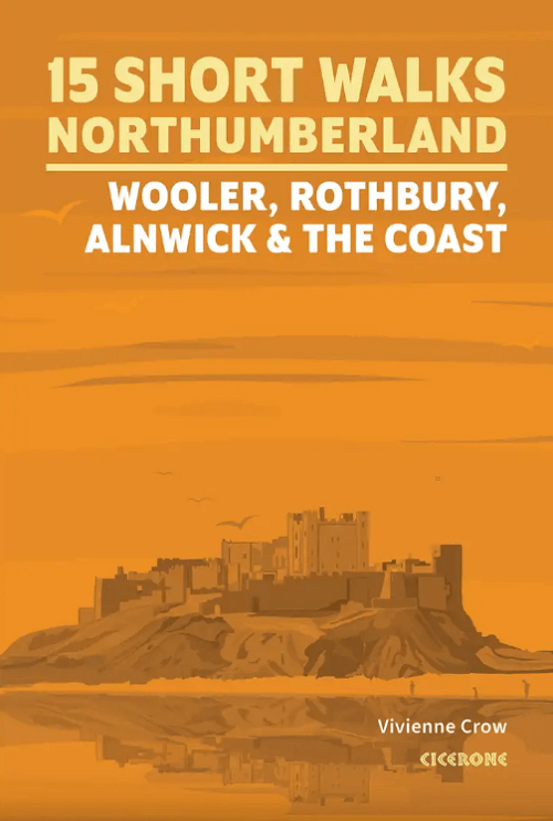
Wandelgids Northumberland short walks - Cicerone
Woller- Rothbury- Alnwick and the coast

Korte omschrijving
Wandelgidsen Northumberland, Engeland van CICERONE Press. Ideaal voor tochten in England.
Northumberland short walks - Cicerone Productomschrijving: Wil je het beste van Wooler, Rothbury, Alnwick en de kust van Northumberland ontdekken? Deze gids bevat 15 van de beste korte wande...

Specificaties
- Uitgever: CICERONE Press
- ISBN-13: 9781786312013
- HOOFDCATEGORIEËN: Wandelgids
- Activiteiten: Wandelen, Hiking & Trekking
- Auteur: Vivienne Crow
- Regio: Northumberland, Engeland
- Land: England
- Nationale parken: Yorkshire Dales NP, England
- Editie: 1
- Taal: Engels
- De Nationale Parken: Northumberland National Park, England
- De Engelse Graafschappen: Northumberland
Volledige omschrijving
Northumberland short walks - Cicerone
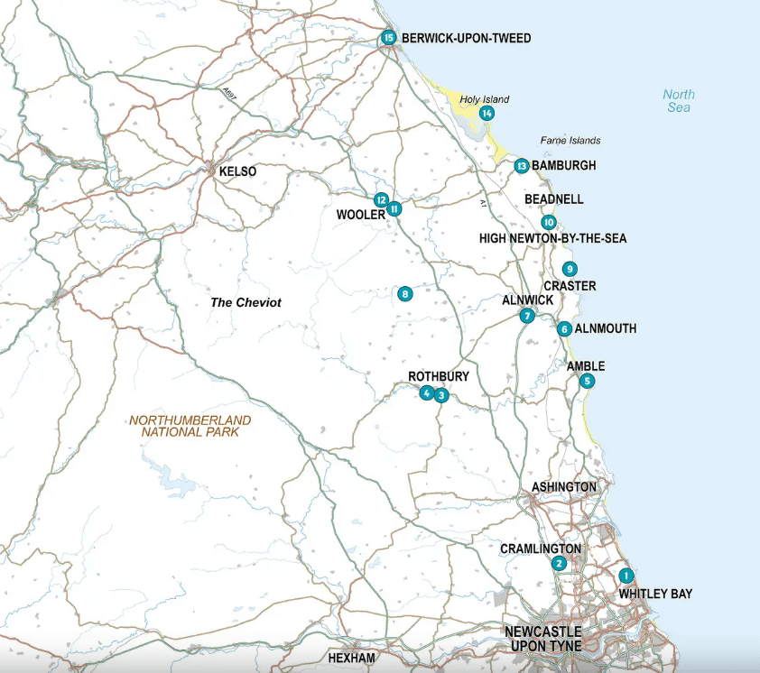
Productomschrijving: Wil je het beste van Wooler, Rothbury, Alnwick en de kust van Northumberland ontdekken? Deze gids bevat 15 van de beste korte wandelingen in Northumberland (3 uur of minder, tussen 3 en 14 km), waaronder Holy Island (Lindisfarne), de Simonside Hills, Alnwick Castle, Craster, Dunstanburgh Castle, Bamburgh en Berwick-upon-Tweed.
Engelse omschrijving: Would you like to explore the best of Wooler, Rothbury, Alnwick and the Northumberland coast? This guidebook covers 15 of the best short walks in Northumberland (3hrs or less, between 3 and 14km), including Holy Island (Lindisfarne), the Simonside Hills, Alnwick Castle, Craster, Dunstanburgh Castle, Bamburgh and Berwick-upon-Tweed.
Why choose this guidebook?
- Easy to follow with clear route descriptions
- Facilities, parking and highlights for every route
- Ordnance Survey mapping
- All routes are accessible by public transport
- Information on local beauty spots and refreshment stops
- Cicerone’s Short Walks guides contain everything you need to get outdoors and discover the best of an area. The routes are set in stunning scenery and are perfect if you’re new to walking or looking for something you can enjoy with the whole family. Let the adventures begin!
Artikelen uit dezelfde regio

Wandelgids The Pennine Way - Trailblazer • 9781912716333
The Pennine Way 420 km - Trailblazer Productomschrijving: De Pennine Way, het bekendste nationale pad van Groot-Brittannië, slingert zich 420 km over woeste heidevelden en door stille dalen langs de ruggengraat van Noord-Engeland. Het begint in Edale in het Peak District en eindigt net over de grens in Schotland bij Kirk Yetholm. Dit prachtige wandelpad doorkruist 3 nationale parken - het …

Wandelgids 087 Pathfinder guides Northumberland - OS • 9780319092576
Wandelgids Northumberland - OS Productomschrijving: Opening with a gentle short walk at Kielder Water and concluding with an energetic and challenging ramble to the summit of The Cheviot, walks are arranged in the book by completion time, with shorter and easier routes at the start and longer outings at the end. Walks are professionally authored and depicted with GPS waypoints, Ordnance S…

Wandelkaart 340 Holy Island & Bamburgh - OSO • 9780319263907
Wandelkaart Holy Island & Bamburgh - OSI Productomschrijving: Holy Island en Bamburgh zijn 2 aan de kust liggende eilanden/archipel die de interesse trekt van velen in het teken van natuur bezoek, wandelen of fietsen. De locatie is zeer mooi wat de natuur betreft. Omvat: Cheswick, Ancroft, Haggerston, Bowsden, Beal, Fenwick; Holy Island, Holburn, Doddington, Belford, Waren Mill, Bambur…
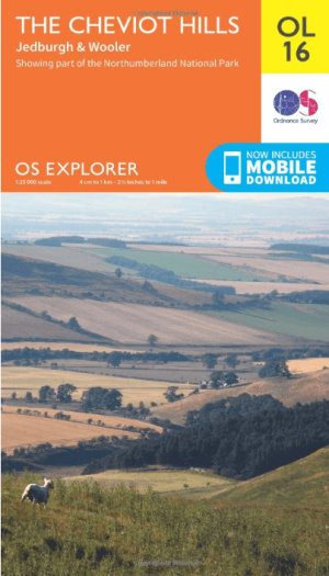
Wandelkaart OL16 Cheviot Hills, Jedburgh & Wooler - OS • 9780319242551
Wandelkaart Cheviot Hills, Jedburgh & Wooler - OS Productomschrijving: Cheviot Hills, Jedburgh & Wooler, part of Northumberland Natioal Park. Omvat: Cheviot Hills, Jedburgh & Wooler, part of Northumberland Natioal Park, Pennine Way, E2 European long Distance Path, Borders Abbeys Way & St-Cuthbert's Way. Ontdek de OL-serie van Ordnance Survey: De OL-serie (Outdoor Leisure) van Ord…

Wandelgids Park Rangers Favourite Walks Northumberland - Collins • 9780008462710
Park Rangers Favourite Walks Northumberland - Collins Productomschrijving: Wandelgids voor het Northumberland National Park, met 20 van de beste routes uitgekozen door de parkwachters. Elke wandeling varieert in lengte van 2 tot 10 km en kan in minder dan 4 uur worden afgelegd. Engelse omschrijving: Walking guide to the Northumberland National Park, with 20 best routes chosen by the pa…