

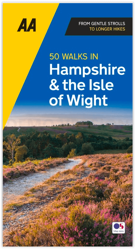
Wandelgids Hampshire & Isle of Wight - 50 walks - AA Publishing
Inclusief zijn eigen AONB- of Area of Outstanding Natural Beauty
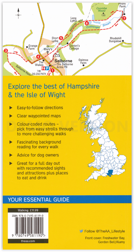
Korte omschrijving
Wandelgidsen Hampshire, England en Isle of White, Engeland van AA Publishing. Ideaal voor tochten in England.
Wandelgids Hampshire & Isle of Wight - AA Productomschrijving: De Isle of White is bekend voor zijn natuur in open zee, daarenboven bevat dit eiland zijn eigen AONB, of Area of Outstanding N...

Specificaties
- Uitgever: AA Publishing
- ISBN-13: 9780749583248
- HOOFDCATEGORIEËN: Wandelgids
- Activiteiten: Wandelen, Hiking & Trekking
- Regio: Hampshire, England, Isle of White, Engeland
- Land: England
- AONB - Area of Outstanding Beauty/National Landscape: Isle of Wight AONB, Newport, Verenigd Koninkrijk
- Taal: Engels
- Grote Eilanden: Isle of White, Ierse zee
- De Engelse Graafschappen: Hampshire
Volledige omschrijving
Wandelgids Hampshire & Isle of Wight - AA
Productomschrijving: De Isle of White is bekend voor zijn natuur in open zee, daarenboven bevat dit eiland zijn eigen AONB, of Area of Outstanding Natural Beauty, of bij ons gekend als gebied van uitmuntend natuurschoon.
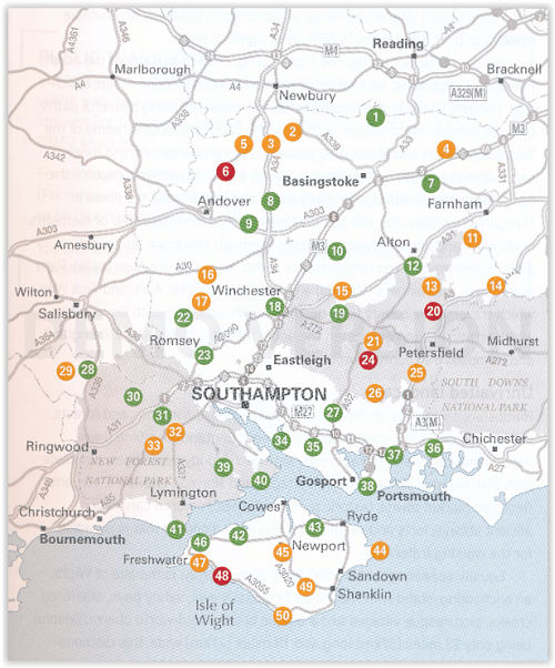
Engelse omschrijving: Walking is one of Britain's favourite leisure activities, and AA 50 Walks in Hampshire & Isle of Wight features a variety of mapped walks of two to ten miles, to suit all abilities.
Locatie op kaart
Artikelen uit dezelfde regio

Wandelkaart 144 Basingstoke - Alton & Whitchurch - OSI • 9780319243374
Wandelkaart Basingstoke- Alton & Whitchurch - Hampshire England Productbeschrijving: Alton & Whitchurch Odiham, Overton & Hook. 144 / Basingstoke, Alton & Whitchurch - Hampshire, England - Kaart nummerl 144 in de OS Explorer reeks heeft betrekking op een gebied in het noorden van Hampshire, van Whitchurch in het westen tot Odiham en Alton in het Oosten, rond in de stad van Basingstoke…

Wandelkaart 196 The Solent & Isle of Wight - OSI • 9780319475195
Wandelkaart The Solent & the Isle of Wight - England Productbeschrijving: Kaart nummer 196 in de OS Landranger kaarten reeks, is de ideale kaart om te gebruiken bij het plannen van daguitstapjes of vakantie in de Solent en The Isle of Wight. Het gebied is beroemd om zijn zeilen, kust-wandelingen en het New Forest Nationaal park. Hoogtepunten van het gebied zijn onder andere: Lyndhurst, Sou…
Reisgids Zuid-Engeland - Uitgeverij Lannoo • 9789059960978
Reisgids Zuid-Engeland - Lannoo Productomschrijving: Engelandkenner Dirk Musschoot laat je op een onovertroffen wijze kennismaken met de regio's Kent, East en West Sussex, Surrey, Hampshire en het eiland Wight, en de bestemmingen die je daar absoluut niet mag missen. Enkele voorbeelden: de optrekjes van Charles Darwin, Winston Churchill en Rudyard Kipling, de imposante kliffen van Beac…

Wandelgids 012 Pathfinder New Forest & South Downs NP Hampshire • 9780319090107
Wandelgids New Forest & South Downs NP Hampshire - OS Productomschrijving: This Pathfinder walking guidebook covers the New Forest National Park, Hampshire and the South Downs National Park, including the Itchen and Test valleys. There are 28 outstanding circular walks in the Hampshire countryside ranging from two to ten miles in length, and graded by difficulty by expert outdoor writer D…

Wandelkaart South Downs Way - Vertebrate Publ. • 9781839810305
Wandelkaart South Downs Way - Vertebrate Productomschrijving: Easy-to-use folding map and essential information, with custom itinerary planning for walkers, trekkers, fastpackers and trail runners The South Downs Way Guidemap from Vertebrate Publishing is a lightweight, waterproof, durable and easy-to-use folding map with 1:40,000-scale mapping for the linear SDW route. Includes an elevati…