

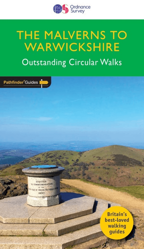
Wandelgids 074 Pathfinder guides Malverns to Warwickshire - OS
Warwickshire Beacon - Lickey Hills - Charlecote Park
Korte omschrijving
Wandelgidsen Warwickshire, West Midlands, Worcestershire, West England en Hereford, England van Ordnance Survey. Ideaal voor tochten in England.
Wandelgids The Malverns AONB to Warwickshire - OS Productomschrijving: With 28 circular, graded walks all tried and tested by seasoned walkers, this walking guidebook for The Malverns AONB ...

Specificaties
- Uitgever: Ordnance Survey
- ISBN-13: 9780319090725
- HOOFDCATEGORIEËN: Wandelgids
- Activiteiten: Wandelen, Hiking & Trekking
- Auteur: Nick Channer
- Regio: Hereford, England, Warwickshire, West Midlands, Worcestershire, West England
- Land: England
- AONB - Area of Outstanding Beauty/National Landscape: Malvern Hills AONB
- Taal: Engels
- Reeks/Serie: Outstanding Circular Walks, Pathfinder Series, OS
- De Engelse Graafschappen: Herefordshire, Warwickshire, Worcestershire
Volledige omschrijving
Wandelgids The Malverns AONB to Warwickshire - OS
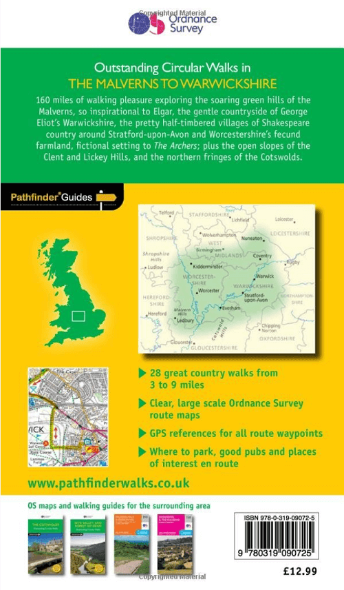
Productomschrijving: With 28 circular, graded walks all tried and tested by seasoned walkers, this walking guidebook for The Malverns AONB and Warwickshire is ideal for both holidays and locals. The routes discovered in this guidebook are from 4.8 to 15km (3 to 9 miles), so there's a choice for all abilities. Each route includes a detailed description, the Ordnance Survey map for the route, GPS waypoints and key historical and landscape features.
The area covered by this guide is characterised by gently rolling hills, verdant river valleys, wooded tracts, small market towns and an abundance of attractive villages with thatched cottages, medieval churches and fine old pubs. The walks in this guide include the Warwickshire Beacon, the oddly-named Lickey Hills and Charlecote Park landscaped by 'Capability' Brown and allegedly where Shakespeare was once caught poaching.
Pathfinder Guides are Britain’s best-loved walking guides. Printed with weather-resistant covers featuring durable rounded corners, they are the perfect companion for country walking throughout Britain.
Artikelen uit dezelfde regio

Wandelgids Malvern Hills Short walks - Cicerone • 9781786311399
Wandelgids Malvern Hills Short walks - Cicerone Productomschrijving: Julia Goodfellow-Smith heeft 15 van de beste korte wandelingen in de Malvern Hills AONB gekozen, waaronder Worcestershire Beacon. Elke wandeling is voorzien van goed leesbare Ordnance Survey-kaarten, een duidelijke routebeschrijving en veel afbeeldingen, plus informatie over mooie plekjes en rustplaatsen. Geen moeilijk te…
Reisgids Cotswolds England - Rough Guides • 9780241308752
Reisgids Cotswolds England - Rough Guides Productomschrijving: The Rough Guide to the Cotswolds AONB is your definitive handbook to one of the most beautiful and diverse holiday destinations in the UK. From stately homes and wildlife parks to modern art galleries, country walks and adventure sports, there is a section that introduces all of the regions’ highlights. For every town and v…

Wandelgids - Cotswold Classic Walks - Goldeneye • 9781859652916
Cotswold Classic Walks - Goldeneye Productomschrijving: Met 25 rondwandelingen helpt dit boek u een uitvalsbasis te vinden om de auto te ontvluchten en te genieten van een weekend vol frisse lucht en beweging.... Sommige wandelingen bieden verschillende routemogelijkheden en links naar andere wandelingen. Hoe beslist u welke wandeling u gaat doen? - Waar zijn de mooiste uitzichten? - W…

Fietskaart 02 Cotswold AONB cycling map - Goldeneye • 9781859653036
Fietskaart Cotswold cycling map - Goldeneye Productomschrijving: De Cotswolds zijn een AONB regio, een regio van uitmuntend natuurschoon. In Engeland geklasseerd als AONB, Area of Outstanding Natural Beauty. Zo heeft de UK er een pak verdeeld over het land. De Cotswold kun je een beetje vergelijken met Cornwall, maar dan zonder de kustlijnen. Hier vindt je prachtige landschappen en trails …
Moutainbike Cotswold Gravel & Mountain AONB - Goldeneye • 9781859653135
Moutainbike map Cotswold - Goldeneye Productomschrijving: Cotswold Gravel & Mountain Bike Routes: The Ultimate Off-Road Experience - Gravel & Mountain Bike Routes 18 (Paperback) When mountainbiking in the Cotswolds, in an Area of Outstanding Natural Beauty of AONB area, a lot of sportsfanatics & MTB fanatics are very interested, and cannot go wrong with this new Goldeneye mountainbiki…