Cotswolds Mountain Biking - Vertebrate Publ.
features 20 classic MTB routes in the Cotswold Hills
Korte omschrijving
Cotswolds AONB Mountain Biking - Vertebrate Productomschrijving: 20 Classic Rides - Cotwolds Mountain Biking by Tom Fenton features 20 classic MTB routes in the Cotswold Hills across the cou...

Specificaties
- Uitgever: Vertebrate Publishing
- ISBN-13: 9781906148140
- HOOFDCATEGORIEËN: Fietsgids
- Activiteiten: Fietsen / VTT / MTB
- Auteur:: Tom Fenton
- Regio: Gloucestershire, Egland, Oxfordshire west England, Somerset South West England, Warwickshire, West Midlands, Wiltshire, West England, Worcestershire, West England
- Land: England
- AONB - Area of Outstanding Beauty: Cotswolds AONB
- Taal: Engels
Volledige omschrijving
Cotswolds AONB Mountain Biking - Vertebrate
Productomschrijving: 20 Classic Rides - Cotwolds Mountain Biking by Tom Fenton features 20 classic MTB routes in the Cotswold Hills across the counties of Gloucestershire and Oxfordshire, and extending into parts of Wiltshire, Somerset, Worcestershire and Warwickshire. With Ordnance Survey mapping and easy-to-follow directions.
The Cotswold Hills stretch across the counties of Gloucestershire and Oxfordshire, and extend into parts of Wiltshire, Somerset, Worcestershire and Warwickshire. Cotswolds Mountain Biking - 20 Classic Rides by Tom Fenton reveals all on the excellent and varied mountain biking tucked away in this Area of Outstanding Natural Beauty.
This book from leading MTB guidebook publisher Vertebrate Publishing features 20 classic rides between 14km and 77km in length, suitable for mountain bikers of all abilities - many of which are within easy reach of major towns and cities, including Birmingham, Coventry, Worcester, Gloucester, Oxford, Banbury, Swindon, Cheltenham and Bristol. Each ride is described with easy-to-follow directions and is plotted on clear and easy to use Ordnance Survey 1:50,000 mapping. Also included with each ride are details of distance, timings and difficulty gradings, plus refreshment stops and local knowledge. A Bonus Section includes details of the riding at Leckhampton Hill and Forest of Dean, plus top tens for descents, climbs and singletrack. A detailed appendix features information on places to eat, drink, stay and have your bike repaired!

Artikelen uit dezelfde regio

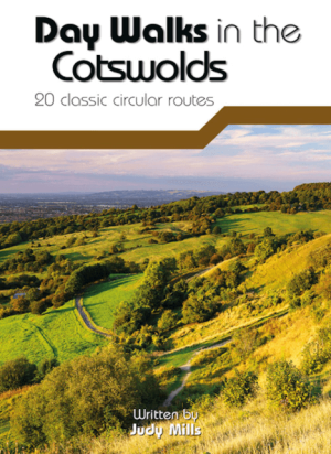
Wandelgids Day Walks in the Cotswolds AONB - Vertebrate Publ. • 9781910240991
Day Walks in the Cotswolds AONB - Vertebrate Productomschrijving: Day Walks in the Cotswolds by Judy Mills features 20 circular routes suitable for hillwalkers of all abilities. Together with stunning photography, each route features Ordnance Survey 1:25,000 maps, easy-to-follow directions, distance and navigation information, refreshment stops and local information. Split across thre…

Wandelkaartv OL14 Wye Valley, Forest of Dean & Dyfryn Gwy - OS • 9780319263839
Wandelkaartv Wye Valley, Forest of Dean & Dyfryn Gwy - OS Productomschrijving: Parts of Offa's Dyke Path, on the border of England & Wales. Omvat: Wye Valley, Forest of Dean & Dyfryn Gwy, Wye Valley AONB, Daffodil Way, Gloucestershire Way, Herefordshire Way, Jubilee Way, Offa's Dyke Path, Severn Way, Thames & Severn Way, Three Coastal Walk, Wales Coast Path, Wye Valley Walk & Wysis Way…

Wandelkaart 142 Shepton Mallet & Mendip Hills - OSI • 9780319243350
Wandelkaart Shepton Mallet & Mendip Hills East - Somerset Omvat ook: Frome & Midsomer Norton. Productbeschrijving: Kaart nummer 142 in de OS Explorer kaarten reeks omvat Midsomer Norton, Frome, Shepton Mallett en Strauss. Hoogtepunten van het gebied zijn onder andere: Westerse Cranbourne Chase AONB en West Wiltshire Downs AONB, het zuidelijkste puntje van de Cotswolds AONB. De rivier d…

Wandelkaart OL45 The Cotswolds AONB - OS • 9780319242841
Wandelkaart The Cotswolds AONB - OS Productomschrijving: Wychwood Community Forest, The Centenary Way, Cotswolds Way, D'Arcy Dalton Way, Diamond Way, E2 European Long Distance Path, Gloucestershire Way, Heart of England Way, Macmillan Way, Monarch's Way, Oxfordshire Way, Thames Path, Shakespeare Way, Warden's Way, Winchcombe Way, Windrush Way & Wychavon Way. Omvat: Burford, Chipping C…

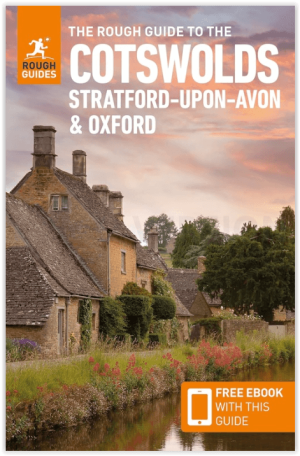
Reisgids Cotswolds AONB - Rough Guides • 9781839059728
The Cotswolds AONB - Rough Guides Productomschrijving: Deze omvat het Cotswolds gebied in zuid-oost Engeland. Een gebied van uitmuntend natuurschoon, of in andere meer lokalere woorden, een AONB area, of Area of Outstanding Natural Beauty. Bij ons is dat bijvoorbeeld de westhoek, het Zwin, enz... Deze reisgids biedt u deze regio inclusief de locaties van Stratford-Uppon-Avon & Oxford die a…


