

Wandelgids Day Walks in the Cotswolds AONB - Vertebrate Publ.
North-East Cotswolds - North-West Cotswolds - South Cotswolds

Korte omschrijving
Wandelgidsen Somerset South West England, Warwickshire, West Midlands, Wiltshire, West England, Oxfordshire west England en Worcestershire, West England van Vertebrate Publishing. Ideaal voor tochten in England.
Day Walks in the Cotswolds AONB - Vertebrate Productomschrijving: Day Walks in the Cotswolds by Judy Mills features 20 circular routes suitable for hillwalkers of all abilities. Together wi...

Specificaties
- Uitgever: Vertebrate Publishing
- ISBN-13: 9781910240991
- HOOFDCATEGORIEËN: Wandelgids
- Activiteiten: Wandelen, Hiking & Trekking
- Auteur: Judy A. Mills
- Regio: Oxfordshire west England, Somerset South West England, Warwickshire, West Midlands, Wiltshire, West England, Worcestershire, West England
- Land: England
- AONB - Area of Outstanding Beauty/National Landscape: Cotswolds AONB
- Taal: Engels
- Reeks/Serie: Day walks in, vertebrate Publishing
Volledige omschrijving
Day Walks in the Cotswolds AONB - Vertebrate
Productomschrijving: Day Walks in the Cotswolds by Judy Mills features 20 circular routes suitable for hillwalkers of all abilities. Together with stunning photography, each route features Ordnance Survey 1:25,000 maps, easy-to-follow directions, distance and navigation information, refreshment stops and local information.
Split across three areas – North-East Cotswolds, North-West Cotswolds and South Cotswolds – local author Judy Mills shares her favourite walks in this Area of Outstanding Natural Beauty. These walks take in a variety of local landmarks, including the World War II airfield and Roman villa at Chedworth, Neolithic long barrows such as Hetty Pegler’s Tump, grand country estates like Badminton, magnificent Cotswold manor houses and historic churches, high points at Bredon Hill and North Nibley, and the many charming rural villages, such as the Duntisbournes and the Slaughters, for which the Cotswolds are famous. E
ach route features Ordnance Survey 1:25,000 maps, easy-to-follow directions, details of distance and navigation information, and refreshment stops and local information. The walks are illustrated with stunning photography by outdoor photographer Adam Long.


Artikelen uit dezelfde regio
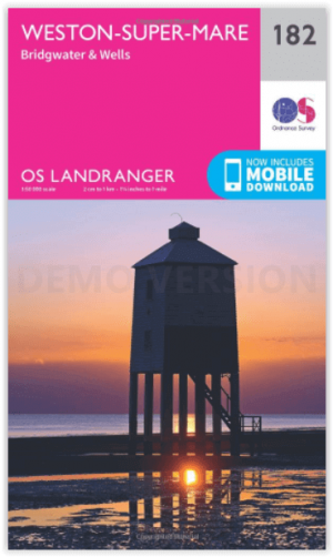
Wandelkaart 182 Weston-super-Mare- Somerset England - OSI • 9780319262801
Wandelkaart Weston-super-Mare - Somerset England Productbeschrijving: Kaart nummer 182 in de OS Landranger kaarten reeks, is de ideale kaart voor de planning van dagexcursies en vakanties rond Weston-Super-Mare en de Mendip Hills. Verken de kustgebieden van Bridgwater Bay rond Burnham-on-Sea, of de binnenvaart steden Bridgwater en Wells, samen met andere hoogtepunten zoals Glastonbury, Mai…
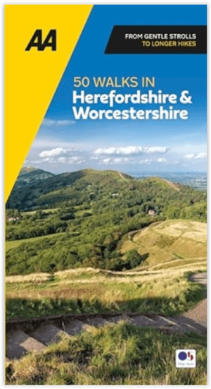
Wandelgids 50 walks in Herefordshire & Worcsestershire - AA • 9780749583736
50 walks in Herefordshire & Worcsestershire - AA Productomschrijving: Herefordshire en Worcestershire, twee prachtige graafschappen in het westen van Engeland, zijn rijk aan natuurschoon, historische plekken en traditionele Engelse dorpen. De wandelgids "50 Walks in Herefordshire & Worcestershire" biedt wandelaars een scala aan routes door deze schilderachtige regio's. Deze gids geeft je g…

Wandelkaart 140 Quantock Hills AONB- Somerset - OSI • 9780319243336
Wandelkaart Quantock Hills AONB & Bridgewater - Somerset Productbeschrijving: Deze zeer gedetailleerde kaarten tonen alle administratieve grenzen & nederzettingen zo klein als geïsoleerde boerderijen. De steile hellingen op de wegen worden aangeduid. Diverse bezienswaardigheden, bijvoorbeeld het elektriciteitsnet, archeologische vindplaatsen, molens, kerken en vuurtorens worden weergegeven…
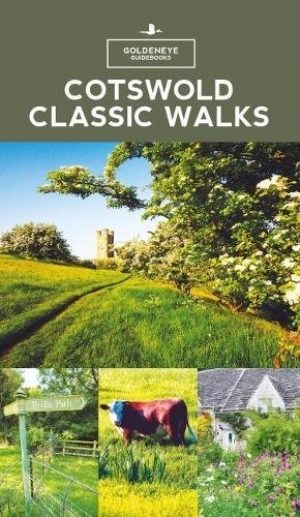
Wandelgids - Cotswold classic walks guidebook - Goldeneye • 9781859652602
Wandelgids Cotswold classic walks guidebook Productomschrijving: In eerste instantie is dit wat de engelsen noemen een AONB, een "Area of Outstanding Natural Beauty" die in deze versie verspreidt word over verschillende regio's aangezien zijn grote. Deze plaats van subliem natuurschoon, ligt deel is, Somerset, deels in wawickshire, deels in Wiltshire, deels in Oxfordshire en is de meest be…
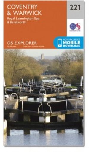
Wandelkaart 221 Coventry & Warwickshire - OSI • 9780319244142
Wandelkaart Coventry & Warwickshire - England Productbeschrijving: Royal Leamington Spa & Kenilworth. 221 / Coventry & Warwickshire, England - OS Explorer kaart 221 dekt Coventry, Warwick, Royal Leamington Spa en de omliggende gebieden. Warwick Castle en vervolgens de rivier de Avon en Fort Lunt Roamn in de buurt van Coventry. De OS Explorer kaart voor Coventry & Warwick is beschikbaa…