
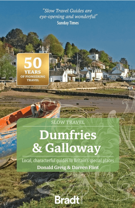
Reisgids Go Slow Dumfries & Galloway - Bradt travel guides
Eskdale- Mull of Galloway- Annandale- Nithsdale- Dumfries
Korte omschrijving
Reisgidsen Dumfries & Galloway, Schotland van Bradt guides. Ideaal voor tochten in Schotland.
Reisgids Dumfries & Galloway - Bradt Productomschrijving: Written by Southern Scotland experts, this new, thoroughly updated third edition of Bradt's Dumfries & Galloway (Slow Travel) remai...

Specificaties
- Uitgever: Bradt guides
- ISBN-13: 9781804692721
- HOOFDCATEGORIEËN: Reisgids
- Activiteiten: Toerisme
- Regio: Dumfries & Galloway, Schotland
- Land: Schotland
- Editie: 3
- Taal: Engels
- Reeks/Serie: Go slow, Bradt guides
Volledige omschrijving
Reisgids Dumfries & Galloway - Bradt
Productomschrijving: Written by Southern Scotland experts, this new, thoroughly updated third edition of Bradt's Dumfries & Galloway (Slow Travel) remains the only full-blown guide to this beguiling southwest corner of Scotland.
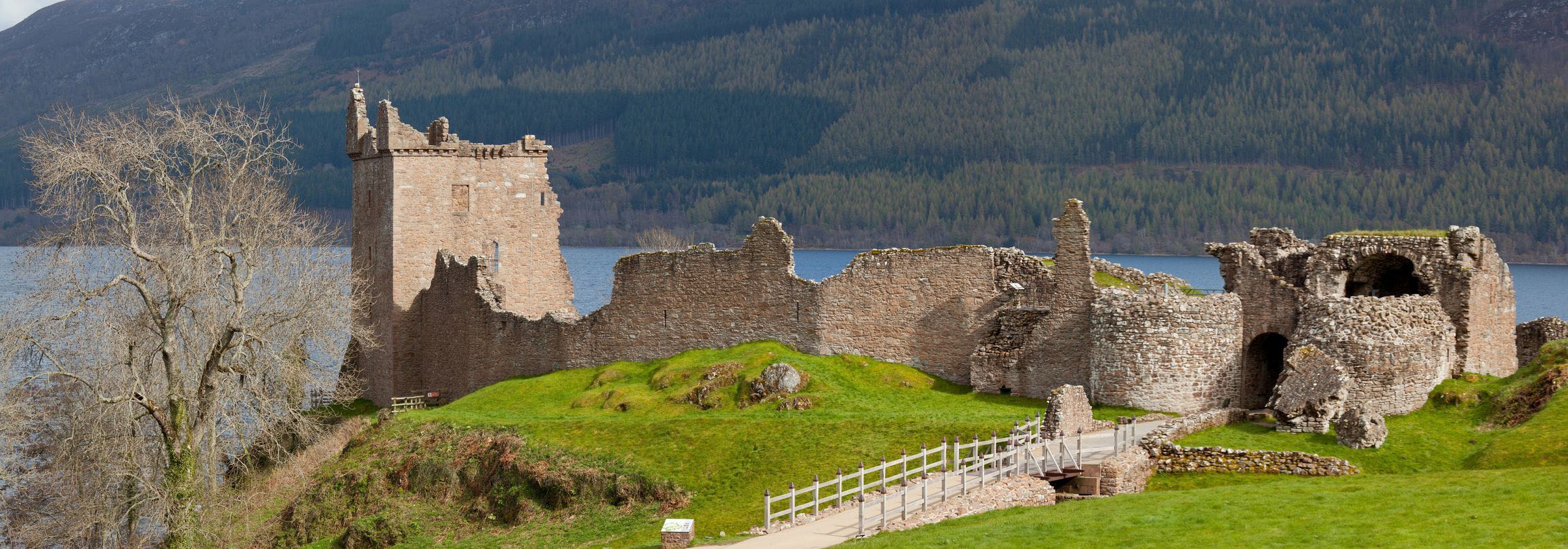
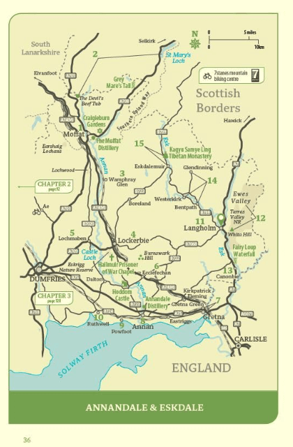
The region is covered in depth, from Eskdale in the east to Scotland's southern tip at the Mull of Galloway, via Annandale, Nithsdale, Dumfries, The Stewartry, The Machars and Moors, and the Rhins.
Locatie op kaart
Artikelen uit dezelfde regio
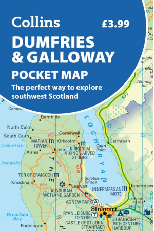
Landkaart Wegenkaart Pocket map Dumfries & Galloway - Harper • 9780008780449
Wegenkaart Pocket map Dumfries & Galloway - Harper Collins Productomschrijving: Dumfries & Galloway Pocket Map: The perfect way to explore southwest Scotland Map Handy little full colour map of Dumfries & Galloway.

Wandelkaart Galloway Hills XT40 ultra - Harvey Maps • 9781851377282
Wandelkaart Galloway Hills - Harvey Maps Productomschrijving: De Galloway Hills zijn een reeks heuvels in de Schotse regio Dumfries and Galloway. Ze liggen in het zuidwesten van Galloway. De Galloway Hills bestaan uit de bergen Merrick, Criffel & Cairnsmore of Fleet.

Wandelkaart 321 Nithsdale & Dumfries & Thornhill - OSI • 9780319245736
Wandelkaart Nithsdale & Dumfries - Thornhill Dumfries Omvat ook: Thornhill Productomschrijving: OS Explorer kaart 321 omvat Dumfries te Thornhill. Het gebied staat bekend als Nithsdale, want het is de vallei van de rivier de Nith. De indrukwekkende Drumlanrig Castle is het hele jaar geopend, of er zijn wandelpaden over het Nithsdale gebied. De OS Explorer kaart voor Nithsdale & Dumfrie…

Wandelgids Walking the Galloway Hills - Cicerone • 9781786310101
Wandelgids - Walking the Galloway Hills - Cicerone Productomschrijving: Deze gids omvat 34 dagwandelingen en een langeafstandsroute in de wilde en afgelegen heuvels van de Galloway in Schotland. Hoewel er enkele kortere en gemakkelijkere routes zijn, zijn dit enkele van de meest populaire, lange afstandswandelingen in het land, dus ze zijn meer geschikt voor ervaren wandelaars. De wan…
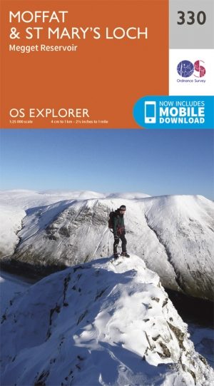
Wandelkaart 330 Moffat & St Mary's Loch - Dumfries - OSI • 9780319245828
Wandelkaart Moffat & St Mary's Loch - Schotland Omvat ook: Megget Reservoir Productomschrijving: Omvat Moffat in Dumfries and Galloway, Schotland. OS Explorer kaart 330 omvat ook St. Mary's Loch, Megget Reservoir en deel van de Southern Upland Way, een lange afstand wandelroute. De OS Explorer kaart voor Moffat & St Mary's Loch is beschikbaar in zowel de standaard papieren versie als …