
Mountainbikegids Southern & Central Schotland - Cicerone
Beschrijft 21 mountainbike fietsroutes in Midden- en Z. Schotland

Korte omschrijving
Fietsgidsen Highlands, Schotland van CICERONE Press. Ideaal voor tochten in Schotland.
Mountainbikegids - Southern & Central Schotland - Cicerone Productomschrijving: Deze gids beschrijft 21 mountainbike fietsroutes in Midden- en Zuid-Schotland, met inbegrip van de 7 stanes in...

Specificaties
- Uitgever: CICERONE Press
- ISBN-13: 9781852847470
- HOOFDCATEGORIEËN: Fietsgids
- Activiteiten: Fietsen / VTT / MTB
- Regio: Highlands, Schotland
- Land: Schotland
- Editie: 1
- Taal: Engels
- VTT / MTB: Mountainbike, Vélo Tout Terrain
Volledige omschrijving
Mountainbikegids - Southern & Central Schotland - Cicerone
Productomschrijving: Deze gids beschrijft 21 mountainbike fietsroutes in Midden- en Zuid-Schotland, met inbegrip van de 7 stanes in Dumfries and Galloway, en crosscountry-routes in de Campsie Fells, Pentland Hills en Lammermuirs, de Galloway Forest, Tweed Vallei, Cheviots en Lowther Hills. De routes variëren van 16,5 tot 66km ingedeeld van matig tot zeer zwaar.
Productdescription: This guidebook describes 21 mountain biking routes in central and southern Scotland, including the 7stanes in Dumfries and Galloway, and cross country routes in the Campsie Fells, Pentland Hills and Lammermuirs, the Galloway Forest, Tweed Valley, Cheviots and Lowther Hills. The routes range from 16.5 to 66km graded from moderate to very hard.
Seasons:
Dry weather is hard to guarantee in Southern and Central Scotland though summer is the likeliest time for dry trails. However, every season has its charms - so long as rain and mud doesn't scare you - and winter really can be a wonderland.
Centres:
Glasgow, Milngavie, Greenock, Lochwinnoch, Glentrool, New Cumnock, Moniaive, Durisdeer, Wanlockhead, Sanquhar, Hownam, Kirk Yetholm, Peebles, Traquair, Innerleithen, Longformacus, Gifford, Balerno.
Difficulty:
The routes are intended for mountain bikers with at least some experience and a reasonable degree of fitness. There are no 'easy' routes in this guidebook, hence routes are graded 'moderate', 'hard' and 'very hard' Any 'difficult' or 'technical' sections are indicated. The general lack of signposts and other waymarkers endemic to Scotland makes navigation more of a challenge than in other parts of the UK.
Must See:
The Campsie Fells, the Pentland Hills and the Lammermuirs, the Galloway Forest, the Tweed Valley, the Cheviots and the Lowther Hills of Dumfriesshire.
Locatie op kaart
Artikelen uit dezelfde regio

Wandelkaart 377 Loch Etive & Glen Orchy- Schotland - OSI • 9780319472446
Wandelkaart Loch Etive & Glen Orchy - Highlands Schotland Omvat ook: Dalmally, Tyndrum, Bridge of Orchy & Taynuilt. Productbeschrijving: Dubbel zijdige OS Explorer kaart 377 toont de omgeving van Loch Etive tot aan Loch Lomond en de Trossarchs National Park. Naast een substantieel deel van de West Highland way zijn er 21 Munro's om op zak te steken, samen een deel van de Ben Nevis en d…

Wandelkaart 449 Strath Halladale & Strathy Point - OSI • 9780319473016
Wandelkaart Strath Halladale & Strathy Point - Schotland Omvat ook: Melvich & Forsinard. Productbeschrijving: Aan de Noord kust van Schotland, volgt OS Explorer kaart 449 de Strath Halladale en de Halladale-rivier, en omvat Strathy Point, Melvich en Forsinard. Er zijn talrijke kleine lochs aanwezig, evenals de pieken van Beinn Ratha (242 m) en Channian Hil (302 m). De OS Explorer kaart…
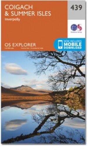
Wandelkaart 439 Summer Isles & Coigach- Schotland - OSI • 9780319246825
Wandelkaart Summer Isles & Coigach - Highlands Schotland Productbeschrijving: Inverpolly 439 / Summer Isles, Highlands, Schotland - OS Explorer kaart 439 toont de nationale Scenic Area op het schiereiland Coigach plus de zomer eilanden.Dit gebied zal elke outdoor liefhebber een uitdaging geven. Het gebied is afgelegen, bergachtige en dunbevolkt. De meeste van de zomer-eilanden, met uit…
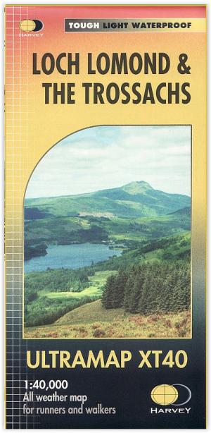
Wandelkaart XT40 - Loch Lomond & The Trossachs - Harvey Maps • 9781851376254
Wandelkaart XT40 - Loch Lomond & The Trossachs - Harvey Maps Productomschrijving: Omvat een groot gebied maar is praktisch en compact, zakformaat. Gedetailleerde kaart voor lopers en wandelaars van het Nationaal Park Loch Lomond & the Trossachs. Bevat de meest zuidelijke Munro van Schotland, Ben Lomond en een inzet kaart voor de toegang tot Ben Vorlich van Loch Earn. Ideaal voor de Great T…

Wandelkaart XT25 Fannichs Seana Bhraigh - Harvey Maps • 9781851376209
Wandelkaart XT25 - Fannichs Seana Bhraigh & Ben Wyvis - Harvey Maps Productomschrijving: Een locatie in de Noordelijke Schotse Highlands, gelegen bij de bekende berg Ben Wyvis, meerbepaald ten oostenlijke Ross, noordwestelijk gelegen van Dingwall in het noorden van Schotland. Opgelet, deze locaties zijn voor ervaren hikers, de locatie is niet geschikt voor onervaren mensen. De precieze…