

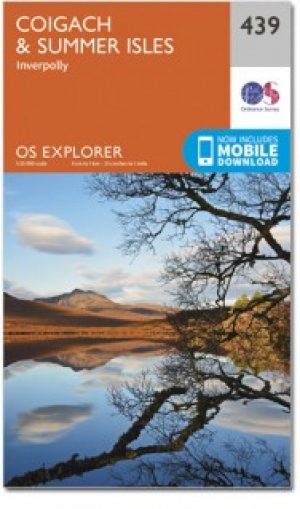
Wandelkaart 439 Summer Isles & Coigach- Schotland - OSI
Omvat de nationale Scenic Area op het schiereiland Coigach


Korte omschrijving
Wandelkaarten Highlands, Schotland van Ordnance Survey. Ideaal voor tochten in Schotland.
Wandelkaart Summer Isles & Coigach - Highlands Schotland Productbeschrijving: Inverpolly 439 / Summer Isles, Highlands, Schotland - OS Explorer kaart 439 toont de nationale Scenic Area o...

Specificaties
- Uitgever: Ordnance Survey
- ISBN-13: 9780319246825
- HOOFDCATEGORIEËN: Wandelkaart
- Activiteiten: Wandelen, Hiking & Trekking
- Regio: Highlands, Schotland
- Land: Schotland
- TOPO's & Stafkaarten: Topografisch wandelen
- Schaal: 1:25000
- Taal: Engels
- Reeks/Serie: Explorer Series OS
Volledige omschrijving
Wandelkaart Summer Isles & Coigach - Highlands Schotland
Productbeschrijving: Inverpolly
439 / Summer Isles, Highlands, Schotland - OS Explorer kaart 439 toont de nationale Scenic Area op het schiereiland Coigach plus de zomer eilanden.Dit gebied zal elke outdoor liefhebber een uitdaging geven. Het gebied is afgelegen, bergachtige en dunbevolkt. De meeste van de zomer-eilanden, met uitzondering van Tanera Mòr, hebben geen permanente bewoners. De OS Explorer kaart voor Coigach & Summer Isles is beschikbaar in zowel de standaard papieren versie als de weerbestendige 'Actief' versie.
439 / Summer Isles, Highlands, Schotland - OS Explorer Map 439 shows the National Scenic Area on the Coigach peninsula plus the Summer Isles. This area will provide a challenge to any outdoor enthusiast. The area is remote, mountainous and sparsely populated. Most of the Summer Isles, with the exception of Tanera Mòr, have no permanent residents. The OS Explorer map for Coigach & Summer Isles is available in both the standard paper version and weatherproof 'Active' version.
Locatie op kaart
Gekoppelde artikelen
Wandelkaart 439 Summer Isles & Coigach- Schotland - OSI • 9780319246825
standaard versieWandelkaart Summer Isles & Coigach - Highlands Schotland Productbeschrijving: Inverpolly 439 / Summer Isles, Highlands, Schotland - OS Explorer kaart 439 toont de nationale Scenic Area op het schiereiland Coigach plus de zomer eilanden.Dit gebied zal elke outdoor liefhebber een uitdaging geven. Het gebied is afgelegen, bergachtige en dunbevolkt. De meeste van de zomer-eilanden, met uit…

Wandelkaart 439 Coigach & Summer Isles Schotland - OSI • 9780319472910
weatherproof versieWandelkaart Coigach & Summer Isles - Inner-Hybrids Schotland Omvat ook: Inverpolly. Productbeschrijving: OS Explorer kaart 439 toont de nationale Scenic Area op het schiereiland Coigach alsook de zomer eilanden. Dit gebied zal elke outdoor liefhebber een uitdaging boeden. Het gebied is afgelegen, bergachtige en dunbevolkt. De meeste van de zomer-eilanden, met uitzondering van Tanera Mò…
Artikelen uit dezelfde regio
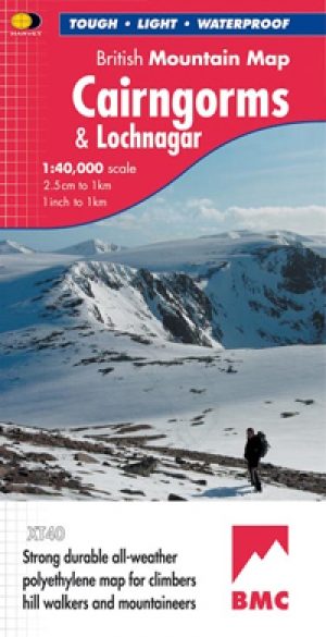
Wandelkaart Cairngorms National Park - Harvey maps • 9781851374533
Wandelkaart Cairngorms National Park - Harvey maps Productomschrijving: Een inspirerende kaart die betrekking heeft op veel van Schotland's nieuwste Nationaal Park. Duidelijke en gemakkelijk te lezen met massa's van informatie voor de wandelaar, klimmer en mountainbiker, en vrijwel onverwoestbaar, door ' Nigel Williams', hoofd van trainingen, te Glenmore Lodge. Omschrijving: Nieuwe gen…
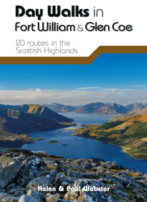
Wandelgids Day Walks in Fort William & Glen Coe - Vertebrate publ • 9781912560646
Day Walks in Fort William & Glen Coe Scotland Productomschrijving: 20 routes in the Scottish Highlands Day Walks in Fort William & Glen Coe features 20 routes between 4.4 and 14.4 miles (7km and 23.2km) in length, spread across the Scottish Highlands. Researched and written by experienced and knowledgeable authors Helen and Paul Webster, founders of the Walkhighlands website, the walk…

Wandelkaart 57 Stirling & The Trossachs NP - Highland's - OSI • 9780319473801
Wandelkaart Stirling & the Trossachs NP Highland's Schotland Productbeschrijving: OS Landranger kaart 57 omvat Stirling & The Trossachs alsook Ben Vorlich, Mor Bheinn, Ling Hill, Ben Ledi, Venachar Loch, Loch Katrine, Loch Ard evenals deel van de Loch Lomond en de Trossachs nationaal park. Stirling en zijn kasteel zij zeker een bezoekje waard, terwijl het nabijgelegen Wallace Monument een …
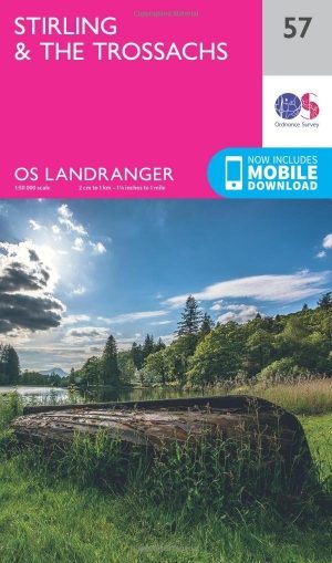
Wandelkaart 57 Stirling & The Trossachs NP - Schotland - OSI • 9780319261552
Wandelkaart Stirling & The Trossachs NP - Schotland Productbeschrijving: OS Landranger kaart 57 van Stirling & The Trossachs, omvat ook Ben Vorlich, Mor Bheinn, Ling Hill, Ben Ledi, Venachar Loch, Loch Katrine, Loch Ard evenals deel van de Loch Lomond en de Trossachs nationaal park. Stirling en het kasteel is zeker een bezoekje waard, terwijl het nabijgelegen Wallace Monument in een indruk…

Wandelkaart Ben Nevis and Glen Coe Schotland - Harvey maps • 9781851374434
Wandelkaart Ben Nevis and Glen Coe Schotland - Harvey maps Productomschrijving: Verbluffende nieuwe kaart van Ben Nevis en Glen Coe bergen. "Deze uitstekende Ben Nevis en Glen Coe kaart biedt alle details die nodig zijn voor de veilige navigatie op deze iconische bergen". Afgedrukt op polyethyleen - duurzaam, scheurbestendig en 100% waterdicht. Gemaakt in samenwerking met de British Counci…