

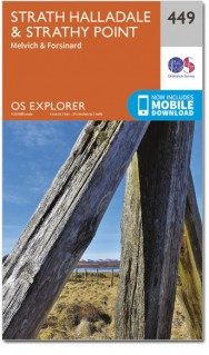
Wandelkaart 449 Strath Halladale & Strathy Point - OSI
Strath Halladale en de Halladale-rivier
Korte omschrijving
Wandelkaarten Highlands, Schotland van Ordnance Survey. Ideaal voor tochten in Schotland.
Wandelkaart Strath Halladale & Strathy Point - Schotland Omvat ook: Melvich & Forsinard. Productbeschrijving: Aan de Noord kust van Schotland, volgt OS Explorer kaart 449 de Strath Halla...

Specificaties
- Uitgever: Ordnance Survey
- ISBN-13: 9780319473016
- HOOFDCATEGORIEËN: Wandelkaart
- Activiteiten: Wandelen, Hiking & Trekking
- Regio: Highlands, Schotland
- Land: Schotland
- Waterafstotende kaart: Ordnance Survey ACTIVE Explorer Weatherproof Maps
- TOPO's & Stafkaarten: Topografisch wandelen
- Schaal: 1:25000
- Taal: Engels
- Reeks/Serie: Explorer ACTIVE Series OSI
Volledige omschrijving
Wandelkaart Strath Halladale & Strathy Point - Schotland
Omvat ook: Melvich & Forsinard.
Productbeschrijving: Aan de Noord kust van Schotland, volgt OS Explorer kaart 449 de Strath Halladale en de Halladale-rivier, en omvat Strathy Point, Melvich en Forsinard. Er zijn talrijke kleine lochs aanwezig, evenals de pieken van Beinn Ratha (242 m) en Channian Hil (302 m). De OS Explorer kaart voor Strath Halladale & Strathy Point is beschikbaar in zowel de standaard papieren versie als de weerbestendige 'Actief' versie.
Productdiscription: On the north coast of Scotland, OS Explorer map 449 follows Strath Halladale and the Halladale River, and includes Strathy Point, Melvich and Forsinard. There are numerous small lochs, as well as the peaks of Beinn Ratha (242 m) and Channian Hil (302 m). The OS Explorer map for Strath Halladale & Strathy Point is available in both the standard paper version and weatherproof 'Active' version.
Locatie op kaart
Gekoppelde artikelen

Wandelkaart 449 Strath Halladale & Strathy Point - OSI • 9780319246924
standaard versieWandelkaart Strath Halladale & Strathy Point Omvat ook: Melvich & Forsinard. Productbeschrijving: Aan de Noord kust van Schotland, omvat OS Explorer kaart 449 Strath Halladale en de Halladale-rivier, en omvat Strathy Point, Melvich en Forsinard. Ook zijn talrijke kleine lochs aanwezig, evenals de pieken van Beinn Ratha (242 m) en Channian Hil (302 m). De OS Explorer kaart voor Strath H…

Wandelkaart 449 Strath Halladale & Strathy Point - OSI • 9780319473016
weatherproof versieWandelkaart Strath Halladale & Strathy Point - Schotland Omvat ook: Melvich & Forsinard. Productbeschrijving: Aan de Noord kust van Schotland, volgt OS Explorer kaart 449 de Strath Halladale en de Halladale-rivier, en omvat Strathy Point, Melvich en Forsinard. Er zijn talrijke kleine lochs aanwezig, evenals de pieken van Beinn Ratha (242 m) en Channian Hil (302 m). De OS Explorer kaart…
Artikelen uit dezelfde regio

Wandelkaart 373 Iona- Staffa & Ross of Mull - OSI • 9780319246207
Wandelkaart Iona- Staffa & Ross of Mull - Schotland Productbeschrijving: Iona vroeger ook wel bekend als Hy, is een eiland aan de westkust van Schotland. 373 / Iona, Staffa & Ross of Mull, Highlands, Schotland - Kaart nummer 373 is een all purpose kaart vol gepakt met informatie om u het gebied te helpen leren kennen. De 204 Explorer-kaarten bestrijken het land. Elke kaart heeft een op…
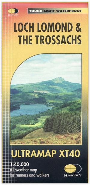
Wandelkaart XT40 - Loch Lomond & The Trossachs - Harvey Maps • 9781851376254
Wandelkaart XT40 - Loch Lomond & The Trossachs - Harvey Maps Productomschrijving: Omvat een groot gebied maar is praktisch en compact, zakformaat. Gedetailleerde kaart voor lopers en wandelaars van het Nationaal Park Loch Lomond & the Trossachs. Bevat de meest zuidelijke Munro van Schotland, Ben Lomond en een inzet kaart voor de toegang tot Ben Vorlich van Loch Earn. Ideaal voor de Great T…

Wandelkaart OL39 Loch Lomond North & Tyndrum - OSI • 9780319469576
Wandelkaart Loch Lomond North & Tyndrum - Schotland Omvat ook: Tyndrum, Crianlarich & Arrochar. Productbeschrijving: Kaart nummer 39 OL in de OS Explorer reeks heeft betrekking op het noordelijke gebied van Loch Lomond, op de steden Arrochar, Tyndrum, Ardlui en Crianlarich. Hoogtepunten van het gebied zijn onder andere: Loch Lomond, Ben Lomond, Cruinn een Bheinn, Ben Donich, Ben Glas, …

Wandelkaart OL45 Ben Lawers & Glen Lyon Highland's - OSI • 9780319469668
Wandelkaart Ben Lawers & Glen Lyon - Highland's Schotland Omvat ook: Loch Tay, Killin & Kenmore Productbeschrijving: Van Loch Lyon naar Loch Tay, deze OL 48 kaart behandelt een paar van de mooiste gebieden van het land. Met een paar Monro's, het Tay Forest Park, deel van Loch Lomond & The Trossachs National Park en een aantal gebieden van de watersport is er iets voor iedereen die geni…
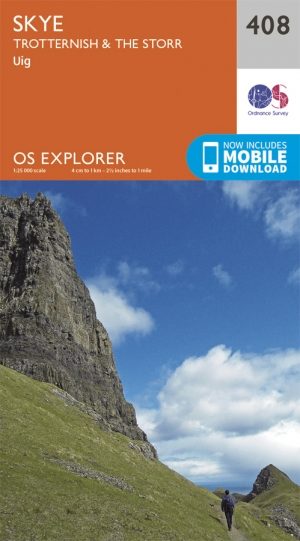
Wandelkaart 408 Isl of Skye- Trotternish & The Storr - OSI • 9780319246436
TWandelkaart Isl of Skye - Trotternish & The Storr - Schotland Omvat ook: Uig Productomschrijving: Kaart nummer 408 in de OS Explorer kaarten reeks is de ideale kaart te gebruiken voor het verkennen van dit noordelijke gebied van de Isle of Skye waaronder Uig, Ross en The Storr. Ross heeft een aantal van de meest spectaculaire landschappen ionder de Britse eilanden die indrukwekkende r…