

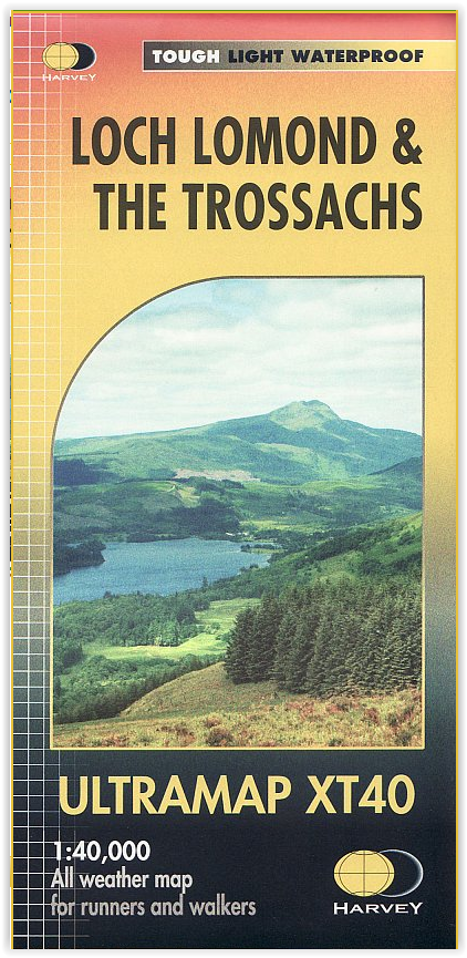
Wandelkaart XT40 - Loch Lomond & The Trossachs - Harvey Maps
Bevat de meest zuidelijke Munro van Schotland- Ben Lomond
Korte omschrijving
Wandelkaarten Highlands, Schotland van HARVEY MAPS. Ideaal voor tochten in Schotland.
Wandelkaart XT40 - Loch Lomond & The Trossachs - Harvey Maps Productomschrijving: Omvat een groot gebied maar is praktisch en compact, zakformaat. Gedetailleerde kaart voor lopers en wandela...

Specificaties
- Uitgever: HARVEY MAPS
- ISBN-13: 9781851376254
- HOOFDCATEGORIEËN: Wandelkaart
- Activiteiten: Wandelen, Hiking & Trekking
- Regio: Highlands, Schotland
- Land: Schotland
- Nationale parken: Trossachs NP, Schotland
- Schaal: 1:40000
- Taal: Engels
- Reeks/Serie: National Trails, UK
Volledige omschrijving
Wandelkaart XT40 - Loch Lomond & The Trossachs - Harvey Maps
Productomschrijving: Omvat een groot gebied maar is praktisch en compact, zakformaat. Gedetailleerde kaart voor lopers en wandelaars van het Nationaal Park Loch Lomond & the Trossachs. Bevat de meest zuidelijke Munro van Schotland, Ben Lomond en een inzet kaart voor de toegang tot Ben Vorlich van Loch Earn. Ideaal voor de Great Trossachs Forest & Queen Elizabeth Forest Park.
Bevat 7 Munros, 7 Corbetts en 6 Grahams.
Heeft de voordelen van zijn grotere broers:
Gebruik zonder plastic hoesje: stevig en 100% waterbestendig
Opent direct aan beide zijden van het blad
Locatie op kaart
Artikelen uit dezelfde regio

Wandelkaart XT25 Torridon Schotland - Harvey maps • 9781851375585
Wandelkaart - Torridon Schotland - Harvey maps Productomschrijving: Torridon is een dorp ongeveer 130 kilometer ten westen van Inverness in de Schotse lieutenancy Ross and Cromarty in het raadsgebied Highland. De kaart spitst zich toe op de weide omgveing van Torridon, niets weerlegt dat een dorp in de highlands niet spectaculair is, om maar het minste te noemen. Torridon ligt aan de kust …
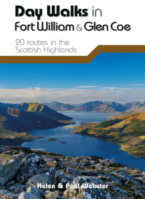
Wandelgids Day Walks in Fort William & Glen Coe - Vertebrate publ • 9781912560646
Day Walks in Fort William & Glen Coe Scotland Productomschrijving: 20 routes in the Scottish Highlands Day Walks in Fort William & Glen Coe features 20 routes between 4.4 and 14.4 miles (7km and 23.2km) in length, spread across the Scottish Highlands. Researched and written by experienced and knowledgeable authors Helen and Paul Webster, founders of the Walkhighlands website, the walk…
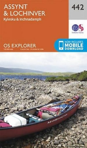
Wandelkaart 442 Assynt & Lochinver Schotland - OSI • 9780319246856
Wandelkaart Assynt & Lochinver - Highlands Schotland Productbeschrijving: Kylesku & Inchnadamp 442 / Assynt & Lochinver, Highlands Schotland - Van Kylesku tot Lochinver en The Minch, is het hele gebied aangewezen als National Scenic Area. Er zijn 2 Munro's is dit gebied - Ben More Assynt is 998m hoog. De OS Explorer kaart voor Assynt & Lochinver is beschikbaar in zowel de standaard pa…

Wandelgids 007 Pathfinder guides Fort William & Glen Coe - OS • 9780319090916
Wandelgids Fort William & Glen Coe - OS Productomschrijving: Fort William and Glen Coe encompass one of the greatest areas of sea and mountain landscape in Scotland, backed by some of the biggest and most demanding peaks. This is Scotland's fjord land, a drowned coastland with long sea arms wending far inland, and steep climbs from sea level to Ben Nevis, the highest summit in Britain. …

Wandelkaart 434 Gairloch & Loch Ewe Schotland - OSI • 9780319246665
Wandelkaart Gairloch & Loch Ewe - Highlands Schotland Productbeschrijving: 434 / Gairloch & Loch Ewe, Highlands, Schotland - Kaart nummer 434 in de OS Explorer kaart reeks is ideaal voor het ontdekken van de hooglanden van het noordwesten van Schotland rond Gairloch. Een populaire toeristische bestemming dankzij de talloze nabijgelegen lochs. Met deze kaart kunt u dit gebied verkennen …