

Landkaart Wegenkaart New South Wales state map - Hema Maps
Sydney- Blue Mountains National Park- Katoomba to Wentworth Fall

Korte omschrijving
Wegenkaart New South Wales state map - Hema Productomschrijving: A state map of New South Wales (NSW) at a scale of 1:1,500,000. Marked on the map are national parks, points of interest, 24...

Specificaties
- Uitgever: Hema Maps
- ISBN-13: 9781925625615
- HOOFDCATEGORIEËN: Wegenkaart - Landkaart
- Activiteiten: Street/Road maps & city plans
- Regio: New South Wales, Australië
- Land: Australië
- Schaal: 1:1500000
- Editie: 14
- Taal: Engels
- Reeks/Serie: State maps, Hema
- De Australische Regio's: New South Wales
Volledige omschrijving
Wegenkaart New South Wales state map - Hema
Productomschrijving: A state map of New South Wales (NSW) at a scale of 1:1,500,000. Marked on the map are national parks, points of interest, 24-hour fuel in addition to camping and rest areas.
On the reverse side are CBD maps of Sydney and Canberra, as well as a Sydney regional map, a Sydney throughroads map, and maps of Blue Mountains National Park and the region between Katoomba and Wentworth Falls. There is a full index included, as well as all national park information.
• Points of interest
• 24-hour fuel
• National parks
• Camping areas
• Rest areas
• Fully indexed

Artikelen uit dezelfde regio

Landkaart Wegenkaart Explorer Map Mid North Coast, NSW - Hema • 9781922668226
Explorer Map Mid North Coast, New South Wales - Hema Productomschrijving: A regional map of the Mid North Coast of New South Wales (1:350,000) that ranges from Northern Newcastle, west to Mudgee, as far as Gunnedah in the North and East to Port Macquarie. Covers: Gunnedah, Tamworth, Mudgee, Port Macquarie, Maitland, Kempsey, Taree, and Forster. Also includes the following National Pa…

Stadsplattegrond 259 Canberra Suburban Streets - UBD Gregory's • 9780731933426
Stadskaart Canberra Suburban Streets - UBD Gregory's Productomschrijving: The latest edition of the Canberra Suburban Streets Map has been fully revised and updated and includes street level mapping, suburbs and a street index of Canberra, with coverage north to Casey and south to Banks. Queanbeyan is also covered on this map. There is also detailed coverage of Capital Hill and Canberr…
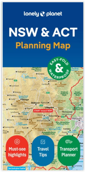
Wegenkaart Planning map New South Wales Australia - Lonely Planet • 9781788688482
Planning map New South Wales Australia - Lonely Planet Productomschrijving: From Lonely Planet: The world's number one travel guide publisher* Durable and waterproof, with a handy slipcase and an easy-fold format, Lonely Planet's New South Wales & the Australian Capital Territory Planning Map helps you explore with ease. Get more from your map and your trip with images and information…
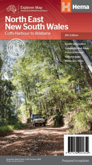
Landkaart Wegenkaart North East New South Wales - Hema Maps • 9321438001652
Wegenkaart North East, New South Wales - Hema Productomschrijving: A regional map of North East New South Wales (1:375,000) that is the perfect companion for touring through North East New South Wales (NSW). The map features information on the major touring routes through the region including the Summerland Way, Bruxner Highway, Waterfall Way and Gwydir Highway, as well as major tourist a…

Landkaart Wegenkaart 284 Wagga Wagga & Riverina NSW - Gregory's • 9780731931729
Wegenkaart Wagga Wagga & Riverina NSW - Gregory's Productomschrijving: The latest edition of the Wagga Wagga and the Riverina touring map has been fully revised and updated and includes a regional touring map covering West Wyalong and Cowra in the north, Culcairn in the south, Yass in the east and Griffith in the west. Also featured are detailed street level maps and indexes for Coota…