

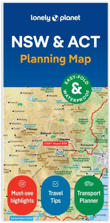
Wegenkaart Planning map New South Wales Australia - Lonely Planet
The Australian Capital
Korte omschrijving
Planning map New South Wales Australia - Lonely Planet Productomschrijving: From Lonely Planet: The world's number one travel guide publisher* Durable and waterproof, with a handy slipcase ...

Specificaties
- Uitgever: Lonely Planet Publications
- ISBN-13: 9781788688482
- HOOFDCATEGORIEËN: Wegenkaart - Landkaart
- Activiteiten: Street/Road maps & city plans
- Regio: New South Wales, Australië
- Land: Australië
- Editie: 2
- Taal: Engels
- Reeks/Serie: Lonely Planet Planning maps
- De Australische Regio's: New South Wales, Southern Australia
Volledige omschrijving
Planning map New South Wales Australia - Lonely Planet
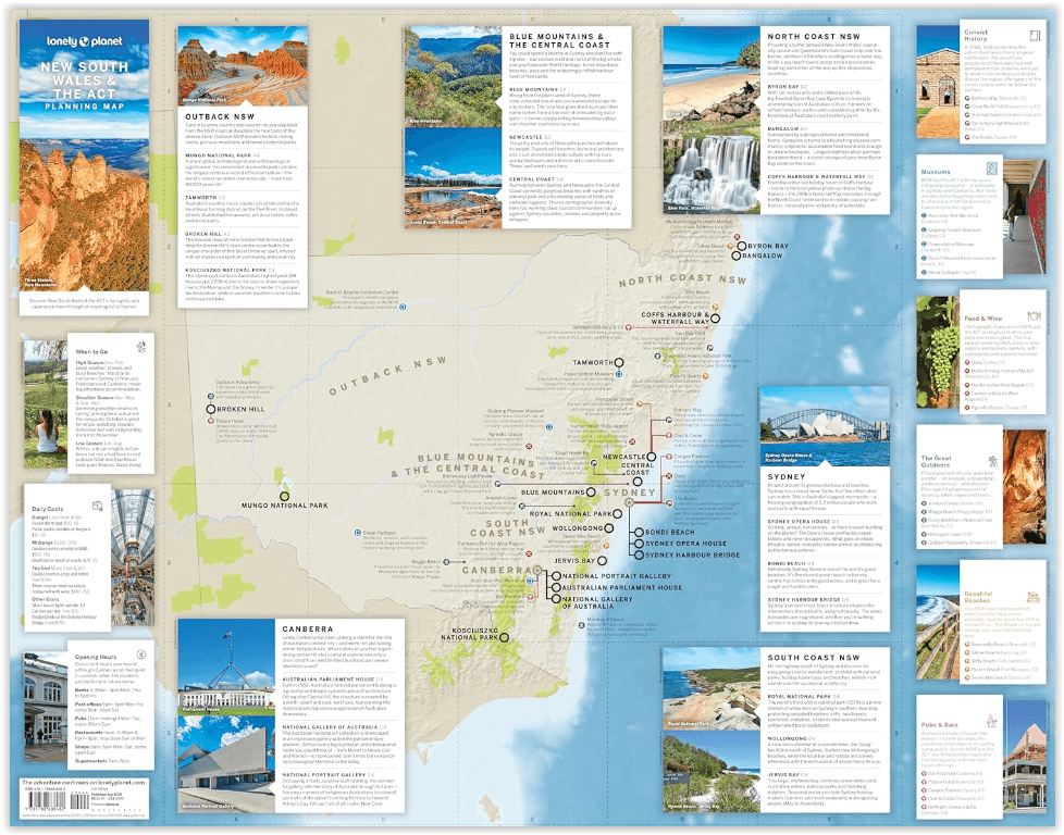
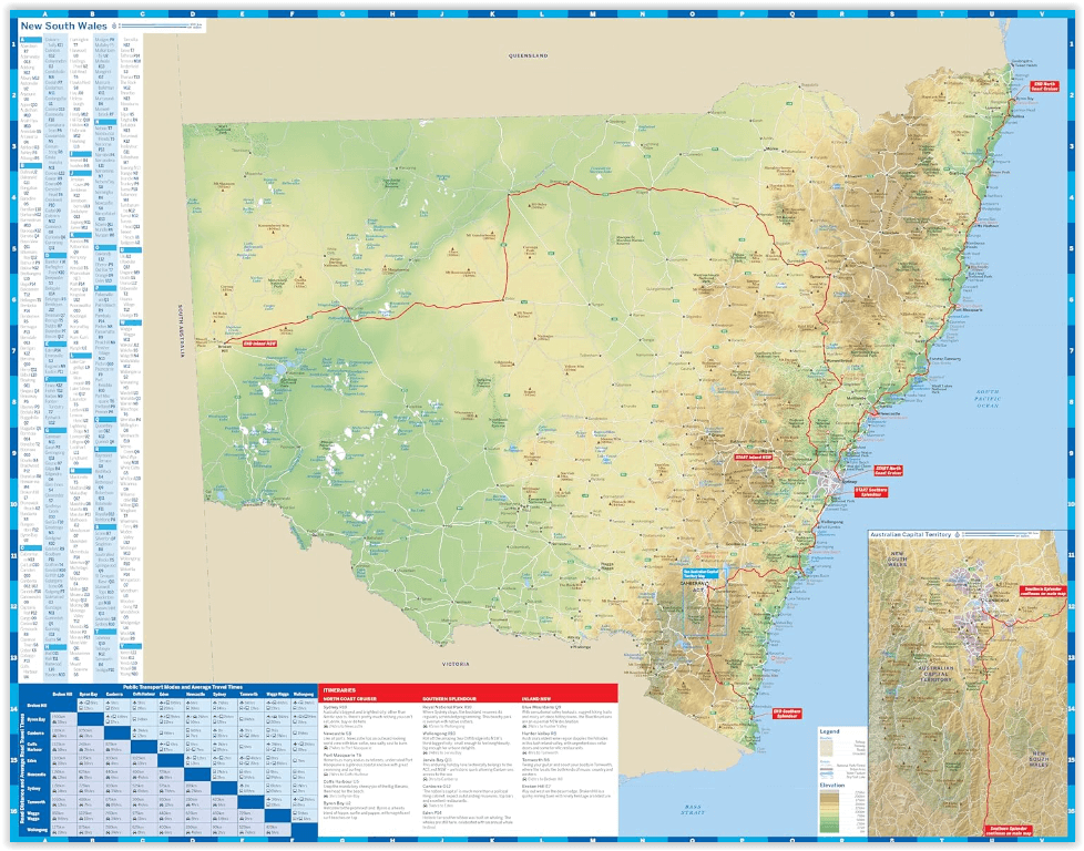
Productomschrijving: From Lonely Planet: The world's number one travel guide publisher* Durable and waterproof, with a handy slipcase and an easy-fold format, Lonely Planet's New South Wales & the Australian Capital Territory Planning Map helps you explore with ease.
Get more from your map and your trip with images and information about top attractions, itinerary suggestions, a transport guide, planning information, themed lists and practical travel tips. With this easy-to-use, full-colour map in your back pocket, you can truly get to the heart of New South Wales and the Australian Capital Territory - so begin your journey now!
- Durable and waterproof - Easy-fold format and convenient size - Handy slipcase Full colour and easy to use Before-you-go info - Beautiful imagery - Tailored itineraries Can't-miss regional highlights - Detailed town index Transport planner - Themed listsCovers: New South Wales, Australian Capital Territory
Artikelen uit dezelfde regio
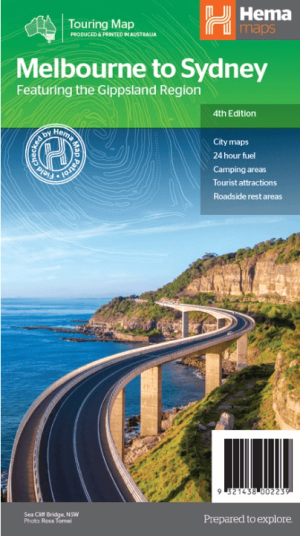
Landkaart Wegenkaart Melbourne tot Sydney - Hema Maps • 9321438002239
Wegenkaart Melbourne tot Sydney - Hema Productomschrijving: A city to city map that stretches from Melbourne to Sydney (1:900,000) that is accompanied by throughroad maps of Sydney and Melbourne. There is comprehensive tourist information for the trip via the Hume and Princes highways, going from Melbourne to Wodonga, Albury to Yass and Yass to Sydney. Incl. The Gippsland Region! …

Landkaart Wegenkaart 284 Wagga Wagga & Riverina NSW - Gregory's • 9780731931729
Wegenkaart Wagga Wagga & Riverina NSW - Gregory's Productomschrijving: The latest edition of the Wagga Wagga and the Riverina touring map has been fully revised and updated and includes a regional touring map covering West Wyalong and Cowra in the north, Culcairn in the south, Yass in the east and Griffith in the west. Also featured are detailed street level maps and indexes for Coota…
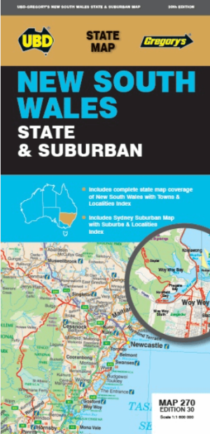
Landkaart Wegenkaart 270 New South Wales State & Suburban - UBD • 9780731933105
Wegenkaart New South Wales State & Suburban - Gregory's Productomschrijving: The latest edition of the New South Wales state and suburban map has been fully revised and updated. It includes state mapping at a scale of 1: 1 600 000 plus an index to towns and localities on one side and on the other side there is Sydney and surrounds suburban coverage north to Gosford, south to Douglas P…

Landkaart Wegenkaart Australië Indigenous Journeys Map - Hema Map • 9781922668936
Wegenkaart Australië Indigenous Journeys Map - Hema Maps Productomschrijving: Australië Indigenous Journeys Map hema 1:5.5M Ontdek de zanglijnen van de oudste levende cultuur ter wereld Al meer dan 65.000 jaar bewandelen Aboriginals en Torres Strait Islanders - de traditionele eigenaars van Australië - het land, smeden handelsroutes, delen kennis en zorgen voor het land. De Indigenou…
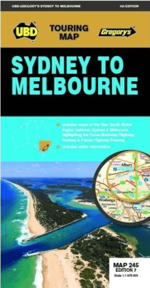
Landkaart Wegenkaart 245 Sydney to Melbourne NP - UBD Gregory's • 9780731933174
Wegenkaart Sydney to Melbourne NP - Gregory's Productomschrijving: The latest edition of the Sydney to Melbourne touring map has been fully revised and updated. It includes strip maps for travelling both the Princes Highway/Freeway and the Hume Motorway/Highway/Freeway with information on the major towns along these routes. There is also state mapping at a scale of 1: 975 000 highligh…