

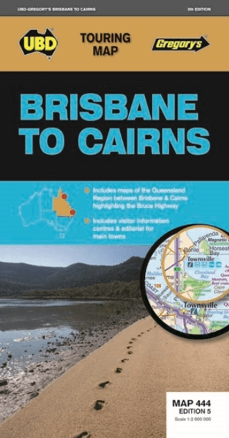
Landkaart Wegenkaart 444 Brisbane to Cairns Region - Gregory's
Bruce Highway from Brisbane to Cairns
Korte omschrijving
Wegenkaart Brisbane to Cairns Region, Northern Queensland Productomschrijving: The 5th Edition of the Brisbane to Cairns touring map will help you with your travels along the Queensland coa...

Specificaties
- Uitgever: UBD Gregory's Universal Publishers
- ISBN-13: 9780731931156
- HOOFDCATEGORIEËN: Wegenkaart - Landkaart
- Activiteiten: Street/Road maps & city plans
- Regio: Queensland, Noord-Oost Australië
- Land: Australië
- Nationale parken: Wooroonooran National Park, Northern Queensland, Cairns region Australia
- Regionale parken: Cairns Region, North Queensland, Australia
- Schaal: 1:2600000
- Editie: 5
- Taal: Engels
Volledige omschrijving
Wegenkaart Brisbane to Cairns Region, Northern Queensland
Productomschrijving: The 5th Edition of the Brisbane to Cairns touring map will help you with your travels along the Queensland coast. It includes a Queensland state map highlighting the Bruce Highway from Brisbane to Cairns, strip maps featuring the best of the Bruce Highway, and visitor and touring information.
Locatie op kaart
Artikelen uit dezelfde regio

Stadskaart plattegrond Brisbane & omgeving - Hema Maps • 9781876413859
Stadskaart Brisbane & omgeving - Hema Maps Productomschrijving: Brisbane CBD, City & Suburbs Map A map of the greater Brisbane region, Bribe Island to Coomera and west to Ipswich, on one side (1:100,000) and a lower scale overview of the city and surrounding regions on the reverse (1:300,000). There are also maps of Brisbane city and the Gold Coast inset, along with official ferry and…

Landkaart Wegenkaart Queensland state map - Hema Maps • 9781922668806
Wegenkaart Queensland state map - Hema Productomschrijving: The thirteenth edition of Hema’s Queensland State Map features Hema’s distinctive and informative maps fully, all of which have been field checked by Hema’s Map Patrol to ensure the best possible accuracy with the latest mapping data. A fully indexed state map of Queensland (QLD) at a scale of 2:500,000. Marked on the mapping…
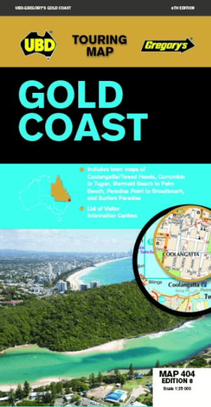
Landkaart Wegenkaart 404 Gold Coast Queensland - UBD Gregory's • 9780731932023
Wegenkaart Gold Coast Queensland - UBD Gregory's Productomschrijving: Gold Coast region map at a scale of 1 : 160 000 covering along the coast from South Stradbroke Island in the north to Bogangar NSW in the south & Beaudesert in the west, Beenleigh in the north & Murwillumbah NSW in the south. - Region map at a scale of 1 : 450 000 covering along the coast from Sandgate in the north t…
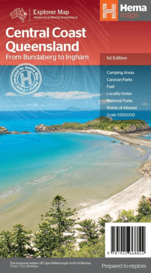
Landkaart Wegenkaart Explorer Map Central Coast Queensland - Hema • 9781922668844
Explorer Map Central Coast Queensland - Hema Productomschrijving: Central Coast Queensland Map (1st edition) - a two-sided regional map of the Central Coast of Queensland (1:550,000) that stretches from just south of Bundaberg up to Ingham in the north and as far west as Clermont. This two-sided regional map showcases the Central Coast of Queensland (1:550,000), extending from just so…


Landkaart Wegenkaart 470 Queensland State & Suburban - Gregory's • 9780731933181
Wegenkaart Queensland State & Suburban - Gregory's Productomschrijving: The latest edition of the popular Queensland State and Suburban Map has been fully revised and updated and is an essential tool for those travelling around Queensland and the Brisbane area. It includes: - State map of Queensland plus an index to the towns and localities featured. - Suburban map coverage of …