

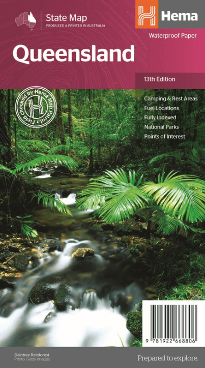
Landkaart Wegenkaart Queensland state map - Hema Maps
Cape York & Outback Queensland
Korte omschrijving
Wegenkaart Queensland state map - Hema Productomschrijving: The thirteenth edition of Hema’s Queensland State Map features Hema’s distinctive and informative maps fully, all of which have b...

Specificaties
- Uitgever: Hema Maps
- ISBN-13: 9781922668806
- HOOFDCATEGORIEËN: Wegenkaart - Landkaart
- Activiteiten: Street/Road maps & city plans
- Regio: Queensland, Noord-Oost Australië
- Land: Australië
- Schaal: 1:2500000
- Editie: 13
- Taal: Engels
- Reeks/Serie: State maps, Hema
- De Australische Regio's: Queensland
Volledige omschrijving
Wegenkaart Queensland state map - Hema
Productomschrijving: The thirteenth edition of Hema’s Queensland State Map features Hema’s distinctive and informative maps fully, all of which have been field checked by Hema’s Map Patrol to ensure the best possible accuracy with the latest mapping data.
A fully indexed state map of Queensland (QLD) at a scale of 2:500,000. Marked on the mapping are national parks, fuel locations as well as camping and rest areas.
The reverse side consists of:
- A summary of the key things to see and do in Queensland
- A table listing of National Parks and Reserves with key features and facilities (such as Camping and Caravan sites, BBQ, toilets and showers)
- Queensland is located off the northeast corner of mainland Australia. It is Australia's 'sunshine state' for its tropical and sub-tropical climates. Queensland is a tourism mecca with many attractions including, the Great Barrier Reef, Gold Coast, Sunshine Coast,
Cape York and Outback Queensland.
Key Features
- Fully updated and indexed primary Map of Queensland at a scale of 2:500,000 and showing national parks, fuel locations as well as campsites
- Complete list of Queensland Visitor Information Centres
- Table showing Queensland’s National Parks and Reserves with key features and facilities
- Summary of the key things to see in Queensland broken up by region.

Artikelen uit dezelfde regio
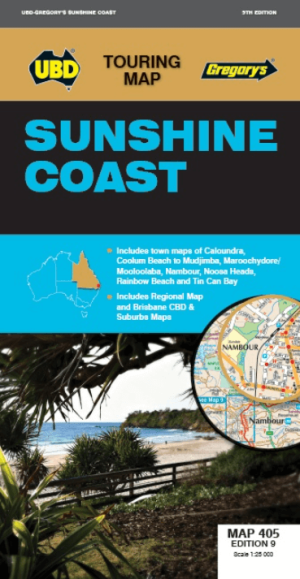
Landkaart Wegenkaart 405 Sunshine Coast Queensland- UBD Gregory's • 9780731932825
Wegenkaart Sunshine Coast Queensland- UBD Gregory's Productomschrijving: Sunshine Coast regional map at a scale of 1 : 171 950 & index covering along the coast from Inskip Peninsula in the north to Caloundra & Toorbul in the south, Wonga Lower in the west and Noosa Heads & Caloundra in the east. - Street level mapping at a scale of 1 : 25 000 with coverage for Caloundra & surrounding …

Landkaart Wegenkaart Frasereiland (K'gari) Queensland Australia • 9781922668783
Landkaart Frasereiland (K'gari) Queensland Australia - Hema Productomschrijving: Deze omvat het grootste zandeiland ter wereld! Fraser Island (K'gari) is one of the most diverse 4WD destinations in Australia, with beaches, rainforests, perched lakes, sand blows, and more fitting into the world’s largest sand island. The mapping is highly detailed (1:130,000), with 4WD tracks field che…

Landkaart Wegenkaart Australië Indigenous Journeys Map - Hema Map • 9781922668936
Wegenkaart Australië Indigenous Journeys Map - Hema Maps Productomschrijving: Australië Indigenous Journeys Map hema 1:5.5M Ontdek de zanglijnen van de oudste levende cultuur ter wereld Al meer dan 65.000 jaar bewandelen Aboriginals en Torres Strait Islanders - de traditionele eigenaars van Australië - het land, smeden handelsroutes, delen kennis en zorgen voor het land. De Indigenou…

Landkaart Wegenkaart Explorer Map Noord Queensland - Hema Maps • 9321438002116
Explorer Map Noord Queensland - Hema Productomschrijving: This completely new version of North Queensland (QLD) is the ideal map for discovering the many destinations between Mackay and The Tip. The mapping is at a touring scale of 1:750,000, with terrain shading and touring symbols giving an accurate and informative overview of the region. There is a detailed inset map for Mackay and…

Stadskaart plattegrond Cairns Queensland & omgeving - Hema Maps • 9781865008912
Stadskaart Cairns & omgeving - Hema Productomschrijving: Cairns CBD, City & Suburbs Map. A map that offers comprehensive and detailed coverage of Cairns and the surrounding regions at a detailed scale of 1:22,500. There are maps of the northern beaches and Cairns on either side, with inset maps of Gordonvale, Edmonton, the Cairns region and the Cairns CBD. Cairns is one of Queensla…