

Wegenatlas Cape York Atlas & Guide - Hema Maps
From the Cairns region to Cooktown- Rinyirru- Lakefield NP


Korte omschrijving
Wegenatlas Cape York Atlas & Guide - Hema Productomschrijving: Hema Maps’ Cape York Atlas & Guide helps you make the most of your visit to this remarkable part of Australia. With detail...

Specificaties
- Uitgever: Hema Maps
- ISBN-13: 9781876413439
- HOOFDCATEGORIEËN: Wegenatlas
- Activiteiten: Street/Road maps & city plans
- Regio: Queensland, Noord-Oost Australië
- Land: Australië
- Editie: 5
- Taal: Engels
- Reeks/Serie: Wegenatlassen
Volledige omschrijving
Wegenatlas Cape York Atlas & Guide - Hema
Productomschrijving: Hema Maps’ Cape York Atlas & Guide helps you make the most of your visit to this remarkable part of Australia.
With detailed coverage of The Tip, the coast from the Cairns region to Cooktown, Rinyirru (Lakefield) National Park, the Peninsula Developmental Road, Old Telegraph Track, Torres Strait and the Savannah Way, it ensures you won’t miss the ‘must-see’ attractions, but it also describes some of the lesser known areas favoured by the experts. Whether you just want to make it to The Tip or are looking for a serious 4WD adventure, this informative book is an indispensable companion.
The book features 15 4WD trips, explored and revised by travel journalist Ian Glover, with photography by Matt Williams. Each trip has a detailed map, plus all the information you need to plan the trip including trip grading, longest distance without fuel, permits and contact details.
This brand new edition of Hema’s best-selling outdoor guidebook for discovering Cape York now features 22 atlas pages in a stunning new cartographic style and also incorporates content from the popular Cape York Travel & Adventure Guide by Ron and Viv Moon as well.
Key features
- Featuring the top 15 4WD trips, including The Old Telegraph Track
- Detailed inset maps for every track
- Best campsites
- Trip planning tips
- Contains a detailed Road Atlas for Cape York, including detailed mapping for The Tip
- Maps show fuel, camping areas and rest areas
- New cartographic style with latest mapping, points of interest and facilities
- Mapping field-checked by the Hema Map Patrol.

Artikelen uit dezelfde regio

Stadskaart plattegrond Cairns Queensland & omgeving - Hema Maps • 9781865008912
Stadskaart Cairns & omgeving - Hema Productomschrijving: Cairns CBD, City & Suburbs Map. A map that offers comprehensive and detailed coverage of Cairns and the surrounding regions at a detailed scale of 1:22,500. There are maps of the northern beaches and Cairns on either side, with inset maps of Gordonvale, Edmonton, the Cairns region and the Cairns CBD. Cairns is one of Queensla…
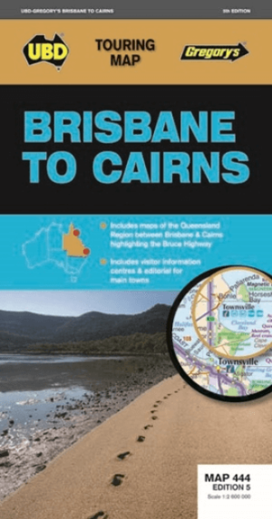
Landkaart Wegenkaart 444 Brisbane to Cairns Region - Gregory's • 9780731931156
Wegenkaart Brisbane to Cairns Region, Northern Queensland Productomschrijving: The 5th Edition of the Brisbane to Cairns touring map will help you with your travels along the Queensland coast. It includes a Queensland state map highlighting the Bruce Highway from Brisbane to Cairns, strip maps featuring the best of the Bruce Highway, and visitor and touring information.
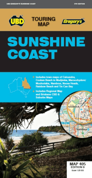
Landkaart Wegenkaart 405 Sunshine Coast Queensland- UBD Gregory's • 9780731932825
Wegenkaart Sunshine Coast Queensland- UBD Gregory's Productomschrijving: Sunshine Coast regional map at a scale of 1 : 171 950 & index covering along the coast from Inskip Peninsula in the north to Caloundra & Toorbul in the south, Wonga Lower in the west and Noosa Heads & Caloundra in the east. - Street level mapping at a scale of 1 : 25 000 with coverage for Caloundra & surrounding …

Wegenatlas K'gari (Fraser Island) & the Brisbane Islands - Hema • 9781922668820
K'gari (Fraser Island) & the Brisbane Islands - Hema Productomschrijving: K'gari (Fraser Island) Atlas & Guide (incorporating Moreton, North & South Stradbroke and Bribie Islands) - your ultimate companion for immersing yourself in the captivating wonders of K'gari, as well as the stunning neighboring islands of Moreton, North Stradbroke, South Stradbroke, and Bribie. Introducing the …

Landkaart Wegenkaart Great Desert Tracks Simpson Desert - Hema • 9781922668073
Wegenkaart Great Desert Tracks Simpson Desert - Hema Productomschrijving: Great Desert Tracks Simpson Desert (9th edition) - discover the Simpson Desert with detailed mapping, relevant points of interest and essential touring information for the journey. Hema's Great Desert Tracks maps are essential for anyone travelling in the Australian outback. The mapping features roads and 4WD tr…