

Landkaart Wegenkaart Explorer Map Central Coast Queensland - Hema
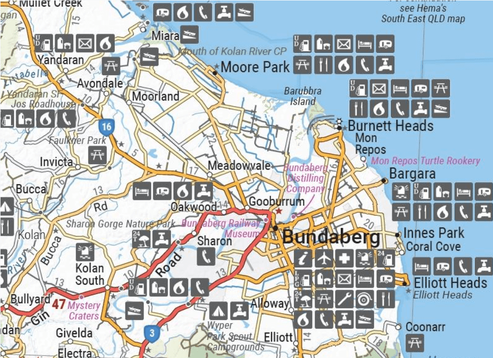
From Bundaberg to Ingham Central Coast Queensland

Korte omschrijving
Explorer Map Central Coast Queensland - Hema Productomschrijving: Central Coast Queensland Map (1st edition) - a two-sided regional map of the Central Coast of Queensland (1:550,000) that s...

Specificaties
- Uitgever: Hema Maps
- ISBN-13: 9781922668844
- HOOFDCATEGORIEËN: Wegenkaart - Landkaart
- Activiteiten: Street/Road maps & city plans
- Regio: Queensland, Noord-Oost Australië
- Land: Australië
- Schaal: 1:550000
- Editie: 1
- Taal: Engels
- Reeks/Serie: Explorer Map reeks, Hema maps
- De Australische Regio's: Queensland
Volledige omschrijving
Explorer Map Central Coast Queensland - Hema
Productomschrijving: Central Coast Queensland Map (1st edition) - a two-sided regional map of the Central Coast of Queensland (1:550,000) that stretches from just south of Bundaberg up to Ingham in the north and as far west as Clermont.
This two-sided regional map showcases the Central Coast of Queensland (1:550,000), extending from just south of Bundaberg up to Ingham in the north and reaching as far west as Clermont. The front side of the map spans from Mackay in the south to Ingham in the north, encompassing Bowen, Ayr, Townsville, and Ingham along the coastline, extending well past Charters Towers to the west.
On the reverse side, the map covers the area from Bundaberg in the south to Camila in the north, featuring locations such as Gladstone, Yeppoon, Marlborough along the coast, and Emerald in the west.
Key Features:
- Camping Areas
- Caravan Parks
- Fuel
- Locality Index
- National Parks
- Points of interest
Artikelen uit dezelfde regio

Wegenatlas K'gari (Fraser Island) & the Brisbane Islands - Hema • 9781922668820
K'gari (Fraser Island) & the Brisbane Islands - Hema Productomschrijving: K'gari (Fraser Island) Atlas & Guide (incorporating Moreton, North & South Stradbroke and Bribie Islands) - your ultimate companion for immersing yourself in the captivating wonders of K'gari, as well as the stunning neighboring islands of Moreton, North Stradbroke, South Stradbroke, and Bribie. Introducing the …
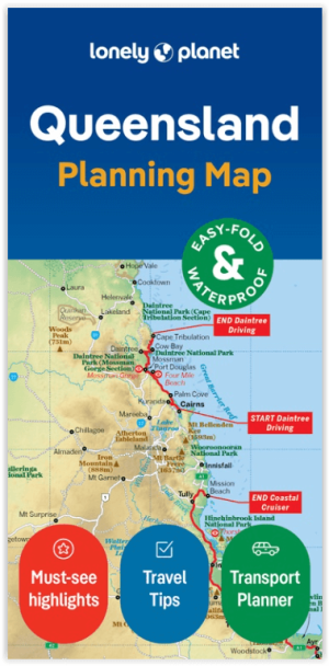
Wegenkaart Planning map Queensland Australia - Lonely Planet • 9781788688772
Planning mep Queensland Australia - Lonely Planet Productomschrijving: Lonely Planet: The world's number one travel guide publisher* Durable and waterproof, with a handy slipcase and an easy-fold format, Lonely Planet's Queensland Planning Map helps you explore with ease. Get more from your map and your trip with images and information about top attractions, itinerary suggestions, a transp…

Landkaart Wegenkaart 419 Queensland State & Cities - Gregory's • 9780731933419
Wegenkaart Queensland State & Cities - UBD Gregory's Productomschrijving: The latest edition of the Queensland State and Cities map has been fully revised and updated and includes state mapping and an index to towns and localities on one side and detailed street level mapping for Brisbane City, Cairns, Gladstone, Longreach, Mackay, Maroochydore, Mount Isa, Surfers Paradise, Toowoomba and T…
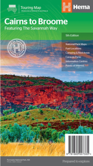
Landkaart Wegenkaart Savannah Way Cairns to Broome - Hema Maps • 9781865007335
Wegenkaart Savannah Way, Cairns to Broome - Hema Productomschrijving: A touring map for the trip along the Savannah Way between Cairns and Broome at a scale of 1:2,200,000. The maps show 24-hour fuel, outback fuel and LPG as well as caravan parks, camping areas and rest areas. Popular national parks along the route are featured with detailed inset maps of Judbarra/Gregory, Purnululu, …

Stadsplattegrond 460 Brisbane City Pocket map - UBD Gregory's • 9780731932214
Stadskaart Brisbane City Pocket map - UBD Gregory's Productomschrijving: The latest edition of the Brisbane City Pocket map has been fully revised and updated and includes the following: City map in handy pocket size. - 1:5000 detailed coverage of the Brisbane CBD, Petrie Terrace, Spring Hill and South Brisbane including building and hotel names, theatres, shopping centres, parking …