

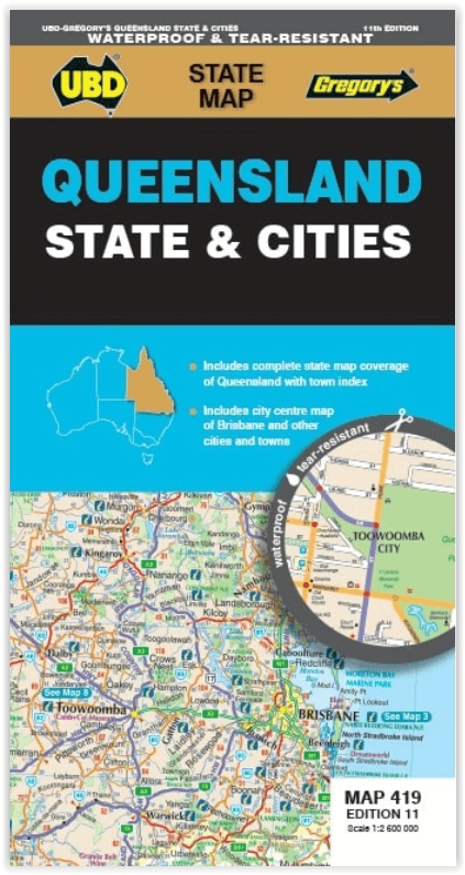
Landkaart Wegenkaart 419 Queensland State & Cities - Gregory's
Brisbane City- Cairns- Gladstone- Longreach- Mackay- Maroochydore
Korte omschrijving
Wegenkaart Queensland State & Cities - UBD Gregory's Productomschrijving: The latest edition of the Queensland State and Cities map has been fully revised and updated and includes state mapp...

Specificaties
- Uitgever: UBD Gregory's Universal Publishers
- ISBN-13: 9780731933419
- HOOFDCATEGORIEËN: Wegenkaart - Landkaart
- Activiteiten: Street/Road maps & city plans
- Regio: Queensland, Noord-Oost Australië
- Land: Australië
- Schaal: 1:2600000
- Editie: 11
- Taal: Engels
- Reeks/Serie: Pocket Maps
- De Australische Regio's: Queensland
Volledige omschrijving
Wegenkaart Queensland State & Cities - UBD Gregory's
Productomschrijving: The latest edition of the Queensland State and Cities map has been fully revised and updated and includes state mapping and an index to towns and localities on one side and detailed street level mapping for Brisbane City, Cairns, Gladstone, Longreach, Mackay, Maroochydore, Mount Isa, Surfers Paradise, Toowoomba and Townsville.
- There is also information on Touring Queensland.
- With the state and towns mapping that is featured this handy fold out map is an essential tool when touring the state of Queensland.
Artikelen uit dezelfde regio

Landkaart Wegenkaart Australië Indigenous Journeys Map - Hema Map • 9781922668936
Wegenkaart Australië Indigenous Journeys Map - Hema Maps Productomschrijving: Australië Indigenous Journeys Map hema 1:5.5M Ontdek de zanglijnen van de oudste levende cultuur ter wereld Al meer dan 65.000 jaar bewandelen Aboriginals en Torres Strait Islanders - de traditionele eigenaars van Australië - het land, smeden handelsroutes, delen kennis en zorgen voor het land. De Indigenou…

Stadsplattegrond 460 Brisbane City Pocket map - UBD Gregory's • 9780731932214
Stadskaart Brisbane City Pocket map - UBD Gregory's Productomschrijving: The latest edition of the Brisbane City Pocket map has been fully revised and updated and includes the following: City map in handy pocket size. - 1:5000 detailed coverage of the Brisbane CBD, Petrie Terrace, Spring Hill and South Brisbane including building and hotel names, theatres, shopping centres, parking …
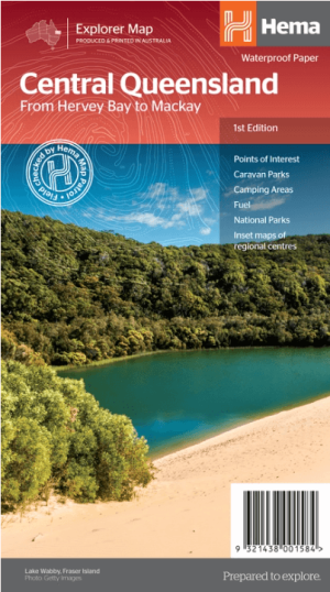
Landkaart Wegenkaart Explorer Map Centraal Queensland - Hema Maps • 9321438001584
Explorer Map Centraal Queensland - Hema Productomschrijving: A regional map of central Queensland (1:1,000,000) that stretches inland past Jericho and from Maryborough in the south to Mackay in the north. On the opposite side is tourist information on the region, as well as inset maps of Mackay, the Capricorn Coast, Gladstone, Bundaberg, Rockhampton, and the Gemfields. Accompanying e…

Landkaart Wegenkaart Cape York NP Queensland Australia - Hema • 9781922668790
Cape York NP northern Queensland Australia - Hema Productomschrijving: Featuring the Old Telegraph Track! This brand new edition of Hema’s best-selling Cape York map, on durable waterproof paper, features our latest mapping and points of interest in a new cartographic style. It now features new inset maps for the CREB Track and Rinyirru (Lakefield) National Park. It combines Hema’s en…

Landkaart Wegenkaart Explorer Map Zuidoost Queensland - Hema Maps • 9321438001638
Explorer Map Zuidoost Queensland - Hema Productomschrijving: A regional map of South East Queensland (1:500,000) that stretches from the New South Wales-Queensland border to past Bundaberg, with maps of the Brisbane Region (1:300,000), Brisbane City and the Gold Coast on the opposite side. KEY FEATURES - Inset Maps (Brisbane City and Gold Coast) - Camping & rest areas - Caravan …