

Landkaart Wegenkaart 3113 Canada West - Nat Geo
Banff National Park - Yukon Territories - Jasper National Park

Korte omschrijving
Wegenkaart West Canada - Nat Geo Productomschrijving: National Geographic's Canada West Adventure Map provides global travelers with the perfect combination of detail and perspective in a h...

Specificaties
- Uitgever: National Geographic
- ISBN-13: 9781566956352
- HOOFDCATEGORIEËN: Wegenkaart - Landkaart
- Activiteiten: Street/Road maps & city plans
- Auteur: National Geographic
- Regio: Alberta, Canada, British Colombia, Canada, West-Canada
- Land: Canada
- Waterafstotende kaart: Nat Geo waterproof series
- TOPO's & Stafkaarten: Topografisch wandelen
- Schaal: 1:2100000
- Taal: Engels
- Reeks/Serie: NAT GEO Adventure travel maps
Volledige omschrijving
Wegenkaart West Canada - Nat Geo
Productomschrijving: National Geographic's Canada West Adventure Map provides global travelers with the perfect combination of detail and perspective in a highly functional travel tool. Cities and towns are clearly indicated and easy to find in the user-friendly index. A road network complete with distances and designations for roads, motorways, and expressways will help you find the route that's right for you. Secondary routes are also marked for those seeking to explore off the beaten path in and around Banff National Park, the Yukon Territories, Jasper National Park, Vancouver Island, and the rainforests of British Columbia. Hundreds of points of interest and diverse and unique destinations are highlighted including national parks, nature reserves, World Heritage sites, archeological sites, ski areas, hot springs, beaches, museums, and more.
The north side of the print map shows Victoria Island, Nanavut, the Great Slave Lake, the Northwest Territories, Yukon Plateau, Great Bear Lake and Prince Albert Sound. The reverse side showcases the topographic features of Vancouver and Queen Charlotte Islands, the Coast Mountains, British Columbia, the Rocky Mountains, and Alberta. Search for whales off the coast of Vancouver, ski the trails of Whistler, paddle the epic South Nahanni River as it tumbles through the jagged Mackenzie Mountains and the Nahanni National Park Reserve, a World Heritage-listed site. Whatever your adventure, this map is the perfect companion to a guidebook, yet far easier to pack.
Every Adventure Map is printed on durable synthetic paper, making them waterproof, tear-resistant and tough — capable of withstanding the rigors of international travel.
Key Features:
- Waterproof and tear-resistant
- Detailed interpretive information and local travel tips
- Detailed topography complete with activity symbols, ideal for exploring the country
- City overview maps
- Hundreds of points of interest, including the location of World Heritage sites, national parks and nature reserves, aboriginal settlements.
- Thousands of place names
- Important travel aids including airports, lighthouses, ferry routes and rail lines
- Developed in cooperation with local agencies
- Updated regularly to ensure accuracy
Gekoppelde artikelen
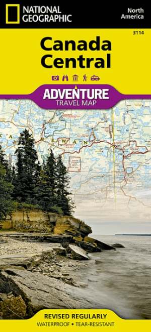
Landkaart Wegenkaart 3114 Canada Centraal - Nat Geo • 9781566956369
standaard versieWegenkaart Canada Centraal - Nat Geo Productomschrijving: National Geographic's Canada Central Adventure Map provides global travelers with the perfect combination of detail and perspective in a highly functional travel tool. The map includes the locations of cities and towns with a user-friendly index, a clearly marked road network complete with distances and designations for roads/highw…
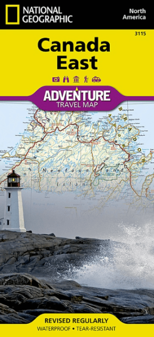
Landkaart Wegenkaart 3115 Canada Oost - Nat Geo • 9781566956376
standaard versieWegenkaart Oost Canada - Nat Geo Productomschrijving: Explore the rich cultural history and many recreation activities available in Canada's eastern territories with National Geographic's Canada East Adventure Map. Designed to meet the needs of adventure travelers with its detailed, accurate information, this map includes the location of cities and towns with a user-friendly index and a c…
Artikelen uit dezelfde regio
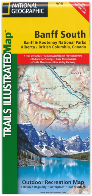
Wandelkaart 900 Banff South & Banff and Kootenay NP - Nat Geo • 9781566956581
Wandelkaart 900 - Banff South & Banff and Kootenay NP - Natgeo Productomschrijving: Deze omvat een overzicht van alle recreatieve wandelpaden, wegen en vele andere informatie die u zou kunnen nodig hebben in deze 2 schitterende nationale parken, die letterlijk aan elkaar werden genaaid. De wildernis van Banff en Kootenay, zijn geen zondag wandelplaatsje, je bereidt uw tocht altijd goed voo…

Stadskaart plattegrond Vancouver Canada - Borch • 9783866093294
Wandelkaart Vancouver Canada - Borch Productomschrijving: Our soft-laminated folded map of Vancouver in the 9th edition shows: Vancouver Downtown 1:15 000, Greater Vancouver 1:125 000, Vancouver - Seattle Area 1:1 800 000, Granville Island 1:5 500, Victoria 1:30 000, Public Transport Vancouver, Canada administrative & time zones, Top 30 Sights. Borch Maps are easy to fold, durable and…
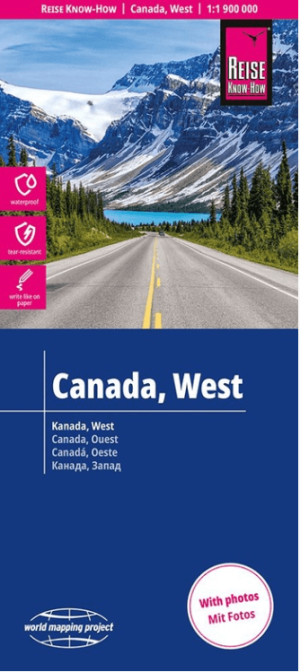
Landkaart Wegenkaart Canada West - Reise Know-How Verlag • 9783831775194
Wegenkaart Canada West - Reise Know-How Verlag Productomschrijving: De Reise Know-How wegenkaart van Canada West is een betrouwbare, gedetailleerde en duurzame landkaart voor wie Canada West zelfstandig wil verkennen. Deze hoogwaardige reiskaart is ideaal voor gebruik tijdens een rondreis met de auto, camper, motor of fiets en biedt alle informatie die je nodig hebt voor een zorgeloze rei…

Wandelkaart Icefields Parkway Alberta Canada - Gem Trek Publ. • 9781990161186
Wandelkaart Icefields Parkway - Gem Trek Publ. Productomschrijving: In eerste instantie is wat u tegenkomt langs de weg tussen Banff & Jasper National Parks, de Gletcher zelf, zicht baar vanop de weg. Tijdens de seizoensmaanden kunt u als toerist meegaan met een bus met gigantische wielen, die u dan tot bijna boven op de gletcher brengt. Een hele speciale belevenis, Bibliotrek deed het zel…
Wandelkaart 903 Jasper NP North - Alberta - Nat Geo • 9781566956611
TOPO Wandelkaart 903 - Jasper NP North - Alberta - National Geographic Productomschrijving: Het Jasper National Park is een nationaal park in Canada, gelegen in het westen van Alberta, en onderdeel van de Rocky Mountains. Het beslaat een gebied van 10.878 km² en omvat onder meer het plaatsje Jasper en Maligne Lake. Het Banff National Park ligt ten zuiden van dit park. Jasper staat bekend o…