

Wandelkaart XT40 Wales Coast Path 3 - Cardigan to LIanelli
DEEL 3 - From Cardigan to LIanelli

Korte omschrijving
Wandelkaarten Pembrokeshire, Wales van HARVEY MAPS. Ideaal voor tochten in Wales.
Wandelkaart Wales Coast Path 3 - Cardigan to LIanelli Productomschrijving: Het officiële pad is 300 kilometer, oftewel 186 mijl, en loopt van Amroth naar St. Dogmaels. Het Pembrokeshire Coas...

Specificaties
- Uitgever: HARVEY MAPS
- ISBN-13: 9781851376629
- HOOFDCATEGORIEËN: Wandelkaart
- Activiteiten: Wandelen, Hiking & Trekking
- Regio: Pembrokeshire, Wales
- Land: Wales
- Lange afstand wandelroutes: Pembrokeshire Coast Path National Trail (299 km)
- Schaal: 1:40000
- Taal: Engels
- Reeks/Serie: National Trails, UK, XT Superwalker, Harvey
- National Trails UK, England & Wales: Coast to Coast Walk, England
Volledige omschrijving
Wandelkaart Wales Coast Path 3 - Cardigan to LIanelli
Productomschrijving: Het officiële pad is 300 kilometer, oftewel 186 mijl, en loopt van Amroth naar St. Dogmaels. Het Pembrokeshire Coast Path is een onderdeel van het Wales Coast Path, dat 1400 kilometer, oftewel 870 mijl, lang is en de gehele kust van Wales passeert. Het Pembrokeshire Coast Path passeert 58 stranden en 14 havens.
Engelse omschrijving: The Wales Coast Path is a 1400km (870mile) long distance path along the entire coastline of Wales, from Chester in the north to Chepstow in the south. This map covers part 2 - From Caernarfon to Cardigan.
- The entire route on 4 maps - this is map 2
- Map 2 shows Caernarfon to Cardigan, 371km (231miles) in length, including the Llyn Peninsula Area of Outstanding Natural Beauty
- A good two weeks’ walking on one map
- Information on accomodation and services
- Lightweight, detailed, clear and easy to read
- Printed on tough 100% waterproof, tearproof paper
- GPS compatible
Maps 2 and 3 OUT NOW. Maps 1 and 4 coming MAY 2023.
Experience the satisfaction of fine navigation with the Trail Map XT40, printed on 100% waterproof and almost indestructible paper, whatever the weather!

Overzichtskaarten

Harvey Maps - National Trails
Harvey Maps - National Trails

Producten op de overzichtskaart
Klik op een product om naar de detailpagina te gaan.
- Wandelkaart Cape Wrath Trail North - Schotland - Harvey maps
- Wandelkaart Cape Wrath Durness Schotland - Harvey maps
- Wandelkaart Cleveland Way - Across North York NP - Harvey maps
- Wandelkaart Cotswold Way - Harvey maps
- Wandelkaart Cumbria Way - Harvey maps
- Wandelkaart The Dales Way Yorkshire - Harvey maps
- Wandelkaart East Highland Way - Schotland - Harvey maps
- Wandelkaart Glyndwr's Way Wales - Harvey maps
- Wandelkaart Great Glen Way - Schotland - Harvey maps
- Wandelkaart XT40 Pennine Way Zuid - Harvey Maps
- Wandelkaart XT40 South West Coast Path 1 - Harvey maps
- Wandelkaart XT40 Anglesey Coastal Path N. Wales - Harvey Maps
- Wandelkaart XT40 Offa's Dyke Path - Harvey Maps
- Wandelkaart XT40 Pennine Way Noord - Harvey Maps
- Wandelkaart XT40 ultra Crieff & Comrie & Dunblane - Harvey maps
- Wandelkaart XT40 John o'Groats Trail - Harvey Maps
- Wandelkaart XT40 Wales Coast Path 2 - Caernarfon to Cardigan
- Wandelkaart XT40 Wales Coast Path 3 - Cardigan to LIanelli
- Wandelkaart Rob Roy Way National trail - Harvey maps
- Wandelkaart South Downs Way - Harvey maps
- Wandelkaart Loch Ness Trail South - Harvey maps
- Wandelkaart Speyside Way - Harvey maps
- Wandelkaart St-Oswald's Way - Harvey maps
- Wandelkaart Thames Path - Harvey maps
- Wandelkaart Fietskaart Affric Kintail Way - Harvey maps
- Wandelkaart Hadrian's Wall Path - Harvey maps
- Wandelkaart North Downs Way - Harvey maps
- Wandelkaart Pennine Bridleway - Harvey Maps
- Wandelkaart Ridgeway National Trail SE England - Harvey maps
- Wandelkaart Skye Trail - Isle of Skye Schotland - Harvey maps
- Wandelkaart West Highland Way - Harvey maps
- Wandelkaart Beacons Way XT40 - Harvey Maps
- Wandelkaart Cumbrian Way North XT40 - Harvey Maps
- Wandelkaart Lake District South-East XT40 - Harvey Maps
Artikelen uit dezelfde regio
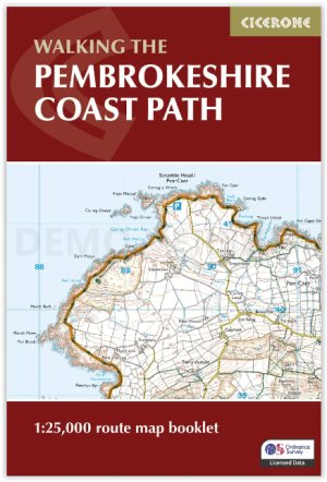
Map Nooklet Pembrokeshire Coast Path - Cicerone • 9781786312099
Pembrokeshire Coast Path - Cicerone Productomschrijving: OPGELET: Dit art. zit standard inbegrepen in de wandelgids van de route zelf. Pembrokeshire Coast Path National Trail, van 291 km langs de kust van de regio Pembrokeshire NP wales. Deze omvat de kaartjes boekje voor de route. Engelse omschrijving: Map of the 182 mile (291km) Pembrokeshire Coast Path National Trail, between …
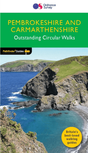
Wandelgids 034 Pathfinder guides Pembrokeshire Wales - OS • 9780319090374
Wandelgids Pembrokeshire Wales - OS Productomschrijving: This Pathfinder walks guidebook for Pembrokeshire and Carmarthenshire book contains 28 carefully planned walks created by seasoned walkers. The routes range from two to nine miles, and allow you to see some of the best that the area has to offer. The Pembrokeshire and Carmarthenshire area has some of the most spectacular coastal …
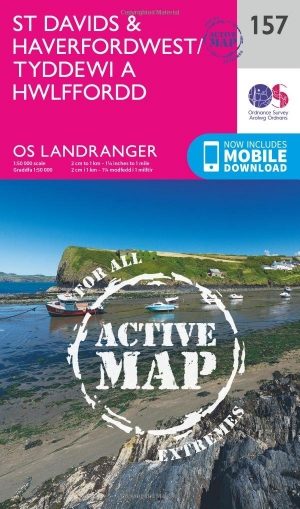
Wandelkaart 157 St-David's & Haverfordwest - Wales - OSI • 9780319474808
Wandelkaart St Davids & Haverfordwest - Wales OSI Productbeschrijving: De eigenschappen van het Pembrokeshire Coast Path sterkt zich op deze OS Landranger kaart 157 door langs de iconische kustlijn rond de landtong en St. Brides Bay, de traditionele Welsh steden van Pembroke, Milford Haven, Haverfordwest, St. David's en Goodwick. Hoogtepunten van St. David's Cathedral en de schitterende ba…
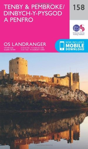
Wandelkaart 158 Tenby & Pembroke - Wales - OSI • 9780319262566
Wandelkaart Tenby & Pembroke in Wales Productbeschrijving: Deze OS Landranger kaart 158 van Tenby & Pembroke omvat ook Kilgetty, Freystrop, Yerbeston, Milford Haven, Wolfsdale, Llandissilio, het Nationaal Park van Pembrokeshire Coast en de Pembrokeshire Coast Path. De OS Landranger kaarten reeks heeft betrekking op Groot-Brittannië met 204 gedetailleerde kaarten, perfect voor dagtochten e…

Wandelgids Park Rangers Favourite Walks Pembrokeshire - Collins • 9780008462734
Park Rangers Favourite Walks Pembrokeshire coast - Collins Productomschrijving: Wandelgids voor het Pembrokeshire Coast National Park, met 20 beste routes uitgekozen door de parkwachters. Elke wandeling varieert in lengte van 2 tot 10 km en kan worden voltooid in minder dan 4 uur. Engelse omschrijving: Walking guide to the Pembrokeshire Coast National Park, with 20 best routes chosen b…