

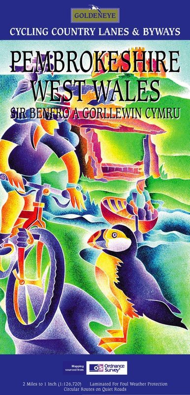
Fietskaart Pembrokeshire National Park - Goldeneye
Pembrokeshire National Park in het zuidwesten van Wales
Korte omschrijving
Fietskaarten Wales, Pembrokeshire, Wales en West Wales van Goldeneye. Ideaal voor tochten in Wales.
Fietskaart Pembrokeshire NP - West Wales - Goldeneye Productomschrijving: Pembrokeshire (Wels: Sir Benfro) is een bestuurlijk graafschap in het zuidwesten van Wales, gelegen in het ceremonië...

Specificaties
- Uitgever: Goldeneye
- ISBN-13: 9781859651223
- HOOFDCATEGORIEËN: Fietskaart
- Activiteiten: Fietsen / VTT / MTB
- Regio: Pembrokeshire, Wales, Wales, West Wales
- Land: Wales
- Nationale parken: Pembrokeshire Coast NP, Wales
- Schaal: 1:126720
- Editie: 1
- Taal: Engels
- Fietsen: Fietsen in het Buitenland
Volledige omschrijving
Fietskaart Pembrokeshire NP - West Wales - Goldeneye
Productomschrijving: Pembrokeshire (Wels: Sir Benfro) is een bestuurlijk graafschap in het zuidwesten van Wales, gelegen in het ceremoniële behouden graafschap Dyfed. Een supergeschikte regio voor de fietser in het algemeen, rustig gelegen in de hoek van Wales. Het grenst in het oosten aan Carmarthenshire en in het noordoosten aan Ceredigion. Pembrokeshire is tevens een historisch graafschap.
-17 circular routes
-National cycle network routes including famiy trails
-Cycle Hire centres
-Ideal scale for touring (2 miles to 1 inch/1:126.720)
Locatie op kaart
Artikelen uit dezelfde regio

Reisgids Great Britain - Groot Brittannië - Lonely Planet • 9781837583515
Travelguide Great Britain - Lonely Planet Productomschrijving: Buckingham Palace, Stonehenge, Manchester United, The Beatles – Britain does icons like nowhere else, and travel here is a fascinating mix of famous names and hidden gems. Covers: Planning chapters, London, Canterbury, Southeast England, Oxford, Cotswolds, Southwest England, Cambridge, East Anglia, Birmingham, the Midlands…
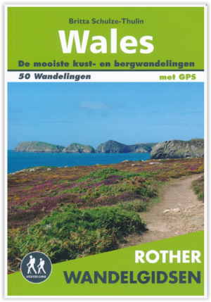

Wandelgids Wales - 50 wandelingen met GPS - Elmar • 9789038926933
Wandelgids Wales - 50 wandelingen Productomschrijving: Wales, een soort stukje Engeland, maar dan weer niet. Eenn stukje met zijn eigen cultuur, zijn eigen wandelcultuur en zijn eigen nationale parken. Deze Rother wandelgids Wales beschrijft de 50 mooiste kust- en bergwandelingen in het westen van het Verenigd Koninkrijk - van Pembrokeshire tot Anglesey, van de Ierse Zee tot de grens met E…
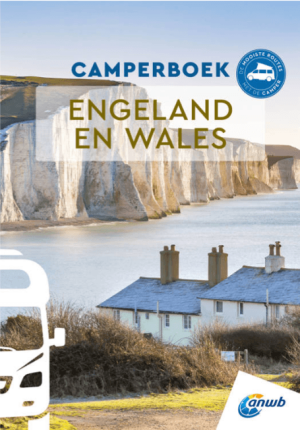
Anwb Camperboek Engeland & Wales - Anwb • 9789018055066
Camperboek Engeland & Wales - Anwb Productomschrijving: Ontdek met het ANWB Camperboek Engeland & Wales de mooiste camperroutes door adembenemende natuur en karaktervolle steden. Rijd langs ruige kusten, groene heuvels, nationale parken en sfeervolle dorpen, met 17 zorgvuldig samengestelde routes vol highlights. Inclusief praktische tips, campings, GPS-coördinaten en inspirerende fotografi…

Wandelgids Park Rangers Favourite Walks Pembrokeshire - Collins • 9780008462734
Park Rangers Favourite Walks Pembrokeshire coast - Collins Productomschrijving: Wandelgids voor het Pembrokeshire Coast National Park, met 20 beste routes uitgekozen door de parkwachters. Elke wandeling varieert in lengte van 2 tot 10 km en kan worden voltooid in minder dan 4 uur. Engelse omschrijving: Walking guide to the Pembrokeshire Coast National Park, with 20 best routes chosen b…
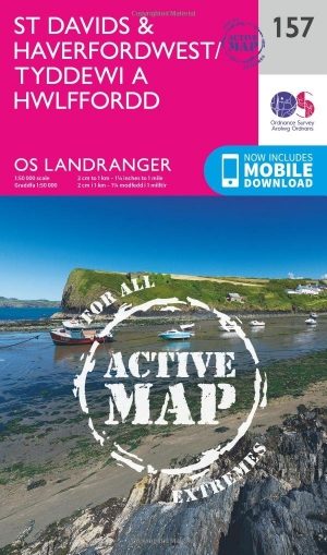
Wandelkaart 157 St-David's & Haverfordwest - Wales - OSI • 9780319474808
Wandelkaart St Davids & Haverfordwest - Wales OSI Productbeschrijving: De eigenschappen van het Pembrokeshire Coast Path sterkt zich op deze OS Landranger kaart 157 door langs de iconische kustlijn rond de landtong en St. Brides Bay, de traditionele Welsh steden van Pembroke, Milford Haven, Haverfordwest, St. David's en Goodwick. Hoogtepunten van St. David's Cathedral en de schitterende ba…