

Wandelgids Day Walks on the Pembrokeshire Coast - Vertebrate publ
20 routes in south-west Wales between 10.4 and 20.8 Km


Korte omschrijving
Wandelgidsen Pembrokeshire, Wales van Vertebrate Publishing. Ideaal voor tochten in Wales.
Day Walks on the Pembrokeshire Coast - Vertebrate Productomschrijving: 20 routes in south-west Wales Day Walks on the Pembrokeshire Coast features 20 classic coastal routes between 6.5 ...

Specificaties
- Uitgever: Vertebrate Publishing
- ISBN-13: 9781910240984
- HOOFDCATEGORIEËN: Wandelgids
- Activiteiten: Wandelen, Hiking & Trekking
- Auteur: Harri Roberts
- Regio: Pembrokeshire, Wales
- Land: Wales
- Nationale parken: Pembrokeshire Coast NP, Wales
- Taal: Engels
- Reeks/Serie: Day walks in, vertebrate Publishing
- National Trails UK, England & Wales: Pembrokeshire Coast Path, Wales
Volledige omschrijving
Day Walks on the Pembrokeshire Coast - Vertebrate
Productomschrijving: 20 routes in south-west Wales
Day Walks on the Pembrokeshire Coast features 20 classic coastal routes between 6.5 miles and 13 miles (10.4km and 20.8km) in length, suitable for hillwalkers of all abilities. Local author and walker Harri Roberts shares his favourite walks in the national park, including a meander along Bosherston Lily Ponds – a series of interconnected lakes, rich in wildlife; the 650-million-year-old sea cliffs of St Brides, studded with the less-common, upland-loving sessile oak, and retracing the steps of Wales’s patron saint, from St Davids to St Justinian’s.
The routes are in five areas: the South Pembrokeshire Coast, Daugleddau, the West Pembrokeshire Coast, the North Pembrokeshire Coast, and the Preseli Hills. Each route features Ordnance Survey 1:25,000 maps; easy-to-follow directions; details and distance and navigation info, and refreshment stops and local information.
Artikelen uit dezelfde regio
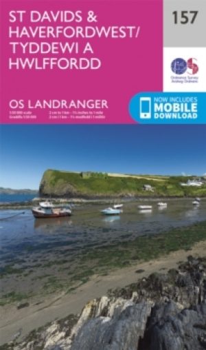
Wandelkaart 157 St-David's & Haverfordwest - Wales - OSI • 9780319262559
Wandelkaart St-David's & Haverfordwest - Wales - OSI Productbeschrijving: Pembrokeshire Coast Path op OS Landranger kaart 157, volgt de iconische kustlijn rond de landtong en St. Brides Bay, de traditionele Welsh steden van Pembroke, Milford Haven, Haverfordwest, St. David's en Goodwick passeren. De OS Landranger kaarten reeks heeft betrekking op Groot-Brittannië met 204 gedetailleerde kaa…

Wandelgids Pembrokeshire Tenby & the south - Cicerone • 9781786311757
Pembrokeshire Tenby & the south - Cicerone Productomschrijving: 15 van de beste korte wandelingen in Tenby en South Pembrokeshire. Onze gids is voorzien van goed leesbare Ordnance Survey-kaarten en duidelijke routebeschrijvingen, perfect als je voor het eerst gaat wandelen of op zoek bent naar iets waar je met het hele gezin van kunt genieten. Engelse omschrijving: 15 of the best short…

Wandelkaart OL36 South Pembrokeshire- Wales - OSI • 9780319469545
Wandelkaart South Pembrokeshire - Wales Productbeschrijving: Kaart nummer OL36 is een all purpose kaart vol gepakt met informatie om u het gebied te helpen leren kennen. De kaarten bestrijken het land. Elke kaart heeft een oppervlakte van 40 km door 40 km (25 mijl door 25 mijl) en zoals andere kaarten van Ordnance Survey, National Grid-vierkanten worden verstrekt zodat elke functie een uni…
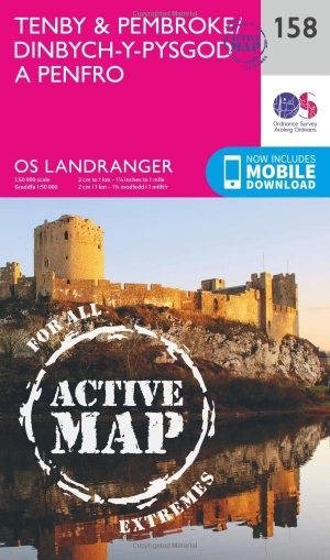
Wandelkaart 158 Tenby & Pembroke - Wales - OSI • 9780319474815
Wandelkaart Tenby & Pembroke in Pembrokeshire Wales Productbeschrijving: Deze OS Landranger kaart 158 omvat Tenby & Pembroke, alsook Kilgetty, Freystrop, Yerbeston, Milford Haven, Wolfsdale, Llandissilio, het Nationaal Park van Pembrokeshire Coast en de Pembrokeshire Coast Path. De OS Landranger kaarten reeks heeft betrekking op Groot-Brittannië met 204 gedetailleerde kaarten, perfect voo…
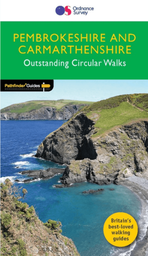
Wandelgids 034 Pathfinder guides Pembrokeshire Wales - OS • 9780319090374
Wandelgids Pembrokeshire Wales - OS Productomschrijving: This Pathfinder walks guidebook for Pembrokeshire and Carmarthenshire book contains 28 carefully planned walks created by seasoned walkers. The routes range from two to nine miles, and allow you to see some of the best that the area has to offer. The Pembrokeshire and Carmarthenshire area has some of the most spectacular coastal …