

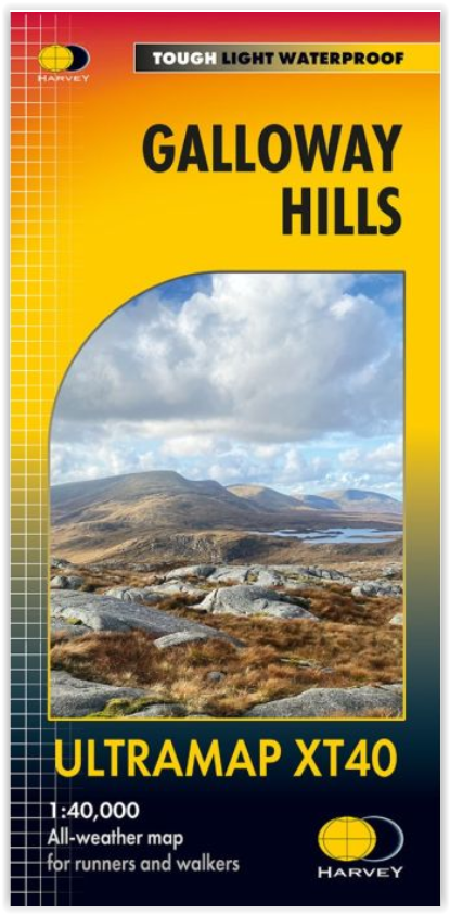
Wandelkaart Galloway Hills XT40 ultra - Harvey Maps
In de Schotse regio Dumfries and Galloway
Korte omschrijving
Wandelkaarten Dumfries & Galloway, Schotland van HARVEY MAPS. Ideaal voor tochten in Schotland.
Wandelkaart Galloway Hills - Harvey Maps Productomschrijving: De Galloway Hills zijn een reeks heuvels in de Schotse regio Dumfries and Galloway. Ze liggen in het zuidwesten van Galloway. De...

Specificaties
- Uitgever: HARVEY MAPS
- ISBN-13: 9781851377282
- HOOFDCATEGORIEËN: Wandelkaart
- Activiteiten: Wandelen, Hiking & Trekking
- Regio: Dumfries & Galloway, Schotland
- Land: Schotland
- TOPO's & Stafkaarten: Topografisch wandelen
- Schaal: 1:40000
- Taal: Engels
- Reeks/Serie: Superwalker XT40, Harvey Maps
Volledige omschrijving
Wandelkaart Galloway Hills - Harvey Maps
Productomschrijving: De Galloway Hills zijn een reeks heuvels in de Schotse regio Dumfries and Galloway. Ze liggen in het zuidwesten van Galloway. De Galloway Hills bestaan uit de bergen Merrick, Criffel & Cairnsmore of Fleet.
Artikelen uit dezelfde regio
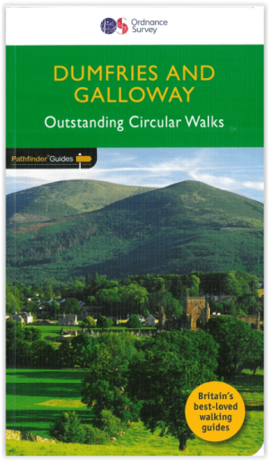
Wandelgids 019 Pathfinder guides Dumfries & Galloway - OS • 9780319091180
Wandelgids Dumfries & Galloway Schotland - OS Productomschrijving: Dumfries and Galloway form the South-west of Scotland, a broad wedge of land jutting out into the Irish Sea between the Solway Firth and the Firth of Clyde. The area is also part of Scotland's border country a peaceful, unspoilt region that possesses a mild climate, a great variety of scenery and a rich historic legacy. …
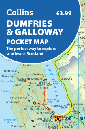
Landkaart Wegenkaart Pocket map Dumfries & Galloway - Harper • 9780008780449
Wegenkaart Pocket map Dumfries & Galloway - Harper Collins Productomschrijving: Dumfries & Galloway Pocket Map: The perfect way to explore southwest Scotland Map Handy little full colour map of Dumfries & Galloway.

Wandelgids Dumfries and Galloway short walks - Cicerone • 9781786311726
Dumfries and Galloway short walks - Cicerone Productomschrijving: Ronald Turnbull heeft 15 van de beste korte wandelingen rond Dumfries and Galloway voor je uitgezocht. Onze gids is voorzien van goed leesbare Ordnance Survey-kaarten en duidelijke routebeschrijvingen, perfect als je voor het eerst gaat wandelen of iets zoekt waar je met het hele gezin van kunt genieten. We hebben inform…

Reisgids Go Slow Dumfries & Galloway - Bradt travel guides • 9781804692721
Reisgids Dumfries & Galloway - Bradt Productomschrijving: Written by Southern Scotland experts, this new, thoroughly updated third edition of Bradt's Dumfries & Galloway (Slow Travel) remains the only full-blown guide to this beguiling southwest corner of Scotland. The region is covered in depth, from Eskdale in the east to Scotland's southern tip at the Mull of Galloway, via Annandal…

Wandelgids Walking the Galloway Hills - Cicerone • 9781786310101
Wandelgids - Walking the Galloway Hills - Cicerone Productomschrijving: Deze gids omvat 34 dagwandelingen en een langeafstandsroute in de wilde en afgelegen heuvels van de Galloway in Schotland. Hoewel er enkele kortere en gemakkelijkere routes zijn, zijn dit enkele van de meest populaire, lange afstandswandelingen in het land, dus ze zijn meer geschikt voor ervaren wandelaars. De wan…