
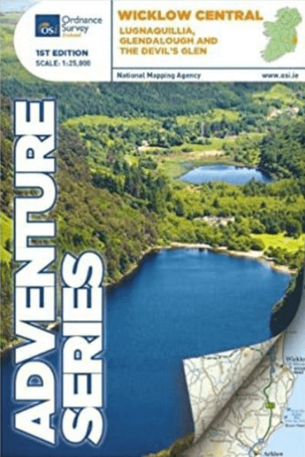
Wandelkaart Adventure Series Wicklow Central - OSI
Lugnaquillia- Vale of Glendalough- The Devil's Glen
Korte omschrijving
Wandelkaarten Wicklow, Ireland en Central Wicklow, Ireland van Ordnance Survey Ireland. Ideaal voor tochten in Ierland.
Wandelkaart Wicklow Central - OSI Productomschrijving: The R756 and R755 are shown on the map along with the railway line running through Rathdrum. This map shows the towns and villages...

Specificaties
- Uitgever: Ordnance Survey Ireland
- ISBN-13: 9781908852373
- HOOFDCATEGORIEËN: Wandelkaart
- Activiteiten: Wandelen, Hiking & Trekking
- Regio: Central Wicklow, Ireland, Wicklow, Ireland
- Land: Ierland
- Nationale parken: Wicklow National Park, Ireland
- Schaal: 1:25000
- Taal: Engels
- Reeks/Serie: Adventure Series, OSI
- De Nationale Parken: Wicklow Mountains National Park, Ireland
Volledige omschrijving
Wandelkaart Wicklow Central - OSI
Productomschrijving: The R756 and R755 are shown on the map along with the railway line running through Rathdrum.
This map shows the towns and villages of Roundwood, Laragh, the Vale of Glendalough, Glenealy, Rathdrum, Ballyknockan and Hollywood. Lugnaquillia, the highest mountain in Wicklow, features on this map.
Mullaghcleevaun is the second highest mountain in Wicklow and on a clear day the hills of Wales can be seen from the summit trig point.
Among the numerous mountains shown on this map are Luggala or Fancy mountain, Tonelagee, Scarr, Camaderry, Silsean, Mullaghcleevaun,Table Mountain, Conavalla, Clohernagh, and Slievemaan. The Devil’s Glen also features.
Among the rivers on this map are the Avonmore River, the Vartry River, the Glendasan River, Glenmacnass River, the Avonbeg River, the Slaney River and Kings River.
Among the lakes and reservoirs that feature on this map are Lough Tay, Lough Dan, Lough Ouler, Upper Lake Glendalough, Lower Lake Glendalough, Vartry Reservoir and the southern part of the Pollaphuca Reservoir.
Part of Wicklow National Park is included on this map. The central section of the Wicklow Way is also shown.
Numerous walks and trails feature and among them are Waterfall Walk, Seamus Heaney Walk, Derrybawn Woodland Trail, Spink Short Route, St Kevins Way, Clara Vale Trails, Jubilee Walk and Deputy’s Pass.
Glendalough and The Devil’s Glen have much to offer with mountains, hills, valleys and historic monuments. Highlights of the area include: Glendalough Monastic Site, Glenmacnass Waterfall and Roundwood which is one the highest villages in Ireland.
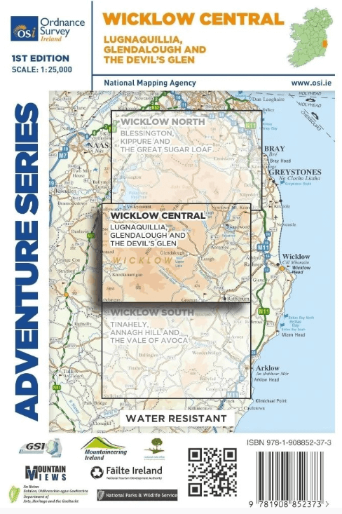
Two Discovery maps 1:50,000 also cover this area with sheet 56 covering the northern part of the map and sheet 62 covering the southern part.
Gekoppelde artikelen

Wandelkaart Adventure Series Wicklow North - OSI • 9781908852366
standaard versieWandelkaart Wicklow North - OSI Productomschrijving: This map is situated in south County Dublin, a small portion of County Kildare and north County Wicklow. A section of the southern end of the M50 is shown along with the M11/ N11. The N81 from Dublin to Blessington also features. Wicklow North adventure map covers: the key towns of Blessington and Bray. Among the villages shown …
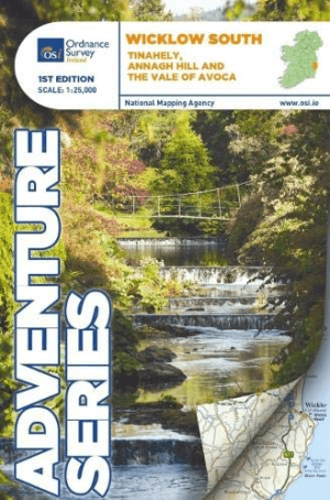
Wandelkaart Adventure Series Wicklow South - OSI • 9781908852380
standaard versieWandelkaart Wicklow South - OSI Productomschrijving: This map is situated in County Wicklow, County Carlow and County Wexford. Roads shown on this map include R752, R753, R747 and R748. A short portion of the M11 at Arklow is shown. The railway which runs through the Vale of Avoca to Arklow town is shown. Among the towns and villages shown on this map are Avoca, Aughrim, Arklow western sec…