
Wandelkaart Adventure Series Wicklow South - OSI
Tinahely - Annagh Hill - The Vale of Avoca


Korte omschrijving
Wandelkaarten County Wicklow, Ireland, County Carlow, Ireland en County Wexford, Ireland van Ordnance Survey Ireland. Ideaal voor tochten in Ierland.
Wandelkaart Wicklow South - OSI Productomschrijving: This map is situated in County Wicklow, County Carlow and County Wexford. Roads shown on this map include R752, R753, R747 and R748. A sh...

Specificaties
- Uitgever: Ordnance Survey Ireland
- ISBN-13: 9781908852380
- HOOFDCATEGORIEËN: Wandelkaart
- Activiteiten: Wandelen, Hiking & Trekking
- Regio: County Carlow, Ireland, County Wexford, Ireland, County Wicklow, Ireland
- Land: Ierland
- Nationale parken: Wicklow National Park, Ireland
- Schaal: 1:25000
- Taal: Engels
- Reeks/Serie: Adventure Series, OSI
- De Nationale Parken: Wicklow Mountains National Park, Ireland
Volledige omschrijving
Wandelkaart Wicklow South - OSI
Productomschrijving: This map is situated in County Wicklow, County Carlow and County Wexford. Roads shown on this map include R752, R753, R747 and R748. A short portion of the M11 at Arklow is shown. The railway which runs through the Vale of Avoca to Arklow town is shown. Among the towns and villages shown on this map are Avoca, Aughrim, Arklow western section of the town, Hacketstown, Knockananna, Tinahely and Shillelagh.
Mountains and hills that feature are the western part of Croaghanmoira, Cushbawn, Croghan, the southern section of Slieve Maan, Carrickashane, Ballyteige and Stookeen.
Among the rivers on this map are the Ow River, the Aughrim River, the Avoca River, the Derreen River and the Derry River. This map shows the historic site of Avondale House and Forest Park.
The Wicklow Way continues down through the map. Among the many trails, loops and walks marked on this map are Avondale Trails, Avoca Red Kite Trails, Sean Linehan Walk, Ciaran Shannon Walk, Mangans Loop, Ballycumber Loop, Kyle Loop, Tinahely Railway Walk, and Tomnafinnogue.
One Discovery map 1:50,000 sheet 62, also covers this area.
Gekoppelde artikelen

Wandelkaart Adventure Series Wicklow North - OSI • 9781908852366
standaard versieWandelkaart Wicklow North - OSI Productomschrijving: This map is situated in south County Dublin, a small portion of County Kildare and north County Wicklow. A section of the southern end of the M50 is shown along with the M11/ N11. The N81 from Dublin to Blessington also features. Wicklow North adventure map covers: the key towns of Blessington and Bray. Among the villages shown …

Wandelkaart Adventure Series Wicklow Central - OSI • 9781908852373
standaard versieWandelkaart Wicklow Central - OSI Productomschrijving: The R756 and R755 are shown on the map along with the railway line running through Rathdrum. This map shows the towns and villages of Roundwood, Laragh, the Vale of Glendalough, Glenealy, Rathdrum, Ballyknockan and Hollywood. Lugnaquillia, the highest mountain in Wicklow, features on this map. Mullaghcleevaun is the second hig…
Artikelen uit dezelfde regio

Wandelkaart 62 County Carlow, Wexford & Wicklow - OSI • 9781912140664
Wandelkaart County Carlow, Wexford & Wicklow - OSI Productomschrijving: Ontdek Ierland met de Discovery Series Wandelkaarten van Ordnance Survey Ireland. Omvat de Counties: Carlow, Wexford & Wicklow. De Discovery Series wandelkaarten van Ordnance Survey Ireland (OSi) zijn dé keuze voor wandelaars, fietsers en avonturiers die Ierland echt willen verkennen. Deze hoogwaardige topogra…
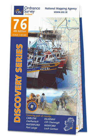
Wandelkaart 76 County Carlow, Kilkenny, Waterford & Wexford - OSI • 9781912140381
Wandelkaart County Carlow, Kilkenny, Waterford & Wexford - OSI Productomschrijving: Ontdek Ierland met de Discovery Series Wandelkaarten van Ordnance Survey Ireland. Omvat: County Carlow, Kilkenny, Waterford & Wexford De Discovery Series wandelkaarten van Ordnance Survey Ireland (OSi) zijn dé keuze voor wandelaars, fietsers en avonturiers die Ierland echt willen verkennen. Deze ho…

Wandelkaart 61 County Carlow, Kildare, Kilkenny, Laois & Wicklow - OSI • 9781912140114
Wandelkaart County Carlow, Kildare, Kilkenny, Laois & Wicklow Productomschrijving: Ontdek Ierland met de Discovery Series Wandelkaarten van Ordnance Survey Ireland. Omvat de Counties: Carlow, Kildare, Kilkenny, Laois & Wicklow. De Discovery Series wandelkaarten van Ordnance Survey Ireland (OSi) zijn dé keuze voor wandelaars, fietsers en avonturiers die Ierland echt willen verkennen…

Wandelkaart 56 County Wicklow, Kildare & Dublin - OSI • 9781912140343
Wandelkaart County Wicklow, Kildare & Dublin - OSI Productomschrijving: Ontdek Ierland met de Discovery Series Wandelkaarten van Ordnance Survey Ireland. Omvat: de Counties Wicklow, Kildare & Dublin De Discovery Series wandelkaarten van Ordnance Survey Ireland (OSi) zijn dé keuze voor wandelaars, fietsers en avonturiers die Ierland echt willen verkennen. Deze hoogwaardige topograf…
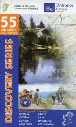
Wandelkaart 55 County Kildare, Laois & Wicklow - OSI • 9781912140411
Wandelkaart County Kildare, Laois & Wicklow - OSI Productomschrijving: Ontdek Ierland met de Discovery Series Wandelkaarten van Ordnance Survey Ireland. Omvat: de Counties: Kildare, Laois & Wicklow. De Discovery Series wandelkaarten van Ordnance Survey Ireland (OSi) zijn dé keuze voor wandelaars, fietsers en avonturiers die Ierland echt willen verkennen. Deze hoogwaardige topogra…