

Wandelkaart 700 Ogden- Monte Cristo Range Utah USA - Nat Geo
Ontworpen voor echte de outdoor enthousiastelingen

Korte omschrijving
Wandelkaarten Utah, USA van National Geographic. Ideaal voor tochten in Verenigde Staten van Amerika (USA).
Ogden- Monte Cristo Range- Utah USA - Nat Geo Productomschrijving: Outdoor enthousiastelingen die willen genieten van de grenzeloze recreatieve mogelijkheden in het noorden van Utah net ten ...

Specificaties
- Uitgever: National Geographic
- ISBN-13: 9781566956345
- HOOFDCATEGORIEËN: Wandelkaart
- Activiteiten: Wandelen, Hiking & Trekking
- Auteur: National Geographic
- Regio: Utah, USA
- Land: Verenigde Staten van Amerika (USA)
- TOPO's & Stafkaarten: Topografisch wandelen
- Schaal: 1:75000
- Taal: Engels
Volledige omschrijving
Ogden- Monte Cristo Range- Utah USA - Nat Geo
Productomschrijving: Outdoor enthousiastelingen die willen genieten van de grenzeloze recreatieve mogelijkheden in het noorden van Utah net ten oosten van Great Salt Lake zullen zich vergapen aan National Geographic's Trails Illustrated kaart van Ogden en de Monte Cristo Range. Ontworpen met een breed scala van bezoekers in het achterhoofd, werd deze deskundig onderzochte kaart gemaakt in samenwerking met de U.S. Forest Service en anderen.
De kaart omvat vele populaire recreatiepunten, waaronder Cache en Wasatch National Forests, Antelope Island, Willard Bay en East Canyon State Parks, East Canyon, Ogden Bay, Brigham Face en Middle Fork State Wildlife Areas, Wasatch en Bear River Ranges, Pineview Reservoir, en Ogden River. Een nauwkeurig wegennet tussen Brigham City en North Salt Lake wordt ook getoond.
Omvat eveneens: Antelope Island, Bountiful, Brigham City, Cache National Forest, Centerville, Clearfield, Clinton, Farmington, Kaysville, Layton, Little Bear River, Monte Cristo Range, North Ogden, North Salt Lake, Ogden, Pineview Reservoir, Roy, South Ogden, Syracuse, Wasatch National Forest, Weber River.
Engelse omschrijving: Outdoor enthusiasts looking to enjoy the limitless recreational opportunities in northern Utah just east of Great Salt Lake will marvel at National Geographic's Trails Illustrated map of Ogden and the Monte Cristo Range. Designed with a wide range of visitors in mind, this expertly researched map was created in cooperation with the U.S. Forest Service and others. The map covers many popular recreation points of interest, including Cache and Wasatch National Forests, Antelope Island, Willard Bay and East Canyon State Parks, East Canyon, Ogden Bay, Brigham Face and Middle Fork State Wildlife Areas, Wasatch and Bear River Ranges, Pineview Reservoir, and Ogden River. An accurate road network between Brigham City and North Salt Lake is also shown.
Select an area to explore with the aid of activity guides that list the location, elevation, available facilities and other information of various campgrounds, marinas and picnic grounds. Clearly mapped trails are shown with mileage markers, including part of the Great Western Trail, and are labeled according to designated usage, whether exploring on foot, horseback, mountain bike, motorcycle or ATV. Winter trails are also shown and labeled for ski or snowmobile use. To aid in your navigation, the map includes contour lines, elevations, labeled peaks and summits, and water features. Some of the other recreation features pinpointed are trailheads, paved biked roads, river access points, canoeing, kayaking and swimming areas, shooting ranges, ski areas, yurts and horse corrals.
Every Trails Illustrated map is printed on "Backcountry Tough" waterproof, tear-resistant paper. A full UTM grid is printed on the map to aid with GPS navigation.

Locatie op kaart
Artikelen uit dezelfde regio
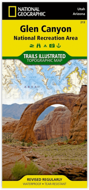
Wandelkaart 213 Glen Canyon & Capitol Reef NP - Nat Geo • 9781566953436
Wandelkaart Glen Canyon & Capitol Reef NP - Nat Geo Omvat: Bullfrog Creek, Cataract Canyon, Dirty Devil River, Escalante River, Glen Canyon, Glen Canyon Dam, Glen Canyon National Recreation Area, Kaibito Creek, Lake Powell, Mount Hillers, Navajo Creek, Paria River, Rainbow Plateau, Red Canyon, San Juan River, Smoky Mountain, Wahweap Creek, Wilson Mesa. Engelse omschrijving: Let Nationa…

Wandelkaart 705 Mount Dutton & Aquarius Plateau - Nat Geo • 9781566954150
Wandelkaart Mount Dutton & Aquarius Plateau - Nat Geo Omvat: Black Butte, Bryce Canyon National Park, Dixie National Forest, Paunsaugunt Plateau, Pink Cliffs, Sevier Plateau. Engelse omschrijving: This map covers the spectacularly scenic stretch in southern Utah of the Powell and Escalante Ranger Districts of Dixie National Forest—from Bicknell Bottom State Wildlife Area in the Northw…
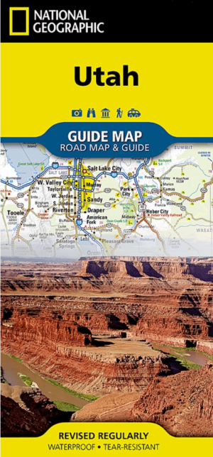
Landkaart Wegenkaart Utah State guide map - Nat Geo • 9781566957236
Wegenkaart Utah State guide map - Nat Geo Productomschrijving: National Geographic's Utah Guide Map is designed to meet the needs of all travelers with by combining a detailed and accurate road map with and an expertly researched travel guide. Find your destination quickly using the user friendly index of cities and towns. Then plan your route on the comprehensive road map, complete with r…
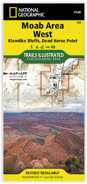
Wandelkaart 506 Moab West - Klondike Bluffs & Dead Horse Point • 9781566959018
Wandelkaart Moab West - Klondike Bluffs & Dead Horse Point Productomschrijving: Deze kaart omvat het westelijke gedeelte van het grote Moab recreatie gebied van het befamde National Geographic's Trails Illustrated. De kaart biedt een overzicht genummerd 506 op onderstaande kaart van het gebied. Het gebied omvat 3 kaarten met nummers, 505, 506 & 507. De 505 is de kaart die alles in één keer…
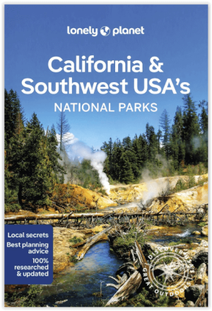
Wandelgids California & Southwest USA's NP's - Lonely Planet • 9781838696061
Wandelgids California & Southwest USA's National Parks Productomschrijving: Lonely Planet's California and Southwest USA's National Parks is uw paspoort voor het meest actuele advies over wat je moet zien en overslaan. Wandel door de Grand Canyon, bewonder Sequoia en jaag op watervallen in Yosemite; allemaal met je vertrouwde reisgenoot. Duik in het hart van de nationale parken van Califor…