

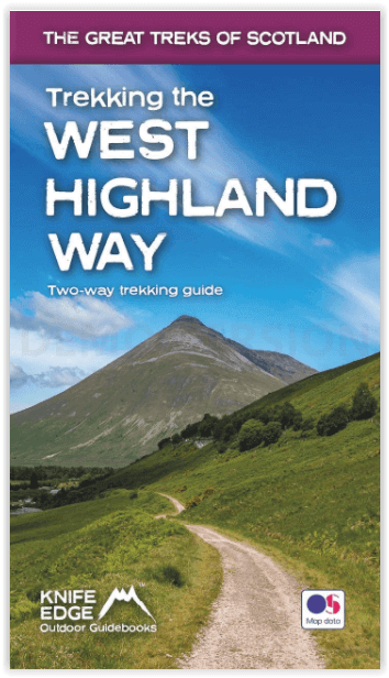
Wandelgids West Highland way trekking guide - Knife Edge
Both Northbound and Southbound routes are described
Korte omschrijving
Wandelgidsen Highlands, Schotland van Knife Edge Outdoor Limited. Ideaal voor tochten in Schotland.
West Highland way trekking guide - Knife Edge Productomschrijving: De West Highland Way, één van de "Great Trails" van Schotland, voert over een afstand van 96 mijl door een subliem landscha...

Specificaties
- Uitgever: Knife Edge Outdoor Limited
- ISBN-13: 9781912933112
- HOOFDCATEGORIEËN: Wandelgids
- Activiteiten: Wandelen, Hiking & Trekking
- Auteur: Andrew McCluggage
- Regio: Highlands, Schotland
- Land: Schotland
- Editie: 1
- Taal: Engels
- Iconische Bergketens van Europa: De Schotse Highlands
- Iconische Wandelroutes: West Highland Way, Schotland
- Scotlands Great Trails: West Highland Way
Volledige omschrijving
West Highland way trekking guide - Knife Edge
Productomschrijving: De West Highland Way, één van de "Great Trails" van Schotland, voert over een afstand van 96 mijl door een subliem landschap, van de buitenwijken van Glasgow naar Fort William. Tussendoor zijn er ontelbare prachtige bergen, prachtige valleien, glinsterende lochs en schijnbaar eindeloze kilometers paarse heide te beleven. De trekker doorkruist dit prachtig onbevolkte terrein op een nauwgezet aangegeven reeks paden en wegen, waarvan vele oude militaire wegen of veedrijverspaden zijn, die vele eeuwen geleden werden aangelegd. In dit deel van de Highlands bent u ver weg van de stedelijke centra van de regio.
Af en toe komt u een weg tegen of passeert u een klein dorp of gehucht (met niet veel meer dan een plaatselijke pub en een paar overnachtingsmogelijkheden), maar verder is de ervaring er een van rust. Dit is de Schotse Hooglanden op zijn best en het zal een avontuur zijn dat u nooit zult vergeten.
Engelse omschrijving: The definitive two-way guide to the West Highland Way: both northbound and southbound routes are described in full.
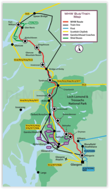
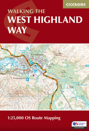
Real Maps: Full Ordnance Survey Explorer mapping inside (1:25,000) 17 different itineraries: schedules of 3, 4, 5, 6, 7, 8, 9, 10 and 11 days for hikers and runners. Includes both southbound and northbound itineraries. Difficult calculations of time, distance and altitude gain are done for you.
Also includes:
• Detailed information on equipment and travelling light
• Everything the trekker needs to know: route, costs, difficulty, weather, travel, and more
• Full accommodation listings: the best inns, B&Bs and hotels
• Detailed section on camping
• Essential info for both self-guided and guided trekkers
• Information on geology, history, plants and wildlife
• Numbered waypoints linking the Real Maps to our clear descriptions
The West Highland Way, which is one of ‘Scotland’s Great Trails’, travels 96 miles through sublime scenery, from the outskirts of Glasgow to Fort William. In between, there are countless magnificent mountains, exquisite glens, shimmering lochs and seemingly endless miles of purple heather to experience. The trekker negotiates this wonderfully unpopulated terrain on a meticulously waymarked series of paths and tracks, many of which are old military roads or drovers’ paths, built many centuries ago. In this part of the Highlands, you are far away from the region’s urban centres.
Occasionally, you will meet a road or pass through a small village or hamlet (with little more than a local pub and a few places to stay) but otherwise, the experience is one of tranquillity. This is the Scottish Highlands at their best and it will be an adventure that you will never forget.
Locatie op kaart
Artikelen uit dezelfde regio
Wandelgids Klimgids Munros Peak Bagging Vol 1. Vertebrate Publ. • 9781839812583
Wandelgids & Klimgids Munros Peak Bagging Vol 1. Productomschrijving: Peak Bagging Munros Volume 1 - Our list of munro's Highlands & the southern Cairngorms: 64 routes designed to complete the 141 southerly Munros in the most efficient way. Peak Bagging Munros Volume 1 by Nicola Hardy (Munroist number 6,765) features 64 routes designed to link up the 141 most southerly Munros so …
Wandelkaart OL55 Loch Laggan, Creag Meagaidh & Corrieyairack - OS • 9780319242940
Wandelkaart Loch Laggan, Creag Meagaidh & Corrieyairack - OS Productomschrijving: Loch Laggan, Creag Meagaidh & Corrieyairack, parts of the Cairngorms National Park, Omvat: Loch Laggan, Creag Meagaidh & Corrieyairack, Corrieyairack Pass, parts of the Cairngorms National Park & The Great Glenn Way. Ontdek de OL-serie van Ordnance Survey: De OL-serie (Outdoor Leisure) van Ordnance …

Wandelkaart 441 Lairg- Bonar Bridge & Golspie- Schotland • 9780319246849
Wandelkaart Lairg- Bonar Bridge & Golspie - Highland Schotland Productbeschrijving: Dornoch & Brora. Aan de Moray Firth toont OS Explorer kaart 441, Omvat de route van Brora naar Dornoch en het binnenland van Lairg te Bonar Bridge. Ga op verkenning rond Loch Fleet en Loch Brora of volg de rivier van Loch Shin naar Kyle of Sutherland. De OS Explorer kaart voor Lairg, Bonar Bridge & Gols…

Wandelkaart 428 Kyle of Lochalsh Schotland - OSI • 9780319472804
Wandelkaart Kyle of Lochalsh - Highland's Schotland Productbeschrijving: OS Explorer kaart 428 omvat de westelijke kant van de Wester Ross nationale Scenic Area. U kunt er ook de ruige kustlijn en kleine dorpjes gaan verkennen. De OS Explorer kaart voor Kyle van Lochalsh, Plockton & Applecross is beschikbaar in zowel de standaard papieren versie als de weerbestendige 'Actief' versie. P…
Wandelgids West Highland Way Map Booklet - Cicerone • 9781786311788
The West Highland Way Map Booklet - Cicerone Productomschrijving: Dit compacte kaartboekje toont de volledige route van de 152,88 km lange Schotse langeafstandsroute West Highland Way, via Loch Lomond en Rannoch Moor. Dit boekje is inbegrepen bij de Cicerone gids voor de route en toont de volledige route op Ordnance Survey 1:25.000 kaarten. Engelse omschrijving: This compact boo…