

Wandelkaart 450 Wick & The Flow Country- Schotland - OSI
Wick en Moray Firth met inbegrip van Lybster & Latheron

Korte omschrijving
Wandelkaarten Highlands, Schotland van Ordnance Survey. Ideaal voor tochten in Schotland.
Wandelkaart Wick & The Flow Country - Highland's Schotland Omvat ook: Lybster, Latheron & Dunbeath. Productbeschrijving: OS Explorer kaart 450 behandelt Wick en Moray Firth, met inbegrip...

Specificaties
- Uitgever: Ordnance Survey
- ISBN-13: 9780319473023
- HOOFDCATEGORIEËN: Wandelkaart
- Activiteiten: Wandelen, Hiking & Trekking
- Regio: Highlands, Schotland
- Land: Schotland
- Waterafstotende kaart: Ordnance Survey ACTIVE Explorer Weatherproof Maps
- TOPO's & Stafkaarten: Topografisch wandelen
- Schaal: 1:25000
- Taal: Engels
- Reeks/Serie: Explorer ACTIVE Series OSI
Volledige omschrijving
Wandelkaart Wick & The Flow Country - Highland's Schotland
Omvat ook: Lybster, Latheron & Dunbeath.
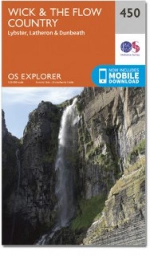
Productbeschrijving: OS Explorer kaart 450 behandelt Wick en Moray Firth, met inbegrip van Lybster, Latheron en Dunbeath. Wick bestaat al sinds ten minste 1266 en biedt de wereld kortste straat, Ebenezer plaats. De Flow Country is een groot gebied van moerassig, laaggelegen land; het Forsinard natuurgebied is op de aangrenzende kaart te vinden. De OS Explorer kaart voor Wick & The Flow Country is verkrijgbaar in zowel de standaard papieren versie als de weerbestendige 'Actief' versie.
Productdiscription: OS Explorer map 450 covers Wick and the Moray Firth, including Lybster, Latheron and Dunbeath. Wick has been in existence since at least 1266, and boasts the world shortest street, Ebenezer Place. The Flow Country is a large area of boggy, low-lying land; the Forsinard nature reserve is on the adjoining map. The OS Explorer map for Wick & The Flow Country is available in both the standard paper version and weatherproof 'Active' version.
Locatie op kaart
Gekoppelde artikelen

Wandelkaart 450 Wick & The Flow Country - OSI • 9780319246931
standaard versieWandelkaart Wick & The Flow Country - Northern Highland's Omvat ook: Lybster, Latheron & Dunbeath. Productbeschrijving: OS Explorer kaart 450 behandelt Wick en de Moray Firth, met inbegrip van Lybster, Latheron en Dunbeath. Wick bestaat al sinds ten minste 1266 en heeft 's werelds kortste straat, Ebenezer plaats. De Flow Country is een groot gebied van moerassig, laaggelegen land. De O…
Wandelkaart 450 Wick & The Flow Country- Schotland - OSI • 9780319473023
weatherproof versieWandelkaart Wick & The Flow Country - Highland's Schotland Omvat ook: Lybster, Latheron & Dunbeath. Productbeschrijving: OS Explorer kaart 450 behandelt Wick en Moray Firth, met inbegrip van Lybster, Latheron en Dunbeath. Wick bestaat al sinds ten minste 1266 en biedt de wereld kortste straat, Ebenezer plaats. De Flow Country is een groot gebied van moerassig, laaggelegen land; het For…
Artikelen uit dezelfde regio
Wandelgids The Speyside Way - Rucksack Readers • 9781898481997
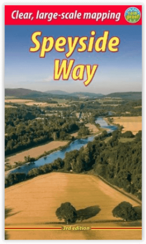
Wandelgids - The Speyside Way - Rucksack Readers Producomschrijving: De Speyside Way loopt over een afstand van 128 km van de vissershaven Buckie naar Aviemore in de uitlopers van de Cairngorms. U volgt de lieflijke vallei van de rivier de Spey en wandelt door een landschap dat rijk is aan malt whisky en wilde dieren, langs paden langs de rivier, spoorwegbeddingen en bos- en heidepaden. De…

Wandelkaart 447 Ben hope- Ben Loya & Kyle of Tongue • 9780319246900
Wandelkaart Ben hope- Ben Loyal- Kyle of Tongue - Highlands Productbeschrijving: 447 / Ben hope, Ben Loyal, Kyle of Tongue, Highlands, Schotland - Kaart nummer 447 omvat Ben Hope en Ben Loyal Kyle van tong. Hoogtepunten zijn Beinn Bheag, Loch Meadie en Loch een Dithreibh. Omvat ook Naver Loch, Loch Hope en Beinn Direach. De OS Explorer kaart voor Ben hoop, Ben loyaal & Kyle van tong …
Wandelkaart OL55 Loch Laggan & Creag Meagaidh - OSI • 9780319469736
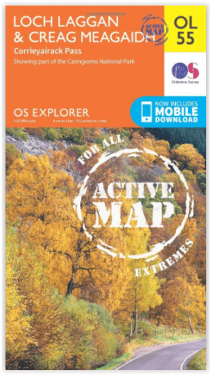
Wandelkaart Loch Laggan & Creag Meagaidh - Highland's Omvat ook: Corrieyairick Pass Productbeschrijving: OS Explorer kaart OL 55 dekt Loch Laggan, onderdeel van het Cairngorms National Park, Corrieyairick forest en 6 Munros. Deze kaart vervangt de vorige OS Explorer kaart 401 voor dit gebied. De OS Explorer kaart voor Loch Laggan & Creag Meagaidh is beschikbaar in zowel de standaard pa…
Wandelkaart 33 Loch Alsh- Glen Shiel & Loch Hourn - OSI • 9780319473566
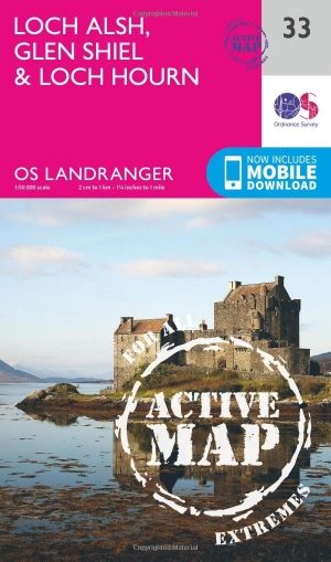
Wandelkaart Loch Alsh, Glen Shiel & Loch Hourn - Highland's Productbeschrijving: OS Landranger kaart 33 toont de noordoostelijke kust van Schotland aan, de gebieden rond Glen Shiel en Glenkingie, evenals Loch Duich, Hourn Loch, Loch Alsh, Loch Nevis en Loch Quoich. De OS Landranger kaarten reeks heeft betrekking op Groot-Brittannië met 204 gedetailleerde kaarten, perfect voor dagtochten en…
Reisgids Scottish Highlands & Islands - Rough Guides • 9781839058639
Scottish Highlands & Islands - Rough Guides Productomschrijving: Deze volledig bijgewerkte The Rough Guide to Scottish Highlands and Islands is de ultieme gids voor de fascinerende uithoeken van Schotland. Van de goddelijke visgerechten bij Loch Fyne tot de whiskystokerijen op Islay, dit is een plek om je te laten verwennen. Het is ook een hotspot voor buitenactiviteiten, of je nu besluit …