

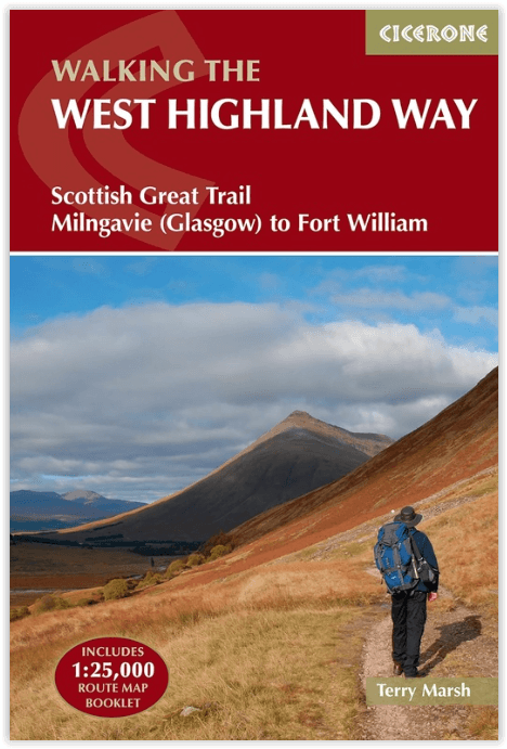
Wandelgids West Highland Way - Cicerone
From Milngavie to Fort William

Korte omschrijving
Wandelgids West Highland Way - Cicerone Productomschrijving: Wandelgids voor de West Highland Way National Trail, een Schotse langeafstandsroute van Milngavie bij Glasgow naar Fort William v...

Specificaties
- Uitgever: CICERONE Press
- ISBN-13: 9781786311771
- HOOFDCATEGORIEËN: Wandelgids
- Activiteiten: Wandelen, Hiking & Trekking
- Auteur:: Terry Marsch
- Regio: Highlands, Schotland
- Land: Schotland
- Toepasselijke bergketen: Schotse Highlands, Schotland
- Lange afstand wandelroutes: West Highland Way, Schotland (152 km)
- Editie: 5
- Taal: Engels
- Iconische Bergketens van Europa: De Schotse Highlands
- Iconische Wandelroutes: West Highland Way, Schotland
Volledige omschrijving
Wandelgids West Highland Way - Cicerone
Productomschrijving: Wandelgids voor de West Highland Way National Trail, een Schotse langeafstandsroute van Milngavie bij Glasgow naar Fort William van 95 mijl, langs Loch Lomond en over Rannoch Moor. Voorgestelde routes van 6 tot 9 dagen. Inclusief accommodatiegids en uittrekbaar boekje met 1:25K OS-kaarten.
Egelse omschrijving: Guidebook to walking the West Highland Way National Trail, a 95 mile Scottish long-distance route from Milngavie near Glasgow to Fort William, passing Loch Lomond and crossing Rannoch Moor. Suggested itineraries over 6 to 9 days. Includes accommodation guide and pull-out 1:25K OS map booklet.
Seasons:
May-June and September-October avoid the worst of the midges, but suitably experienced backpackers can do this walk at any time of year.
Centres:
The walk traditionally starts in Milngavie, on the outskirts of Glasgow (accessible by rail), and concludes at Fort William (likewise). There are few towns or villages en route where supplies can be had: Drymen, Crianlarich, Tyndrum and Kinlochleven.
Difficulty:
The walking is not difficult for anyone accustomed to regular walks longer than 10 miles, although there is ample scope to shorten almost all of the days, and to offload the pack carrying onto an independent service that will transport your baggage for you.
Must See:
The West Highland Way embraces diversity, from the urbanity of Milngavie to the days in the company of Loch Lomond, and then the striding splendour of Rannoch Moor. The haul from Glencoe, under the gaze of Buachaille Etive Mòr, up the Devil's Staircase, then into the hidden valley of Lairig Mòr, are stages to be savoured.
.png)
Locatie op kaart
Artikelen uit dezelfde regio
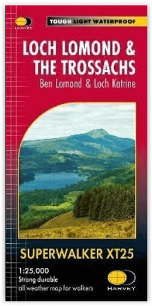
Wandelkaart XT25 Loch Lomond & The Trossachs - Harvey maps • 9781851376445
Loch Lomond & The Trossachs - Harvey maps Productomschrijving: Ideaal om het ganse gebied van de Great Trossachs Forest en Queen Elizabeth Forest Park te ontdekken. Er gaat niets boven een Schots nationaal park. Omvat: Ben Vorlich, Ben Ledi en Ben Venue - 7 Munros, 7 Corbetts en 6 Grahams - Lichtgewicht, gedetailleerd, duidelijk en makkelijk te lezen - Geprint op sterk, 100% wa…
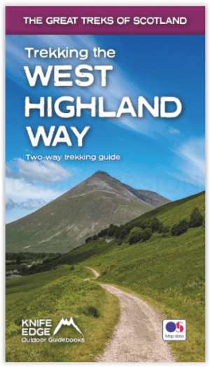
Wandelgids West Highland way trekking guide - Knife Edge • 9781912933112
West Highland way trekking guide - Knife Edge Productomschrijving: De West Highland Way, één van de "Great Trails" van Schotland, voert over een afstand van 96 mijl door een subliem landschap, van de buitenwijken van Glasgow naar Fort William. Tussendoor zijn er ontelbare prachtige bergen, prachtige valleien, glinsterende lochs en schijnbaar eindeloze kilometers paarse heide te beleven. De…
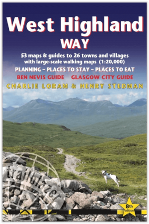
Wandelgids West Highland Way - Trailblazer • 9781912716296
The West Highland Way - Trailblazer Productomschrijving: De West Highland Way, loopt door één van de meest spectaculaire landschappen van Groot-Brittannië. Vanaf de rand van Glasgow slingert de route zich over 95 mijl (152 km) langs de beboste oevers van Loch Lomond, over de wildernis van Rannoch Moor, over de bergen boven Glencoe naar een dramatische finish aan de voet van Ben Nevis - de …

Wandelkaart Knoydart - Kintail & Glen Affric - Harvey maps • 9781851374144
Wandelkaart Knoydart - Kintail & Glen Affric - Harvey maps Productomschrijving: Deze Harvey BMC kaart toont de laatste wildernis van Groot-Brittannië in detail, met Knoydart, Kintail en Glen Affric toegewezen. Gemaakt in samenwerking met de Raad van Schotland van alpinisme en de British Mountaineering Council, en tonen 43 Munros, 21 Corbetts. Afgedrukt op polyethyleen - duurzaam, scheur-…
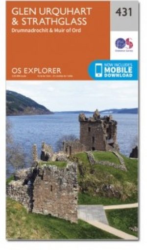
Wandelkaart 431 Glen Urquhart & Strathglass- Schotland OSI • 9780319472835
Wandelkaart Glen Urquhart & Strathglass - Highland's Schotland Omvat ook: Drumnadrochit & Muir of Ord. Productbeschrijving: Ten westen van de Highland hoofdstad van Inverness, toont OS Explorer kaart 431 toont Drumnadrochit noordelijk naar Muir of Ord. Het omvat de nationale Scenic gebied van Strathfarrar, het Orrin Reservoir, en een kleine hoeveelheid van de Great Glen way. De OS Expl…