

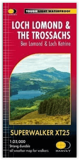
Wandelkaart XT25 Loch Lomond & The Trossachs - Harvey maps
Ben Vorlich- Ben Ledi en Ben Venue
Korte omschrijving
Wandelkaarten Highlands, Schotland van HARVEY MAPS. Ideaal voor tochten in Schotland.
Loch Lomond & The Trossachs - Harvey maps Productomschrijving: Ideaal om het ganse gebied van de Great Trossachs Forest en Queen Elizabeth Forest Park te ontdekken. Er gaat niets boven een S...

Specificaties
- Uitgever: HARVEY MAPS
- ISBN-13: 9781851376445
- HOOFDCATEGORIEËN: Wandelkaart
- Activiteiten: Wandelen, Hiking & Trekking
- Regio: Highlands, Schotland
- Land: Schotland
- Nationale parken: The Trossarchs National Park, Schotland
- Schaal: 1:25000
- Taal: Engels
- Reeks/Serie: Superwalker XT25, Harvey Maps
Volledige omschrijving
Loch Lomond & The Trossachs - Harvey maps
Productomschrijving: Ideaal om het ganse gebied van de Great Trossachs Forest en Queen Elizabeth Forest Park te ontdekken. Er gaat niets boven een Schots nationaal park.
Omvat: Ben Vorlich, Ben Ledi en Ben Venue
- 7 Munros, 7 Corbetts en 6 Grahams
- Lichtgewicht, gedetailleerd, duidelijk en makkelijk te lezen
- Geprint op sterk, 100% watervast en scheurbestendig papier
- Toont de horeca voor na je dagtrip
- GPS compatibel
Locatie op kaart
Artikelen uit dezelfde regio

Wandelkaart 445 Foinaven Arkle Kylesku Schotland - OSI • 9780319472972
Wandelkaart Foinaven- Arkle- Kylesku - Highland's Schotland Productbeschrijving: OS Explorer kaart 445 toont, Foinaven, Arkle, Kylesku & Scourie in het uiterste noord-westen. Het omvat ook de nationale landschappelijke gebieden van North-West Sutherland Assynt-Coigach, Loch, Loch Laxford en The Minch. De OS Explorer kaart voor Foinaven, Arkle, Kylesku & Scourie is beschikbaar in zowel de s…

Wandelgids 004 Pathfinder guides Cairngorms NP - OS • 9780319090398
Wandelgids Cairngorms National Park - OS Productomschrijving: The Cairngorms NP covers 300 sq miles, making it the most mountainous area in Britain, with an equally wide range of wildlife. This walking guidebook contains 28 carefully selected walking routes of 1.5 to 18 miles, each tested and graded by experienced walkers. All routes include information on getting to the start point, …

Reisgids Scottish Highlands & Islands - Rough guides • 9780241272312
Scottish Highlands & Islands - Rough guides Product description: This fully updated The Rough Guide to Scottish Highlands and Islands is the ultimate guidebook to the captivating remote reaches of Scotland. From the divine seafood offerings at Loch Fyne to the whisky distilleries on Islay, this is a place for indulging. It’s also a hotspot for outdoor activities, whether you decide to bag …

Wandelkaart 445 Foinaven- Arkle & Kylesku- Schotland - OSI • 9780319246887
Wandelkaart Foinaven- Arkle & Kylesku - Highlands Schotland Productbeschrijving: 445 / Foinaven, Arkle & Kylesku, Highlands, Schotland - OS Explorer kaart 445 toont in het uiterste noord-westen, Foinaven, Arkle, Kylesku & Scourie. Het omvat ook de nationale landschappelijke gebieden van North-West Sutherland Assynt-Coigach, Loch, Loch Laxford maken en The Minch. De OS Explorer kaart vo…

Wandelkaart 51 Loch Tay & Glen Dochart- Highland's - OSI • 9780319261491
Wandelkaart Loch Tay & Glen Dochart - Highland's Schotland Productbeschrijving: Glen Dochart is een brede en rustige glen waar mensen komen om te vissen, te golfen en wandelen in het prachtige Schotse landschap. Het strekt zich uit van Loch Lyon in het westen tot Loch Tay in het Oosten. De kaart OS Landranger 51 omvat ook de Tay Forest Park, Loch Lednock Reservoir, Loch Voil, Glen Lyon, Be…