

Wandelgids South Devon 15 short walks - Cicerone Press
Salcombe, Brixham and the coast

Korte omschrijving
Wandelgidsen Devon, England en South West England van CICERONE Press. Ideaal voor tochten in England.
Wandelgids South Devon 15 short walks - Cicerone Productomschrijving: Would you like to explore the best of Salcombe, Brixham and the coast? This guidebook covers 15 of the best short walks ...

Specificaties
- Uitgever: CICERONE Press
- ISBN-13: 9781786312532
- HOOFDCATEGORIEËN: Wandelgids
- Activiteiten: Wandelen, Hiking & Trekking
- Auteur: Holly Scrivener
- Regio: Devon, England, South West England
- Land: England
- Editie: 1
- Taal: Engels
- De Engelse Graafschappen: Devon
Volledige omschrijving
Wandelgids South Devon 15 short walks - Cicerone
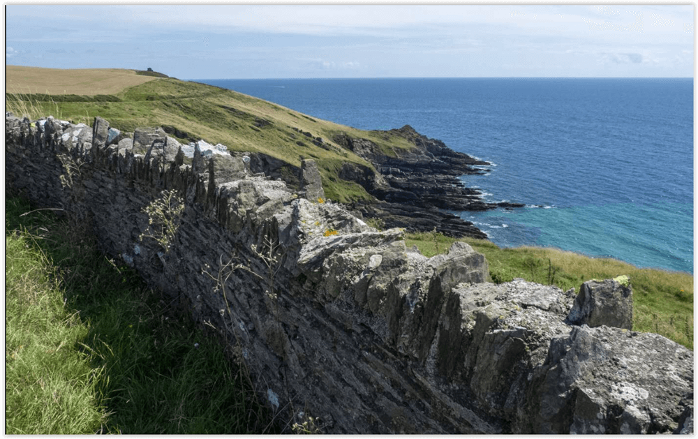
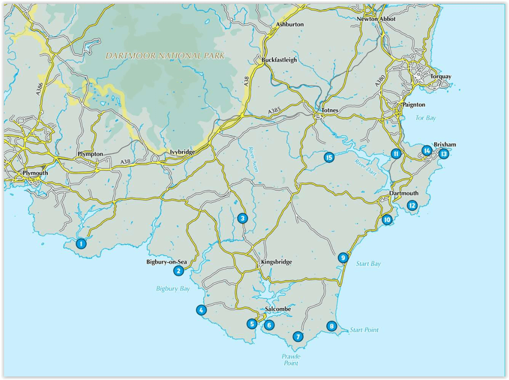
Productomschrijving: Would you like to explore the best of Salcombe, Brixham and the coast? This guidebook covers 15 of the best short walks in South Devon (all under three hours), including Start Point, Bigbury-on-Sea, Hope Cove and Bolberry Down, Brixham and Berry Head and Dartmouth Castle.
Why choose this guidebook?
- Easy to moderate walks suitable for almost everyone
- Short climbs but no challenging terrain
- Numbered points which tie OS maps to clear route description
- Facilities, parking and highlights for every route
- Route Summary Table to help you choose your walk
- Cicerone’s Short Walks guidebooks contain everything you need to get outdoors and discover the best of an area. The routes are perfect if you’re new to walking or looking for something you can enjoy with the whole family. Let the adventures begin!
Artikelen uit dezelfde regio

Wandelkaart 201 Plymouth & Launceston England - OSI • 9780319475249
Wandelkaart Plymouth & Launceston - South West England Productbeschrijving: Kaart nummer 201 in de OS Landranger kaarten reeks, is de ideale kaart om te gebruiken bij het plannen van excursies naar Plymouth, Launceston, Tavistock en Looe. Plymouth houdt vele attracties met zijn rijke maritieme geschiedenis en het aantrekkelijke landschap eromheen. Hoogtepunten van het gebied zijn onder and…

Wandelkaart OL28 Dartmoor National Park - OS • 9780319264034
Wandelkaart Dartmoor National Park - OS Productomschrijving: Dartmoor National Park, Devon England. Ontdek de OL-serie van Ordnance Survey: De OL-serie (Outdoor Leisure) van Ordnance Survey is dé referentie voor wie gaat wandelen op de Britse eilanden. Deze topografische kaarten maken deel uit van de Explorer-reeks en bieden ongeëvenaarde nauwkeurigheid en detail op een schaal van 1:…

Reisgids Go Slow Cotswolds (AONB) - Bradt travel guides • 9781804691717
Reisgids Cotswolds - Bradt Productomschrijving: In deze nieuwe, grondig bijgewerkte 3e editie van Bradt's The Cotswolds, onderdeel van Bradt's kenmerkende 'Slow travel' serie van gidsen over Britse regio's, deelt lokale inwoner en ervaren reisschrijfster Caroline Mills haar favoriete plekken in een regio die onverminderd populair is. Op basis van meer dan 50 jaar wonen in de Cotswolds, en …

Wandelkaart 114 Exeter & Exe Valley- Devon - OSI • 9780319469941
Wandelkaart Exeter & The Exe Valley - Devon England - OSI Productbeschrijving: Kaart nummer 114 in de OS Explorer reeks heeft betrekking op de Exeter vallei ten noorden van de stad van Exeter in Devon. Onderdelen van Exmoor en Dartmoor nationale parken zijn opgenomen in de kaart, samen met de Exe Valley way en Two Moors Way. Andere hoogtepunten van het gebied zijn Crediton, Tiverton Tivert…
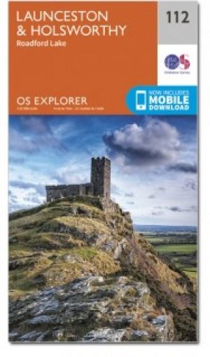
Wandelkaart 112 Launceston & Holsworthy- Devon - OSI • 9780319243138
Wandelkaart Launceston & Holsworthy - Devon England - OSI Productomschrijving: - Roadford Lake. Kaart nummer 112 omvat Holsworthy en Launceston. Hoogtepunten zijn Dartmoor National Park, Tamar Valley en Roadford Lake. Omvat ook Sheepwash, Milton Abbot, Lifton en Chapmans Well. De OS Explorer kaart voor Launceston & Holsworthy is beschikbaar in zowel de standaard papieren versie als de …