

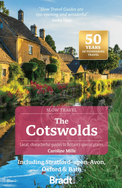
Reisgids Go Slow Cotswolds (AONB) - Bradt travel guides
Incl. Stratford-upon-Avon- Oxford & Bath
Korte omschrijving
Reisgidsen South West England van Bradt guides. Ideaal voor tochten in England.
Reisgids Cotswolds - Bradt Productomschrijving: In deze nieuwe, grondig bijgewerkte 3e editie van Bradt's The Cotswolds, onderdeel van Bradt's kenmerkende 'Slow travel' serie van gidsen over...

Specificaties
- Uitgever: Bradt guides
- ISBN-13: 9781804691717
- HOOFDCATEGORIEËN: Reisgids
- Activiteiten: Toerisme
- Auteur: Caroline Mills
- Regio: South West England
- Land: England
- AONB - Area of Outstanding Beauty/National Landscape: Cotswolds AONB
- Editie: 3
- Taal: Engels
- Reeks/Serie: Go slow, Bradt guides
Volledige omschrijving
Reisgids Cotswolds - Bradt
Productomschrijving: In deze nieuwe, grondig bijgewerkte 3e editie van Bradt's The Cotswolds, onderdeel van Bradt's kenmerkende 'Slow travel' serie van gidsen over Britse regio's, deelt lokale inwoner en ervaren reisschrijfster Caroline Mills haar favoriete plekken in een regio die onverminderd populair is. Op basis van meer dan 50 jaar wonen in de Cotswolds, en met een combinatie van boeiende verhalen uit de eerste hand met gezaghebbend advies, vertraagt Mills de lezer en helpt hen diep te duiken in een reeks van regio's: het Cotswolds National Landscape Area of Outstanding Natural Beauty (AONB).
Engelse omschrijving: In this new, thoroughly updated third edition of Bradt’s The Cotswolds, part of Bradt’s distinctive ‘Slow travel’ series of guides to UK regions, local resident and experienced travel writer Caroline Mills shares her favourite places in a region that remains as popular as ever. Drawing on more than 50 years’ living in the Cotswolds, and combining engaging first-person narrative with authoritative advice, Mills slows readers down and helps them delve deeply into a range of regions: the Cotswolds National Landscape Area of Outstanding Natural Beauty (AONB)
Omvat: The Cotswold escarpment, hills and valleys, the Wiltshire Cotswolds and the area known as the Four Shires, three Cotswold ‘gateways’ (Stratford-upon-Avon, Bath and Oxford), the lesser-known ‘hidden’ fringes of the Cotswolds, and – new for this edition – the Oxfordshire Cotswolds, which follow much of the youthful Thames Valley, and the Cotswold Way National Trail.
The Cotswolds’ rich man-made heritage includes Oxford University (the world’s oldest), many famous castles and country houses (including Blenheim Palace and Sudeley Castle), well-known abbeys such as Prinknash, and estates including Westonbirt Arboretum and Highgrove (the private home of King Charles III and the Queen Consort).
Roman history is covered too, notably in Bath and Cirencester, together with the Fosse Way, one of the UK’s most important Roman roads. The guide adds colour through interviews with local residents who bring character to the region; activities to try with children; handpicked places to eat, drink and stay (from glamping and country-house hotels to B&Bs on working farms); coverage of the Arts & Crafts movement; numerous options for car-free travel; and quirky events such Gloucestershire’s annual cheese-rolling competition and Tetbury’s Woolsack Races.
With a harmonious combination of quintessentially English villages, charming provincial market towns, appealing countryside and a wealth of local food-and-drink producers makes the Cotswolds an all-year-round destination, whether for a day trip, a quiet weekend away or a multi-week holiday. Whether your interests comprise formal gardens or crafts, historic buildings or horseriding, walking or gastronomy, Bradt’s Cotswolds (Slow Travel) is your perfect guide to facilitate in-depth exploration and intense enjoyment.
Artikelen uit dezelfde regio

Reisgids Bath- Bristol & Somerset - Rough Guides • 9781839059841
Bath- Bristol & Somerset - Rough Guides Productomschrijving: De regio van somerset in Zuid west Engeland, biedt u in deze gids de uitlopers van Exmoor nationaal park, Bath, Bristol en de volledige regio Somerset. Engelse omschrijving: From the genteel Georgian terraces of Bath to the wilderness expanses of Exmoor NP, the fully updated The Rough Guide to Bath, Bristol & Somerset provide…

Wandelkaart South West Coast Path 2 - Harvey maps • 9781851376827
South West Coast Path 2 - Harvey maps Productomschrijving: Het South West Coast path is een 1014 km lang langeafstandspad en het langste nationale pad in Engeland. Het pad strekt zich uit van Minehead in Somerset tot Poole in Dorset, inclusief Land's End en de prachtige zuidkust van Cornwall. Dit deel van de route brengt u van St-Ives naar Plymouth. Engelse omschrijving: The Sou…
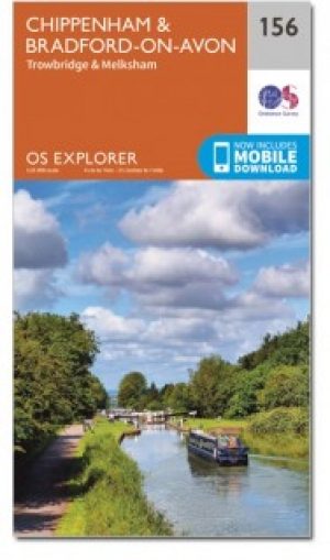
Wandelkaart 156 Chippenham & Bradford-on-Avon- Wiltshire - OSI • 9780319470282
Wandelkaart Chippenham & Bradford-on-Avon - Wiltshire Omvat ook: Trowbridge & Melksham. Productbeschrijving: Kaart nummer 156 in de OS Explorer reeks heeft betrekking op een gedeelte van de North Wessex Downs AONB en Cotswolds rond Melksham en Bradford-on-Avon. Hoogtepunten van het gebied zijn de steden Chippenham en Trowbridge samen met de Macmillan way en White Horse Trail. De OS Exp…
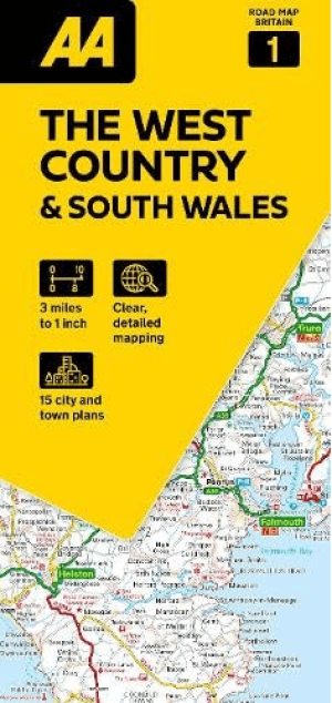
Landkaart Wegenkaart 01 West Country & Wales Zuid - AA Road Maps • 9780749584641
Wegenkaart 01 West Country & Wales Zuid - AA Road Maps Productomschrijving: AA Road Map West Country & South Wales is a practical and slimline, foldable map from the experts at the AA. Encased in a durable, weatherproof cover, the mapping is produced at a scale of 3 miles to 1 inch (1:200,000 / 2km to 1cm) combining clear design, an easy-to-read scale and more road detail to ensure that yo…
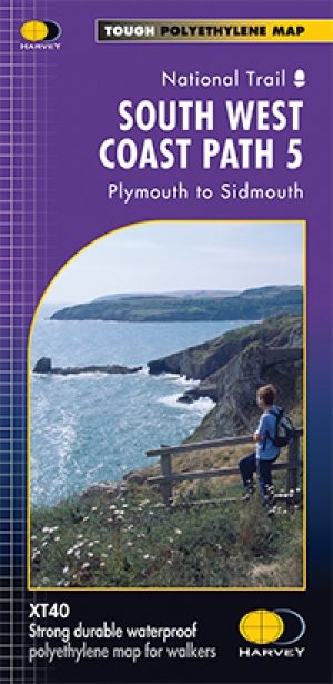
Wandelkaart - South West Coast Path 5 - Harvey maps • 9781851374427
Wandelkaart - South West Coast Path 5 - Harvey maps Productomschrijving: Waterdichte XT40 kaart van Harvey. Een ideale kaart voor wandelaars op de langste en op één van haar meest populairste nationale routes. Het loopt langs de kust van Somerset, Cornwall en Devon, Dorset van Minehead round via Land's end naar Poole. Het omvat alle 95 mijls van het World Heritage site bekend als de Jurass…