

Wandelgids Sarsen Way Guidebook - Cicerone
Coate Water Park - Salisbury - Cranborne Droves Way - Win Green
Korte omschrijving
Wandelgidsen Wiltshire, West England, Salisbury, England en Avebury, England van CICERONE Press. Ideaal voor tochten in England.
Wandelgids Sarsen Way Guidebook - Cicerone Productomschrijving: Gids over de Sarsen Way (79 km) van Coate Water Park naar Salisbury en de Cranborne Droves Way (28 km) die Salisbury verbindt ...

Specificaties
- Uitgever: CICERONE Press
- ISBN-13: 9781786311269
- HOOFDCATEGORIEËN: Wandelgids
- Activiteiten: Wandelen, Hiking & Trekking
- Auteur: Steve Davison
- Regio: Avebury, England, Salisbury, England, Wiltshire, West England
- Land: England
- UNESCO werelderfgoed: Stone Hendge, Avebury England
- AONB - Area of Outstanding Beauty/National Landscape: North Wessex Downs AONB
- Editie: 1
- Taal: Engels
Volledige omschrijving
Wandelgids Sarsen Way Guidebook - Cicerone
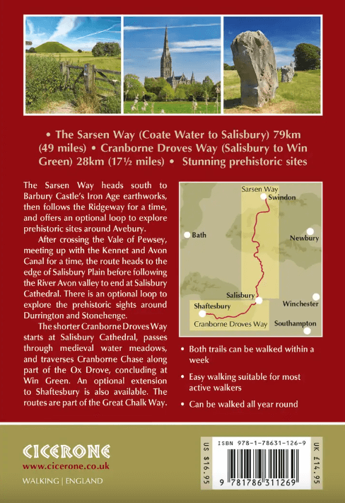
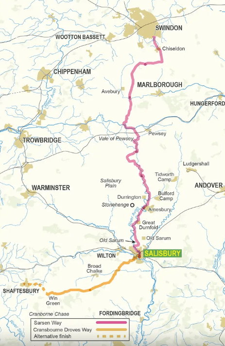
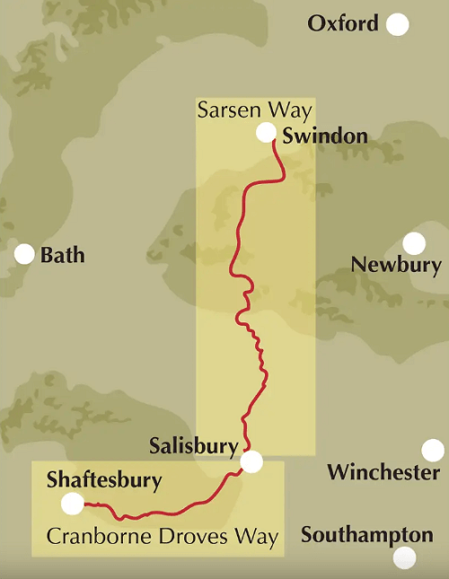
Productomschrijving: Gids over de Sarsen Way (79 km) van Coate Water Park naar Salisbury en de Cranborne Droves Way (28 km) die Salisbury verbindt met de Wessex Ridgeway bij Win Green. Deze langeafstandspaden maken deel uit van de Great Chalk Way. Beide kunnen in een week gelopen worden en zijn geschikt voor alle niveaus.
De routes worden gepresenteerd in 8 etappes, variërend van 10,5 km tot 17,3 km. Er zijn ook omgekeerde routebeschrijvingen opgenomen.
Engelse omschrijving: Guidebook to the Sarsen Way (79km) from Coate Water Park to Salisbury and the Cranborne Droves Way (28km) connecting Salisbury to Wessex Ridgeway at Win Green. These long-distance paths are part of the Great Chalk Way. Both can be walked in a week and are suitable for all abilities.
The routes are presented in 8 stages, ranging from 10.5km to 17.3km. Reverse route descriptions are also included.
- Step-by-step route descriptions plus 1:50k OS mapping
- Centres include Swindon, Chiseldon, Avebury, Durrington, Amesbury, Great Durnford, Old Sarum, Salisbury, Shaftesbury
- Comprehensive planning information and notes on sites along the route
- GPX files available to download
- The compact format is conveniently sized for slipping into a jacket pocket or the top of a rucksack.
Locatie op kaart
Artikelen uit dezelfde regio

Wandelgids Cotswolds AONB 50 walks guide - AA Publishing • 9780749583224
Cotswolds AONB - 50 walks guide - AA Publishing Productomschrijving: Wandelen is een van de favoriete vrijetijdsbestedingen van Groot-Brittannië. AA 50 Walks in the Cotswolds bevat een verscheidenheid aan uitgestippelde wandelingen van 3 tot 12 km, geschikt voor alle niveaus. Het boek bevat alle praktische details die u nodig hebt, vergezeld van boeiende achtergrondinformatie over de gesch…

Wandelkaart 143 Warminster & Trowbridge- Wiltshire - OSI • 9780319470152
Wandelkaart Warminster & Trowbridge - Wiltshire England Productbeschrijving: Kaart nummer 143 in de OS Explorer kaarten reeks heeft betrekking op het westen van Wiltshire, alsook Cranbone Chase & West Wiltshire Downs. Hoogtepunten van het gebied zijn onder andere: Mid Wilts Way, Wessex Ridgeway, Monarch Way en Imber Range Perimeter Path. De OS Explorer kaart voor Warminster & Trowbridge is…
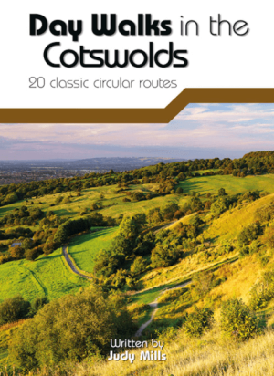
Wandelgids Day Walks in the Cotswolds AONB - Vertebrate Publ. • 9781910240991
Day Walks in the Cotswolds AONB - Vertebrate Productomschrijving: Day Walks in the Cotswolds by Judy Mills features 20 circular routes suitable for hillwalkers of all abilities. Together with stunning photography, each route features Ordnance Survey 1:25,000 maps, easy-to-follow directions, distance and navigation information, refreshment stops and local information. Split across thre…

Wandelkaart 143 Warminster & Trowbridge - Wiltshire - OSI • 9780319243367
Wandelkaart Warminster & Trowbridge - Wiltshire England Omvat ook: Westbury & Mere. Productbeschrijving: Kaart nummer 143 in de OS Explorer kaarten reeks heeft betrekking op het westen van Wiltshire, als ook Cranbone Chase & de West Wiltshire Downs. Hoogtepunten van het gebied zijn onder andere: Mid Wilts Way, Wessex Ridgeway, Monarch's Way en Imber Range Perimeter Path. De OS Explorer…
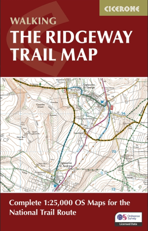
The Ridgeway Map Booklet - Cicerone Press • 9781786312921
The Ridgeway Map Booklet - Cicerone Engelse Productomschrijving: Map of the 87 mile (139km) Ridgeway National Trail through the south of England from Avebury in Wiltshire to Ivinghoe Beacon in Buckinghamshire. This booklet is included with the Cicerone guidebook to the trail, and shows the full route on Ordnance Survey 1:25,000 maps. Presented in 12 stages in the guidebook, the trail typic…