

The Ridgeway Map Booklet - Cicerone Press
Avebury, Swindon, Marlborough, Wantage, Streatley, Goring....
Korte omschrijving
Wandelgidsen South & South East England, Wiltshire, West England en Buckinghamshire, England van CICERONE Press. Ideaal voor tochten in England.
The Ridgeway Map Booklet - Cicerone Engelse Productomschrijving: Map of the 87 mile (139km) Ridgeway National Trail through the south of England from Avebury in Wiltshire to Ivinghoe Beacon ...

Specificaties
- Uitgever: CICERONE Press
- ISBN-13: 9781786312921
- HOOFDCATEGORIEËN: Map/Booklet
- Activiteiten: Wandelen, Hiking & Trekking
- Auteur: Steve Davison
- Regio: Buckinghamshire, England, South & South East England, Wiltshire, West England
- Land: England
- AONB - Area of Outstanding Beauty/National Landscape: Chiltern Hills AONB, North Wessex Downs AONB
- Schaal: 1:25000
- Editie: 2
- Taal: Engels
- De Engelse Graafschappen: Buckinghamshire, Wiltshire
- National Trails UK, England & Wales: RidgeWay, England
Volledige omschrijving
The Ridgeway Map Booklet - Cicerone
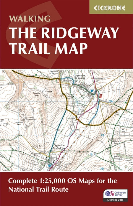
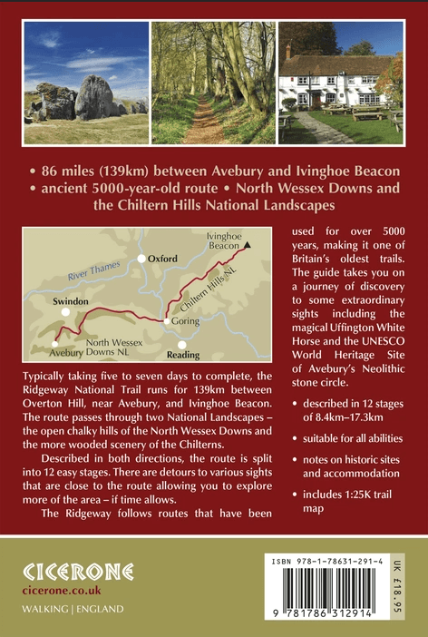
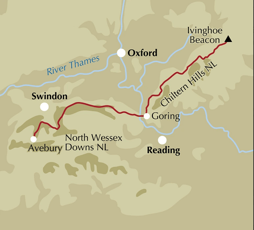
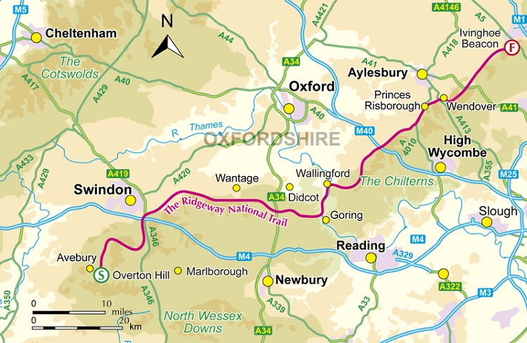
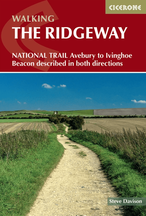
Engelse Productomschrijving: Map of the 87 mile (139km) Ridgeway National Trail through the south of England from Avebury in Wiltshire to Ivinghoe Beacon in Buckinghamshire. This booklet is included with the Cicerone guidebook to the trail, and shows the full route on Ordnance Survey 1:25,000 maps. Presented in 12 stages in the guidebook, the trail typically takes 6-8 days.
Seasons:
Can be undertaken at any time of the year, although the weather and ground conditions are better from spring through to the end of autumn (from colourful displays of flowers in spring to the dramatic tree colours of autumn); a frosty or snowy day on the Ridgeway can be magical - but daylight hours are shorter.
Centres:
Avebury, Swindon, Marlborough, Wantage, Streatley, Goring, Wallingford, Watlington, Chinnor, Princes Risborough, Wendover and Tring.
Difficulty:
A fairly low-level (never going above 300m) waymarked walk that follows mostly good tracks and paths, suitable for all abilities.
Must See:
Two contrasting AONBs: the wide open, chalky North Wessex Downs and the more wooded, intimate landscape of the Chilterns, the stone circle at Avebury to Wayland's Smithy Neolithic burial mound and the Uffington White Horse, great views, short excursions to picturesque towns.
Artikelen uit dezelfde regio

Wandelkaart OL22 New Forest- Southampton & Ringwood - OSI • 9780319475782
Wandelkaart New Forest national park - Southampton - OSI Productomschrijving: Kaart nummer OL22 in de OS Explorer kaartenserie is de perfecte kaart voor vakantiegangers en dagjesmensen om te gebruiken bij een bezoek aan het New Forest Nationaal Park in West Engeland. Het nationale park is beroemd om zijn uitstekende wandelingen en ritten en is de thuisbasis van New Forest pony's en heidela…

Wandelkaart XT40 South West Coast Path 1 - Harvey maps • 9781851375547
Wandelkaart - South West Coast Path 1 - XT40 - Harvey maps Productomschrijving: Een wandelkaart die het zuidelijk deel beschrijft van het LAW wandelpad in de regio Devon / Cornwall, van Minehead tot St-Ives. De route telt in zijn geheel maar liefst 1014km lange wandelpad, genaamd "West Coast Path". De gehele route werd opgesplitst in 3 delen, De ISBN nrs van alle drie de kaarten zijn hiero…
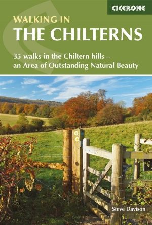
Wandelgids - Chilterns walking guide - Cicerone • 9781786310187
Wandelgids - Chilterns walking guide - Cicerone Productomschrijving: Deze plaats werd geklasseerd als gebied van uitmuntende schoonheid, of in Engelse termen beter gezegd, een "Area of Oustanding Natural Beauty". Gelegen ten westen van de hoofdstad lonon is dit een soort getaway voor de londonaars die de stad even moe zijn, en de natuur willen opsnuiven. Steve Davison, is de auteur die dez…

Wandelgids - North Downs Way - Map Booklet - Cicerone • 9781852849559
Wandelgids - North Downs Way - Map Booklet - Cicerone Productomschrijving: Kaart van de 208km, over de North Downs Way National Trail, tussen Farnham en Dover, met inbegrip van een optioneel bezoek aan Canterbury. Dit boekje is opgenomen in de Cicerone gids en toont het volledige parcours op OS 1: 25.000 kaarten. Een van de eenvoudigere nationale routes, dat comfortabel kan worden gelopen …

Wandelgids The Kennet and Avon Canal walk - Cicerone • 9781786312303
The Kennet and Avon Canal walk - Cicerone Productomschrijving: Wandelgids langs het Kennet & Avon kanaal. De 151 Km lange route van Reading naar Bristol is verdeeld in 7 etappes van redelijk gemakkelijke wandelingen en omvat het UNESCO werelderfgoed Bath en de drijvende haven van Bristol. Er zijn ook 20 rondwandelingen opgenomen, variërend van 4¼ tot 9 mijl, waarbij de beste delen van het …