

Wandelgids Mardale and the Far East - Cicerone
Deze gids maakt deel uit van de serie "Walking the Lake District"


Korte omschrijving
Wandelgidsen Noord Engeland van CICERONE Press. Ideaal voor tochten in England.
Wandelgids - Mardale and the Far East - Cicerone Productomschrijving: Deze gids maakt deel uit van de serie "Walking the Lake District Fells" en behandelt een breed scala aan routes naar 36 ...

Specificaties
- Uitgever: CICERONE Press
- ISBN-13: 9781786310354
- Activiteiten: Wandelen, Hiking & Trekking
- Auteur: Mark Richards
- Regio: Noord Engeland
- Land: England
- Nationale parken: Lake District NP, Cumbria England
- Editie: 2
- Taal: Engels
Volledige omschrijving
Wandelgids - Mardale and the Far East - Cicerone
Productomschrijving: Deze gids maakt deel uit van de serie "Walking the Lake District Fells" en behandelt een breed scala aan routes naar 36 Lakeland-toppen die kunnen worden beklommen vanuit de valleien van Ullswater, Haweswater, Troutbeck, Kentmere en Longsleddale, met hoogtepunten zoals High Street, Place Fell en Kentmere fells. Suggesties voor langere nokroutes zijn ook opgenomen.
Engelse omschrijving: Part of the Walking the Lake District Fells series, this guidebook covers a wide range of routes to 36 Lakeland summits that can be climbed from the Ullswater, Haweswater, Troutbeck, Kentmere and Longsleddale valleys, with highlights including High Street, Place Fell and the Kentmere fells. Suggestions for longer ridge routes are also included.
SeasonsYear-round walking. Winter walks, even on the lower fells, are not for the inexperienced or under-equipped. Centres Haweswater, Bampton, Shap, Tebay, Grayrigg, Sadgill/Longsleddale, Kentmere, Troutbeck, Ambleside, Hartsop, Patterdale, Howtown, Pooley Bridge, Askham Difficulty
Straightforward ascents on sometimes clear, sometimes faint paths, and occasionally pathless terrain, to be used as a basis for readers' own walks. Navigational skills are needed but no specialist equipment. Any scrambling is easy and non-scrambling alternatives are always provided. Must See
Explore the classic summits in the Lakes such as High Street, Place Fell and the Kentmere fells, and an inspiring introduction to lesser-known Lakeland fells, including the 2016 new additions to the national park, Whinfell Beacon, Grayrigg Forest and Winterscleugh

Locatie op kaart
Artikelen uit dezelfde regio
Reisgids Noord Engeland & Wales - Lannoo • 9789020927832
Reisgids Noord-Engeland & Wales (Lannoo Trotter) Productomschrijving: Noord-Engeland en Wales beloven ruige kusten, stoere steden, stille valleien en pubs waar de tijd stilvalt. Deze Lannoo Trotter Reisgids Noord-Engeland & Wales helpt je niet alleen “gaan”, maar echt reizen. Zonder toeristen-bingo. Zonder eindeloos zoeken. Gewoon: kiezen, vertrekken, beleven. De eerlijke Trotter-gids voor…
Wandelgids The Wainwright route - Rucksack readers • 9781898481829
Wandelgids - The Wainwright route- coast tot coast walking Productomschrijving: This challenging walk of 184 miles (296 km) crosses the north of England from St Bees on the Cumbria coast to Robin Hood’s Bay on the North Sea. It passes through three National Parks – the Lake District, Yorkshire Dales and North York Moors – with splendidly varied scenery. Many walkers complete it within 12 t…
Wandelgids Northern England Backpacker's - Cicerone • 9781852843205
Wandelgids - Northern England Backpacker's - Cicerone Productomschrijving: Een gids van 25 wandelroutes voor grote backpacker overal in Noord-Engeland van de Yorkshire Dales en het Forest of Bowland, het Lake District, de Pennines, en tot de Cheviots op de Schotse grens. Taaie routes te doen in een dag, maar wel goede tweedaagse uitstapjes op externe plaatsen. Een full-color gids voor 25 g…
Wandelgids The Coast to Coast Map Booklet - Cicerone • 9781852849269
Wandelgids - The Coast to Coast Map Booklet - Cicerone Productomschrijving: Deze wandelgids toont u de 300km lange Coast to Coast Walk, een populaire interlokale trail in Noord-Engeland, die vertrekt uit St Bees Head in Cumbria naar Robin Hood's Bay aan de kust van Yorkshire. Product description: This map booklet shows the 190 mile (300km) Coast to Coast Walk, a popular long distance …
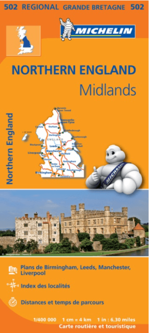
Landkaart Wegenkaart 502 Engeland Noord & Midlands - Michelin • 9782067183230
Regionale Wegenkaart Noord Engeland & the Midlands Productomschrijving: De volledig bijgewerkte MICHELIN-kaart van Engeland Noord, Midlands geeft u alle WEG- EN TOERISME-informatie die u nodig hebt om uw reizen in deze regio te optimaliseren: een INDEX VAN LOCATIES, een TABEL VAN AFSTANDEN en REISTIJDEN. Dankzij de schaal van 1:400.000 (1 cm = 4 km) kun je zowel de hoofdwegen als de klein…