

Wandelgids The Wainwright route - Rucksack readers
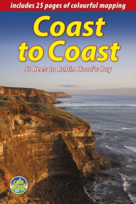
St Bees to Robin Hood's Bay - 296 km
Korte omschrijving
Wandelgidsen Noord Engeland van RUCKSACK READERS. Ideaal voor tochten in United Kingdom, Great Britain en England.
Wandelgids - The Wainwright route- coast tot coast walking Productomschrijving: This challenging walk of 184 miles (296 km) crosses the north of England from St Bees on the Cumbria coast to ...

Specificaties
- Uitgever: RUCKSACK READERS
- ISBN-13: 9781898481829
- HOOFDCATEGORIEËN: Wandelgids
- Activiteiten: Wandelen, Hiking & Trekking
- Regio: Noord Engeland
- Land: England, United Kingdom, Great Britain
- Schaal: 1:55000
- Editie: 2
- Taal: Engels
Volledige omschrijving
Wandelgids - The Wainwright route- coast tot coast walking
Productomschrijving: This challenging walk of 184 miles (296 km) crosses the north of England from St Bees on the Cumbria coast to Robin Hood’s Bay on the North Sea. It passes through three National Parks – the Lake District, Yorkshire Dales and North York Moors – with splendidly varied scenery. Many walkers complete it within 12 to 16 days, although some divide it into two separate week-long walks. Devised by the legendary Alfred Wainwright, the Coast to Coast is justly famous as England's most popular walk. It is waymarked, has plenty of accommodation and features welcoming pubs. Both its ends and two midpoints (Kirkby Stephen and Richmond) are accessible by public transport.
The new edition features many photographs by the award-winning landscape photographer Karen Frenkel. It also has freshly commissioned mapping, which appears on 25 of its 126 pages. It covers many more route options than before, but it weighs only 295g/10 oz. It contains all that a walker needs:
concise directions (revised 2018) for the route walked west to east
25 pages of easy-to-follow mapping (1:55,000)
altitude profiles for each section and for route options
background on geology, history and wildlife
pros and cons of high-level route options
ten top tips from experienced Coast-to-Coasters
bonus content free to download
contact details for accommodation and transport
features on St Bees, Grasmere, Richmond and Robin Hood’s Bay
over 150 superb colour photographs
rainproof, rucksack-friendly format.
.png)
Locatie op kaart
Artikelen uit dezelfde regio
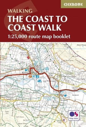
Wandelgids The Coast to Coast Map Booklet - Cicerone • 9781852849269
Wandelgids - The Coast to Coast Map Booklet - Cicerone Productomschrijving: Deze wandelgids toont u de 300km lange Coast to Coast Walk, een populaire interlokale trail in Noord-Engeland, die vertrekt uit St Bees Head in Cumbria naar Robin Hood's Bay aan de kust van Yorkshire. Product description: This map booklet shows the 190 mile (300km) Coast to Coast Walk, a popular long distance …
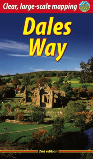
Wandelgids The Dales Way, 2e Editie - Rucksack Readers • 9781913817336
The Dales Way - Rucksack Readers Productomschrijving: This charming walk runs for 79 miles (127 km) from Ilkley in the Yorkshire Dales to Bowness in the Lake District. The route heads north through Wharfedale, crisscrossing the river, and rises over high moorland to pick up River Dee through Dentdale. It joins River Lune briefly before heading west to Bowness on Lake Windermere. The LDWA …
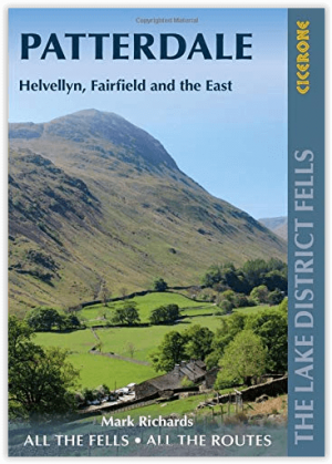
Wandelgids Patterdale- Lake District Fells - Cicerone • 9781786310347
Wandelgids Patterdale- Lake District Fells - Cicerone Productomschrijving: Deze gids maakt deel uit van de serie "Walking the Lake District Fells" en behandelt een breed scala aan routes naar 35 Lakeland-toppen die kunnen worden beklommen vanuit Ambleside, Grasmere en Patterdale en de valleien van Thirlmere en Ullswater, met hoogtepunten als Helvellyn en Fairfield. Suggesties voor langere …
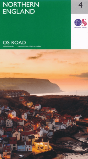
Landkaart Wegenkaart 4 Engeland Noord - OSI • 9780319263761
Wegenkaart Noord Engeland - OSI Productomschrijving: Plan your journey with this series of road maps from OS. Showing all major road, rail and ferry links as well as settlements and selected features in 1: 250 000 scale, this is the ideal map for planning trips and holidays by car or cycle. OS Road 4 covers: Northern England, including the Lake District, North York Moors Liverpool and…
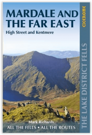
Wandelgids Mardale and the Far East - Cicerone • 9781786310354
Wandelgids - Mardale and the Far East - Cicerone Productomschrijving: Deze gids maakt deel uit van de serie "Walking the Lake District Fells" en behandelt een breed scala aan routes naar 36 Lakeland-toppen die kunnen worden beklommen vanuit de valleien van Ullswater, Haweswater, Troutbeck, Kentmere en Longsleddale, met hoogtepunten zoals High Street, Place Fell en Kentmere fells. Suggestie…