

Wandelgids Kent walking guide - Cicerone
The Weald- Kent Downs- Greensand Hills
Korte omschrijving
Wandelgidsen Kent South East England van CICERONE Press. Ideaal voor tochten in England.
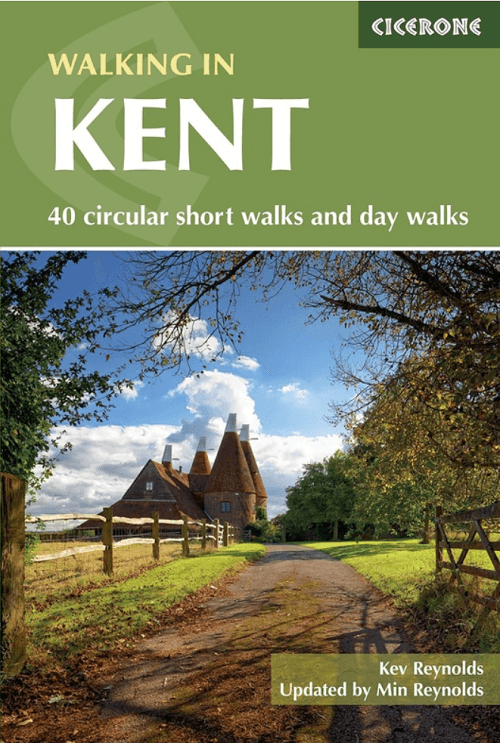
Kent walking guide - Cicerone. 40 circular short walks and day walks Productomschrijving: A guidebook describing 40 walks in the county of Kent. Covering west Kent and The Weald and nort...

Specificaties
- Uitgever: CICERONE Press
- ISBN-13: 9781786312822
- HOOFDCATEGORIEËN: Wandelgids
- Activiteiten: Wandelen, Hiking & Trekking
- Auteur: Kevin Renolds
- Regio: Kent South East England
- Land: England
- Editie: 5
- Taal: Engels
- Reeks/Serie: National Trails, UK
- De Engelse Graafschappen: Kent
Volledige omschrijving
Kent walking guide - Cicerone.
40 circular short walks and day walks
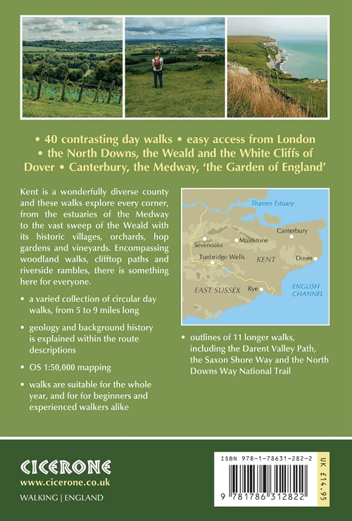
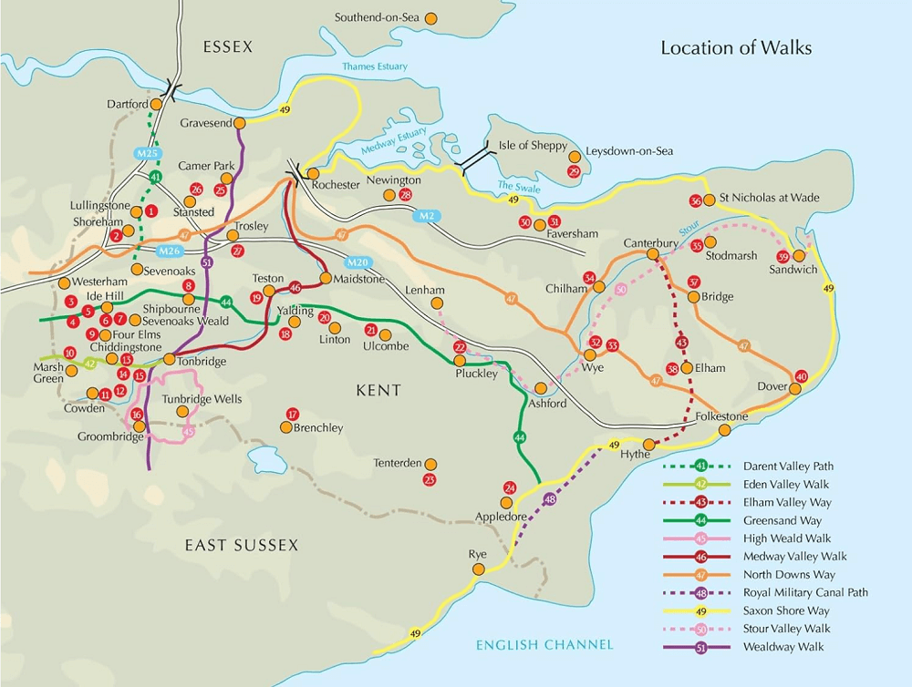
Productomschrijving: A guidebook describing 40 walks in the county of Kent. Covering west Kent and The Weald and north and east Kent, including the Kent Downs and the Greensand Hills. Walks of 5 to 9 miles explore rivers and coastline, beautiful countryside and historic villages. With outlines of 11 longer walks ranging from 15 to 163 miles.
Seasons:
It is possible to walk in Kent all year round.
Centres:
Sevenoaks, Westerham, Faversham, Canterbury, Wye, Tenterden, Sandwich, Appledore, Dover.
Difficulty:
The walks are suitable for all abilities, and are perfect for days out and getting 'away from it all'. No specialised equipment or clothing required.
Must See:
North Downs; greensand hills; vineyards, orchards and farms of the Weald; dramatic coastal cliffs; marshland and land that once was sea; riverside walks along the Medway; historic buildings and ancient sites.
Artikelen uit dezelfde regio

Wandelkaart 125 Romney Marsh Rye & Winchelsea - OSI • 9780319243213
Wandelkaart Romney Marsh- Rye & Winchelsea - OSI Omvat ook: Rye & Winchelsea Tenterden & New Romney. Productbeschrijving: Kaart nummer 125 in de OS Explorer kaarten reeks omvat High Weald tussen East Sussex en Kent aan de zuidkust van Engeland. De kaart beslaat een gebied van Tenterden, New Romney en Rye en omvat wandelingen zoals de Saxon Shore Way, die ook de 1066 country en Sussex g…

Wandelkaart 138 Dover Folkstone & Hythe Kent - OSI • 9780319243312
Wandelkaart Dover- Folkstone & Hythe - Kent - OSI Productomschrijving: Grotendeels gekend voor zijn aankomst van de ferries zoals townsend Torisson, en andere rederijen. Maar Dover is uiteraard ook een dorp, en gelegen naast Folkstone, die samen een prachtige kustlijn bevatten. 138 / Dover, Folkstone & Hythe, Kent, England - In het verre zuidoosten van Engeland op grens van Dover en F…

Fietsgids South East Mountain Biking - Vertebrate Publ. • 9781906148638
South East Mountain Biking - Vertebrate Productomschrijving: South East Mountain Biking - North and South Downs contains 24 routes between 16 and 35 km in length that are suitable for all levels of mountain bikers. Each route features industry-standard 1:50,000 Ordnance Survey maps, easy-to-follow directions, details of distance, times and difficulty and information on refreshment stops a…

Wandelgids 008 Pathfinder guides Kent - OS • 9780319090183
Wandelgids Kent South-East England - OS Productomschrijving: This walking guidebook for Kent has 28 great walks exploring coastal and inland Kent, including the Isle of Sheppey. Kent contains a wealth of history from Roman times to modern day, with many of the key sites visited on these pre-planned walks. Each walk includes easy-to-follow route directions and are accompanied by large-scal…

Wandelkaart 138 Dover Folkstone & Hythe Kent England - OSI • 9780319470107
Wandelkaart Dover- Folkstone & Hythe - Kent England - OSI Productbeschrijving: In het verre zuidoosten van Engeland, Dover, Folkstone en Hythe, grenst aan de Kent Downs, en Area of Outstanding Natural Beauty AONB. U kunt de beroemde White Cliffs of Dover zien, of verder landinwaarts gaan en traditionele dorpen en glooiende heuvels ontdekken. Dit gebied omvat ook een deel van de North Down…