

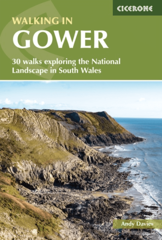
Wandelgids Gower walking South Wales - Cicerone
30 circular routes on the Gower peninsula AONB

Korte omschrijving
Wandelgidsen South Wales van CICERONE Press. Ideaal voor tochten in Wales.
Wandelgids Gower walking - Cicerone Productomschrijving: The 30 circular routes in this guide to walking on the Gower peninsula, an Area of Outstanding Natural Beauty in South Wales, cover ...

Specificaties
- Uitgever: CICERONE Press
- ISBN-13: 9781786312846
- HOOFDCATEGORIEËN: Wandelgids
- Activiteiten: Wandelen, Hiking & Trekking
- Auteur: Andy Davies
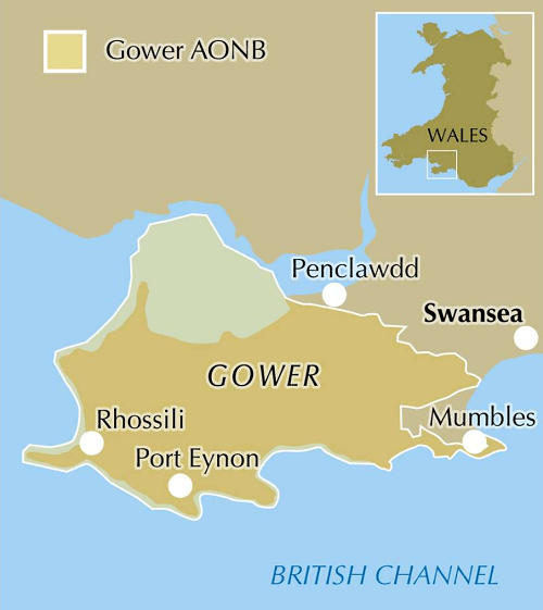
- Regio: South Wales
- Land: Wales
- AONB - Area of Outstanding Beauty/National Landscape: Gower AONB
- Editie: 3
- Taal: Engels
Volledige omschrijving
Wandelgids Gower walking - Cicerone
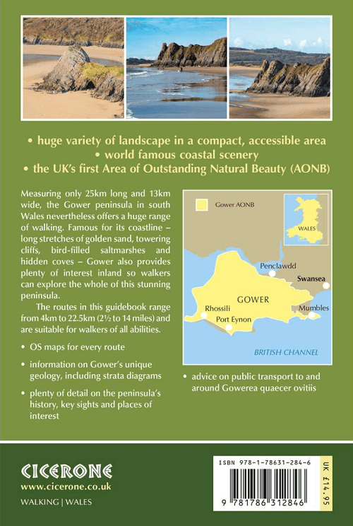
Productomschrijving: The 30 circular routes in this guide to walking on the Gower peninsula, an Area of Outstanding Natural Beauty in South Wales, cover the rugged coastline, beaches and inland valleys and ridges. The walks visit a variety of landscapes and range from 2½ to 14 miles long. Packed with historical and geological information.
Seasons:
Wild winter storms promise dramatic seascapes; in springtime cliffs and valleys are carpeted in flowers; summer months allow a refreshing dip along a coastal walk.
Centres:
Mumbles is the largest village at the eastern end of Gower.
Difficulty:
Only short ascents but some of the footpaths are uneven in places; a variety of routes with differing lengths to suit every ability.
Must See:
Gower is an exceptional area for coastal landscapes, wildlife and geology; scenic unspoilt beaches combine with a rich cultural history.
Locatie op kaart
Artikelen uit dezelfde regio
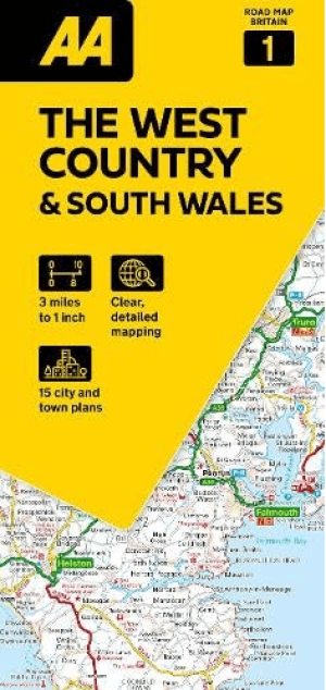
Landkaart Wegenkaart 01 West Country & Wales Zuid - AA Road Maps • 9780749584641
Wegenkaart 01 West Country & Wales Zuid - AA Road Maps Productomschrijving: AA Road Map West Country & South Wales is a practical and slimline, foldable map from the experts at the AA. Encased in a durable, weatherproof cover, the mapping is produced at a scale of 3 miles to 1 inch (1:200,000 / 2km to 1cm) combining clear design, an easy-to-read scale and more road detail to ensure that yo…

Landkaart Wegenkaart 7 Zuidwest Engeland & Zuid Wales - OSI • 9780319263792
Wegenkaart Zuidwest Engeland & Zuid Wales - OSI Productomschrijving: Plan your journey with this series of road maps from OS. Showing all major road, rail and ferry links as well as settlements and selected features in 1: 250 000 scale, this is the ideal map for planning trips and holidays by car or cycle. OS Road 7 covers: the south-west England plus south Wales, Devon & Cornwall. …
Wandelkaart OL013 Brecon Beacons National Parc East - OS • 9780319242520
Wandelkaart Brecon Beacons National Parc East - OS Productomschrijving: Brecon Beacons National Parc Eastern Area. Omvat: Brecon Beacons National Parc Eastern Area, Parc Cenedlaethol Bannau Brycheiniog (Ardal ddwyreiniol) Ontdek de OL-serie van Ordnance Survey: De OL-serie (Outdoor Leisure) van Ordnance Survey is dé referentie voor wie gaat wandelen op de Britse eilanden. Deze to…

Wandelkaart 166 Rhondda & Merthyr Tydfil - OSI • 9780319243596
Wandelkaart Rhondda & Merthyr Tydfil - South Wales Productbeschrijving: Kaart nummer 166 in de OS Explorer kaart reeks is de ideale kaart voor het ontdekken van de enorme ruimte van Rhondda en Merthyr Tydfil in Zuid-Wales. Net ten zuiden van de Brecon Beacons heeft dit gebied prachtige natuurschoon en vele wandelingen om te waarderen. Hoogtepunten van het gebied zijn onder andere: Aberdare…
Wandelkaart OL012 Brecon Beacons Nat. Parc West & Central areas • 9780319242513
Wandelkaart Brecon Beacons National Parc West & Centre Productomschrijving: Brecon Beacons National Parc Western & Central area. Parc Cenedlaethol Bannau Brycheiniog. Ontdek de OL-serie van Ordnance Survey: De OL-serie (Outdoor Leisure) van Ordnance Survey is dé referentie voor wie gaat wandelen op de Britse eilanden. Deze topografische kaarten maken deel uit van de Explorer-reeks en…