

Wandelgids Forth to Farne Way - Schotland - Rucksack Readers
De pelgrimsroute van 110 mijl begint vanuit North Berwick

Korte omschrijving
Wandelgidsen Edinburgh West Schotland, Lowland Scotland & Borders en Northumberland, Engeland van RUCKSACK READERS. Ideaal voor tochten in Schotland.
Wandelgids Forth to Farne Way - Schotland Productomschrijving: Deze inspirerende pelgrimsroute van 110 mijl begint vanuit North Berwick aan de Firth of Forth bij Edinburgh en gaat verder via...

Specificaties
- Uitgever: RUCKSACK READERS
- ISBN-13: 9781898481966
- HOOFDCATEGORIEËN: Wandelgids
- Activiteiten: Wandelen, Hiking & Trekking
- Auteur: Jacquetta Megarry, John Henderson
- Regio: Edinburgh West Schotland, Lowland Scotland & Borders, Northumberland, Engeland
- Land: Schotland
- Schaal: 1:30000
- Editie: 1
- Taal: Engels
Volledige omschrijving
Wandelgids Forth to Farne Way - Schotland
Productomschrijving: Deze inspirerende pelgrimsroute van 110 mijl begint vanuit North Berwick aan de Firth of Forth bij Edinburgh en gaat verder via de 12e-eeuwse kerk van Whitekirk naar Dunbar. Het volgt de Noordzeekust naar het adembenemende landschap van St-Abb's Head en bezoekt Coldingham Priory, misschien wel het belangrijkste benedictijnenklooster van Schotland. Geniet van indrukwekkende kliffen en dramatische zeestapels tussen bezoeken aan historische vissersdorpen. Steek de grens over en ga Berwick binnen met zijn wallen, muren en bruggen over de rivier de Tweed.
De route eindigt met een blootsvoets oversteek van het Holy Island-zand naar Lindisfarne, waar St-Aidan in 635 na Christus een klooster stichtte. De meeste mensen zullen de route binnen 5 tot 8 dagen voltooien.
Engelse omschrijving: This inspiring 70-mile pilgrim route starts from North Berwick on the Firth of Forth near Edinburgh, and continues via Whitekirk’s 12th century church to Dunbar. It follows the North Sea coastline to the stunning scenery of St Abb’s Head and visits Coldingham Priory, perhaps Scotland’s most important Benedictine monastery. Enjoy impressive cliffs and dramatic sea stacks between visits to historic fishing villages. Cross the border and enter Berwick with its ramparts, walls and bridges across the River Tweed. The route culminates with a barefoot crossing of the Holy Island sands to Lindisfarne, where St Aidan founded a monastery in AD 635.
Most people will complete the route within 5 to 8 days, staying in friendly B&Bs along the route, but it can also be done in several shorter expeditions using train and bus.
This 72-page guidebook contains all you need to plan and enjoy the Forth to Farne Way:
- Route detail in sections, with distance, terrain and refreshments
- Where to find food and accommodation
- Background on the spiritual dimension, geology and wildlife
- Planning information for travel by train, bus, car or plane
- 16 Pages with detailed route mapping at 1:30,000
- In full colour, with 135 photographs
- Rucksack-friendly and on rainproof paper.

Artikelen uit dezelfde regio

Reisgids Week-end Edinburgh - Michelin groene gids - Lannoo • 9789401457170
Week-end Edinburgh - Michelin groene gids - Lannoo Productomschrijving: Klein in formaat, groot in kwaliteit - De ideale gids voor wie slechts één compacte stadsgids in zijn tas wil stoppen en toch geen enkele bezienswaardigheid of topadres wil missen - Met een uitneembare stadsplattegrond - Elk hoofdstuk heeft zijn eigen kleur, zo vindt u feilloos de informatie die u zoekt. Edinburgh is e…

Wandelgids The Pennine Way - Trailblazer • 9781912716333
The Pennine Way 420 km - Trailblazer Productomschrijving: De Pennine Way, het bekendste nationale pad van Groot-Brittannië, slingert zich 420 km over woeste heidevelden en door stille dalen langs de ruggengraat van Noord-Engeland. Het begint in Edale in het Peak District en eindigt net over de grens in Schotland bij Kirk Yetholm. Dit prachtige wandelpad doorkruist 3 nationale parken - het …
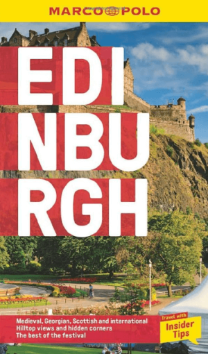
Reisgids Edinburgh Schotland (ENG) - Marco Polo • 9781917131025
Reisgids Edinburgh - Marco Polo Productomschrijving: Let Marco Polo Edinburgh guide you around this beautiful city. Discover boutique hotels, authentic restaurants and ideas for travel with kids with this handy, pocket-sized, authoritative guide, packed with Insider Tips. Let Marco Polo show you all this wonderful city has to offer.
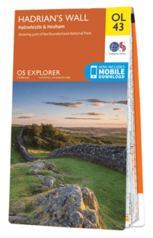
Wandelkaart OL43 Hadrian's Wall- Haltwhistle & Hexham - OS • 9780319263624
Wandelkaart Hadrian's Wall- Haltwhistle & Hexham - OS Productomschrijving: Topografische wandelkaart van Hadrian's Wall- Haltwhistle & Hexham. Omvat: Haltwhistle & Hexham, historic Hadrian's Wall path across Northern England, with parts of Northumberland National park & The Pennine Way. Ontdek de OL-serie van Ordnance Survey: De OL-serie (Outdoor Leisure) van Ordnance Survey is …
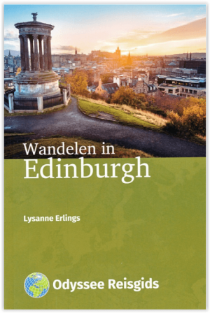
Wandelgids Wandelen in Edinburgh - Odyssee Reisgidsen • 9789461231505
Wandelen in Edinburgh - Odyssee Productomschrijving: Edinburgh is doordrenkt met geschiedenis. In Old Town leiden kronkelige straatjes je langs imposante architectuur en monumenten. De Royal Mile, van kasteel naar paleis, is wereldberoemd. Het 18de-eeuwse New Town met statige huizen vormt daarmee een fraai contrast. Edinburgh ligt aan zee, heeft talloze parken en is omgeven door heuvel…