

Wandelgids 084 Pathfinder Berkshire- Buckinghamshire- Oxfordshire
Cotswolds- Chilterns- Thames Valley and Chilterns- Banbury


Korte omschrijving
Wandelgidsen South East England, Oxfordshire west England, Berkshire South West England en Buckinghamshire, England van Ordnance Survey. Ideaal voor tochten in England.
Wandelgids Berkshire- Buckinghamshire- Oxfordshire Productomschrijving: This all-new Pathfinder® Guide covering the ceremonial counties of Berkshire, Buckinghamshire and Oxfordshire feature...

Specificaties
- Uitgever: Ordnance Survey
- ISBN-13: 9780319092279
- HOOFDCATEGORIEËN: Wandelgids
- Activiteiten: Wandelen, Hiking & Trekking
- Regio: Berkshire South West England, Buckinghamshire, England, Oxfordshire west England, South East England
- Land: England
- Taal: Engels
- Reeks/Serie: Outstanding Circular Walks, Pathfinder Series, OS
- De Engelse Graafschappen: Berkshire, Buckinghamshire, Oxfordshire
Volledige omschrijving
Wandelgids Berkshire- Buckinghamshire- Oxfordshire
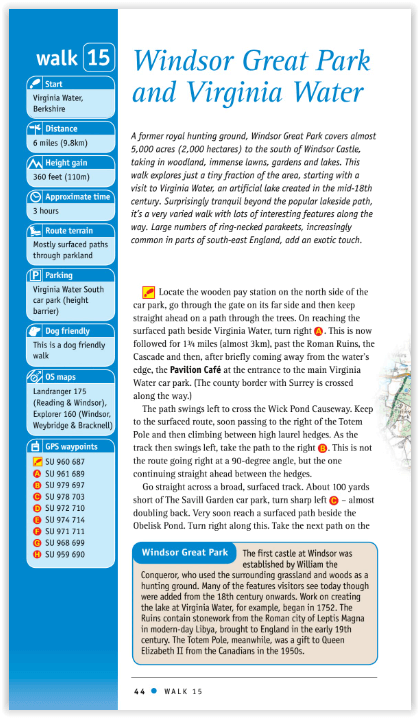
Productomschrijving: This all-new Pathfinder® Guide covering the ceremonial counties of Berkshire, Buckinghamshire and Oxfordshire features 28 outstanding circular walks across all three counties, offering more wonderful Pathfinder® routes in the south-central Midlands between the Cotswolds (PF 6 Cotswolds) and the Chilterns (PF 25 Thames Valley and Chilterns). In this welcome addition to the Pathfinder® series, walks range from Banbury in the north to Newbury in the south and, west to east, from Milton-under-Wychwood to Virginia Water.
Follow brand-new rambles exploring the Chilterns, the Thames Valley, the North Wessex and Berkshire Downs, the Kennet valley, the Oxfordshire Cotswolds and over the Oxfordshire Plain.
Walks are set out with the shorter routes at the front of the book, generally progressing through half-day walks to the longer distance outings near the end of the guide. Walks are professionally authored and depicted with GPS waypoints, Ordnance Survey maps and beautiful photography.

Artikelen uit dezelfde regio

Mountainbikegids South Downs - 26 off road routes - Cicerone • 9781852846459
Mountainbikegids South Downs - 26 off road routes - Cicerone Productomschrijving: Een gids voor berg (MTB) fietsroutes op de South Downs van Hampshire en Sussex, tussen Winchester, Brighton en Eastbourne. De 26 routes beschreven in dit boek nemen deel aan achtbanen, toegewijde bos singletrack en grote afdalingen. Ritten worden gequoteerd voor alle vaardigheden met informatie over plaatseli…

Wandelkaart South Downs Way - Vertebrate Publ. • 9781839810305
Wandelkaart South Downs Way - Vertebrate Productomschrijving: Easy-to-use folding map and essential information, with custom itinerary planning for walkers, trekkers, fastpackers and trail runners The South Downs Way Guidemap from Vertebrate Publishing is a lightweight, waterproof, durable and easy-to-use folding map with 1:40,000-scale mapping for the linear SDW route. Includes an elevati…

Wandelgids - Cotswold Classic Walks - Goldeneye • 9781859652916
Cotswold Classic Walks - Goldeneye Productomschrijving: Met 25 rondwandelingen helpt dit boek u een uitvalsbasis te vinden om de auto te ontvluchten en te genieten van een weekend vol frisse lucht en beweging.... Sommige wandelingen bieden verschillende routemogelijkheden en links naar andere wandelingen. Hoe beslist u welke wandeling u gaat doen? - Waar zijn de mooiste uitzichten? - W…

Wandelkaart 191 Banbury Bicester & Chipping Norton- OSI • 9780319470633
Wandelkaart Banbury- Bicester & Chipping Norton England Omvat ook: Brackley. Productbeschrijving: Kaart nummer 191 in de OS Explorer kaarten reeks heeft betrekking op een gedeelte van de Cotswolds en de Macmillan Way en Wychwood way recreatieve paden. Hoogtepunten van het gebied zijn de steden van Banbury, Chipping Norton, Brackley en Bicester, en de Oxford Canal Walk. De OS Explorer k…

Wandelkaart 170 Abingdon- Wantage & Vale - OSI • 9780319470428
Wandelkaart Abingdon- Wantage & Vale - Oxfordshire England Omvat ook: Wallingford & Faringdon. Productbeschrijving: Kaart nummer 170 in de OS Explorer kaarten reeks heeft betrekking op The Vale of the White Horse, en het paard zelf in Uffington, North Wessex Downs AONB, een verzameling van grote Westenlijke bossen en een klein deel van de Chiltern Hills AONB. Ook zijn de nederzettingen…