

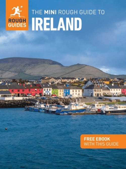
Reisgids Ireland Ierland - Mini Rough Guides
The Rock of Cashel- The Dingle Peninsula and The Giant's Causeway

Korte omschrijving
Reisgidsen Ierland van Rough Guides. Ideaal voor tochten in Ierland.
Reisgids Ireland - Mini Rough Guides Productopschrijving: Compact, concise and packed full of essential information about where to go and what to do, this is an ideal on-the-move guide for e...

Specificaties
- Uitgever: Rough Guides
- ISBN-13: 9781835291658
- HOOFDCATEGORIEËN: Reisgids
- Activiteiten: Toerisme
- Regio: Ierland
- Land: Ierland
- Editie: 2
- Taal: Engels
- Reeks/Serie: Mini Rough Guide, Pocket gidsen, Rough Guides Mini
Volledige omschrijving
Reisgids Ireland - Mini Rough Guides
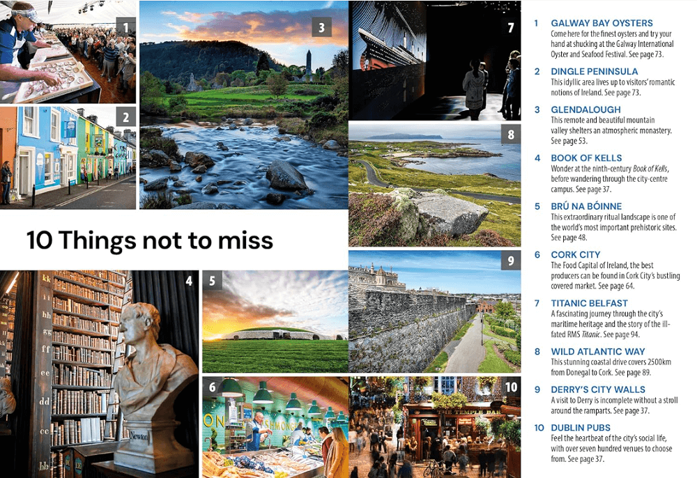
Productopschrijving: Compact, concise and packed full of essential information about where to go and what to do, this is an ideal on-the-move guide for exploring Ireland. From top tourist attractions like The Rock of Cashel, The Dingle Peninsula and The Giant's Causeway to cultural gems, including The Book of Kells, Newgrange and Temple Bar, including a once in a lifetime trip along the Wild Atlantic Way and exploring the delights of The Cliffs of Moher and surfing Atlantic breakers in Lahinch, plan your perfect trip with this practical, all-in-one mini travel guide.
Features of this travel guide to Ireland:
- Inspirational itineraries: discover the best destinations, sights and excursions, highlighted with stunning photography
- Historical and cultural insights: delve into the country's rich history and culture, and learn all about its people, art and traditions
- Things not to miss: the most essential sights and experiences at a glance
- Practical full-colour map: with every major sight and listing highlighted, the full-colour maps make on-the-ground navigation easy
- Key tips and essential information: from transport to tipping, dining out to where to stay, we've got you covered.
Artikelen uit dezelfde regio
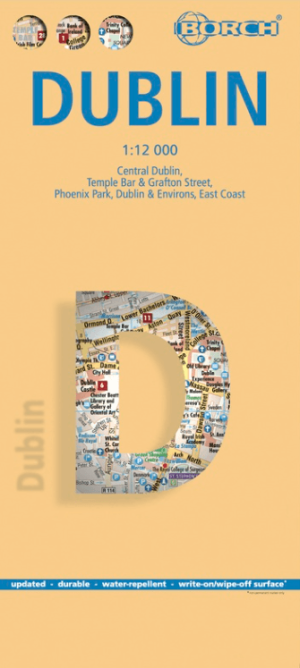
Stadskaart plattegrond Dublin Ierland - Borch • 9783866091344
Wandelkaart Dublin Ierland - Borch Productomschrijving: Our soft-laminated folded map of Dublin in the 9th edition shows: Central Dublin 1:12 000, Phoenix Park 1:25 000, Temple Bar & Grafton Street 1:10 000, Dublin & Environs 1:125 000, East Coast 1:700 000, Public Transport Dublin, Ireland administrative & time zones, Top 30 Sights. Borch Maps are easy to fold, durable and water-repellent…
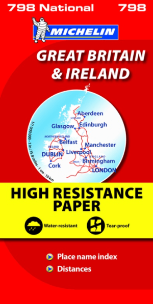
Landkaart Wegenkaart 798 Groot-Brittannië & Ierland - Michelin • 9782067137998
Wegenkaart Groot-Brittannië & Ierland - Michelin Productomschrijving: Deze Nationale kaart van Groot-Brittannië & Ierland, biedt een gedetailleerd overzicht van alle plaatsen. het wegennet wordt verfijnd aangeduid met allerhande symbolen, en voorziet in alle behoeftes, of u op zoek bent naar specifieke wegen, of zich snel uit de voeten wil maken, de plaatsnamenindex, en toeristische inform…

Fietsgids Great British Bike Rides - Vertebrate Publ. • 9781906148553
Great British Bike Rides - Vertebrate Productomschrijving: 40 classic routes for road cyclists Great British Bike Rides by Dave Barter brings together 40 of the best road rides in England, Scotland and Wales, searching out the country's most celebrated routes, toughest climbs and scenic roads. Features detailed route information, bespoke mapping and a statistical breakdown of every det…
Reisgids Ireland/Ierland - Rough Guides • 9781835290484
The Rough Guide to Ireland Productomschrijving: Discover this evergreen destination with the most incisive and entertaining guidebook on the market. Whether you plan to ride the length of the wonderful Wild Atlantic Way, take a foodie tour of the southwest or discover a city reborn in Belfast, The Rough Guide to Ireland will show you the ideal places to sleep, eat, drink, shop and visit a…

Guide VOIR Irlande - Hachette • 9782017197546
Reisgids Irlande - Hachette Productomschrijving: Découvrez Dublin, Kilkenny, les lacs du Connemara et de Killarney, Cork, Rock of Cashel, Galway, Belfast, la chaussée des Géants... - Une présentation complète de l'histoire et des sites de l'Irlande avec plus de 900 photos ! - Des dessins en 3D des plus célèbres monuments et une vue aérienne des plus belles villes. - Des balades à p…