
Plano Wandkaart Ierland 76 x 91 cm - Nat Geo
Geplastificeerd


Korte omschrijving
Wandkaart Ierland 76 x 91 cm - Nat Geo Productomschrijving: The Classic style Ireland map is one of the most authoritative maps yet published of the Emerald Isle. Of the nearly 1,000 place-n...

Specificaties
- Uitgever: National Geographic
- ISBN-13: 9781597752565
- HOOFDCATEGORIEËN: Wandkaarten Planokaart/opgerold
- Activiteiten: Wandkaarten
- Regio: Ierland
- Land: Ierland
- Waterafstotende kaart: National Geographic, Geplastificeerd
- Schaal: 1:550000
- Taal: Engels
- Reeks/Serie: Planokaart/opgerold
- Wandkaarten & Planokaarten: Wandkaarten & Planokaarten
Volledige omschrijving
Wandkaart Ierland 76 x 91 cm - Nat Geo
Productomschrijving: The Classic style Ireland map is one of the most authoritative maps yet published of the Emerald Isle. Of the nearly 1,000 place-names shown on this map, all within the Republic of Ireland adhere to that nation's constitution—that the Irish and English language share official status. Thus, Gaelic (Irish) place-names, along with their English variants in parentheses, are shown within Irish-speaking regions while English place-names, along with their Gaelic variants, are shown outside these areas.
The Ireland map is ideal for those researching their Irish ancestry, a perfect tool for business reference, and the clean Classic style makes beautiful addition to any decor. It's one of the largest and most detailed maps specifically for Ireland available today. It includes over 1,000 named places including primary and secondary towns, counties, political boundaries, infrastructure, and selected historical sites for both Ireland and Northern Ireland. Per the Republic of Ireland's constitution, the Irish and English languages share official status. In the GaeltachtI, or predominantly Irish-speaking regions, only Irish place-names have official status and are used on signposts.
These districts are found within the counties of Cork, Donegal, Galway, Kerry, Mayo, Meath, and Waterford.
Afmeting: 76 x 91 cm
Artikelen uit dezelfde regio
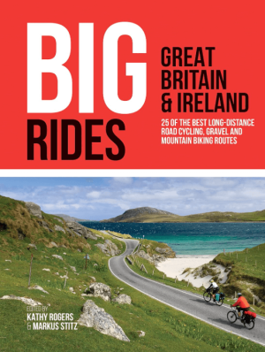
Fietsgids Big Rides- Great Britain & Ireland - Vertebrate Publ. • 9781839810725
Big Rides- Great Britain & Ireland - Vertebrate Productomschrijving: 25 of the best long-distance road cycling, gravel and mountain biking routes Big Rides: Great Britain & Ireland features twenty-five long-distance cycling trails in England, Scotland, Wales, Northern Ireland and Ireland, and includes a general overview of the trails, specific technical information, overview mapping, …

Landkaart Wegenkaart Ierland - Freytag & Berndt • 9783707925081
Wegenkaart Ierland - Freytag & Berndt Productomschrijving: Freytag & Berndt Ierland is een praktische wegenkaart voor reizigers die Ierland met auto, motor, camper of huurwagen willen verkennen. De kaart biedt een duidelijk overzicht van het volledige eiland en is geschikt voor routeplanning tussen steden, kustgebieden, nationale parken en landelijke regio’s. Met schaal 1:350.000 toon…

Stadsplattegrond Discovery Series Limerick city Ireland - OSI • 9781908852823
Stadskaart Limerick city Ireland - OSI Productomschrijving: Limerick Street Map at a scale of 1:13,000 Large Fold Out Street map including street names and index.
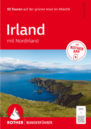
Wandelgids Irland mit Nordirland - Rother Bergverlag • 9783763314904
Wandelgids Irland mit Nordirland - Rother Productomschrijving: 65 Touren auf der grünen Insel im Atlantik. Irland – die perfekte Insel zum Wandern. - 65 sorgfältig ausgewählte Wanderungen in Irland und Nordirland – von Küstenpfaden bis zu Bergtouren - Detaillierte Wegbeschreibungen, Wanderkärtchen und Höhenprofile für jede Tour - Inklusive GPS-Tracks und Rother App für komfortable …
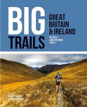
Wandelgids Big Trails DEEL 1 Great Britain & Ireland - Vertebrate • 9781839810008
Big Trails, Great Britain & Ireland - Vertebrate Productomschrijving: The best long-distance trails Big Trails: Great Britain & Ireland features 25 long-distance trails in England, Scotland, Wales, Northern Ireland and Ireland, and includes a general overview of the trails, specific technical information, overview mapping, key information and stunning photography. Big Trails: Great…