

Landkaart Wegenkaart H2 Ierland West - OSI
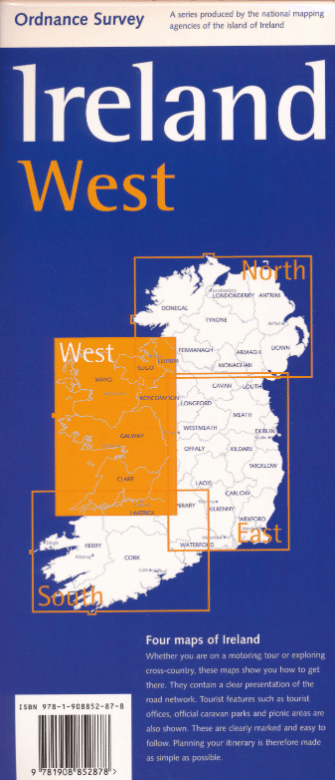
Ireland West Road map
Korte omschrijving
Wegenkaart West Ierland - OSI Productomschrijving: Wegenkaart West Ierland - OSI - Ordnance Survey Ireland West Road map at 1:250,000 approx 4 miles to the Inch. This map shows deta...

Specificaties
- Uitgever: Ordnance Survey Ireland
- ISBN-13: 9781908852878
- HOOFDCATEGORIEËN: Wegenkaart - Landkaart
- Activiteiten: Street/Road maps & city plans
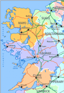
- Regio: Ierland, West Ierland
- Land: Ierland
- Schaal: 1:250000
- Taal: Engels
- Reeks/Serie: Discovery Series, OSI
Volledige omschrijving
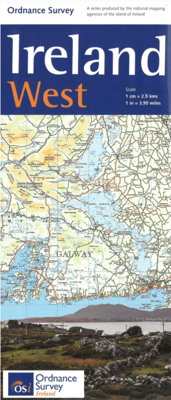
Wegenkaart West Ierland - OSI
Productomschrijving: Wegenkaart West Ierland - OSI
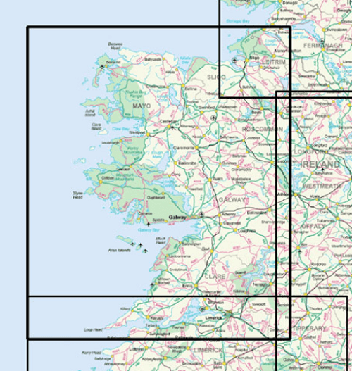
- Ordnance Survey Ireland West Road map at 1:250,000 approx 4 miles to the Inch.
This map shows detailed road classification, altitude colouring and tourist information, published by OSI, the Ordnance Survey of Ireland.
Topography of the island is shown by altitude colouring, with additional spot heights and names of mountain or hill ranges and other geographical features. Additional graphics show different types of woodlands etc. Road network shows six grades of roads; Railway lines are shown with stations.
A range of symbols highlights camping and caravan sites, nature reserves, National Trust and An Taisce properties or land, golf courses (indicating the number of holes), historical sites, etc.
Artikelen uit dezelfde regio

Guide Routard Irlande 2026-27 - Le Routard • 9782017338079
Reisgids Irlande - Le Routard Productomschrijving: Le Routard, le meilleur compagnon de voyage depuis 45 ans. Dans cette nouvelle édition du Routard Irlande vous trouverez une première partie en couleurs avec des cartes et des photos, pour découvrir plus facilement le pays et repérer nos coups de cœur ; des suggestions d’itinéraires et des informations pratiques pour organiser votre sé…
Wandelgids Wild Atlantic Way Ierland - Edicola • 9789493300019
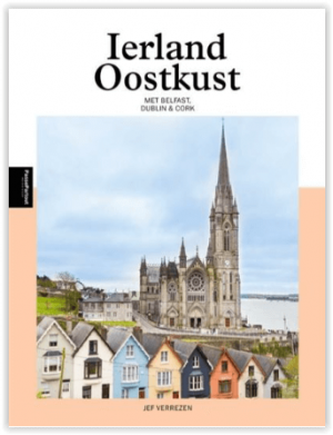
The Wild Atlantic Way Ierland - 2500 km Productomschrijving: Dit boek neemt je mee langs de Oostkust van Ierland. Waar de twee hoofdsteden Belfast en Dublin de vertegenwoordigers zijn van een opgedeeld Ierland: Noord-Ierland met zijn zes counties dat werd ingelijfd bij het Verenigd Koninkrijk en Dublin dat, na een lange strijd, de Republiek Ierland mocht aansturen. Naast het levendige …
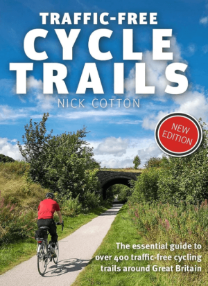
Traffic-Free Cycle Trails around Great Britain - Vertebrate Publ. • 9781912560769
Traffic-Free Cycle Trails around Great Britain - Vertebrate Productomschrijving: The essential guide to over 400 traffic-free cycling trails around Great Britain Traffic-Free Cycle Trails by Nick Cotton contains over 400 cycle routes in Great Britain. This book includes a great variety of routes on former railway paths, canal towpaths and forest trails in England, Scotland and Wales, w…
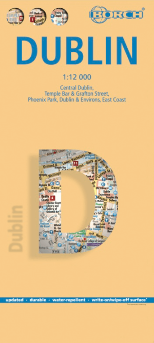
Stadskaart plattegrond Dublin Ierland - Borch • 9783866091344
Wandelkaart Dublin Ierland - Borch Productomschrijving: Our soft-laminated folded map of Dublin in the 9th edition shows: Central Dublin 1:12 000, Phoenix Park 1:25 000, Temple Bar & Grafton Street 1:10 000, Dublin & Environs 1:125 000, East Coast 1:700 000, Public Transport Dublin, Ireland administrative & time zones, Top 30 Sights. Borch Maps are easy to fold, durable and water-repellent…

Plano Wandkaart Ierland 76 x 91 cm - Nat Geo • 9781597752565
Wandkaart Ierland 76 x 91 cm - Nat Geo Productomschrijving: The Classic style Ireland map is one of the most authoritative maps yet published of the Emerald Isle. Of the nearly 1,000 place-names shown on this map, all within the Republic of Ireland adhere to that nation's constitution—that the Irish and English language share official status. Thus, Gaelic (Irish) place-names, along with th…