

Landkaart Wegenkaart Colorado State guide map - Nat Geo
Denver- Colorado Springs- Pueblo- Fort Collins- Mesa Verde....


Korte omschrijving
Wegenkaart Colorado State guide map - Nat Geo Productomschrijving: National Geographic's Colorado Guide Map is designed to meet the needs of travelers with detailed and accurate cartography ...

Specificaties
- Uitgever: National Geographic
- ISBN-13: 9781566957779
- HOOFDCATEGORIEËN: Wegenkaart - Landkaart
- Activiteiten: Street/Road maps & city plans
- Auteur: National Geographic
- Regio: Colorado, USA
- Land: Verenigde Staten van Amerika (USA)
- TOPO's & Stafkaarten: Topografisch wandelen
- Schaal: 1:1584000
- Taal: Engels
- Reeks/Serie: Nat Geo, State Guide Maps
Volledige omschrijving
Wegenkaart Colorado State guide map - Nat Geo
Productomschrijving: National Geographic's Colorado Guide Map is designed to meet the needs of travelers with detailed and accurate cartography and loads of helpful information about the state's many attractions. Cities and towns are easy to find with the map's helpful index. Highways, roadways, toll roads, scenic routes, and other roads are clearly designated. Distances in miles are noted on major highways so travelers can easily plan their best route. Hundreds of points of interest are shown, along with national and state parks, public campsites, visitor information centers, airports, ski areas, hospitals, and more.
Inset maps of Denver, Colorado Springs, Pueblo, Fort Collins, Mesa Verde National Park, and Rocky Mountain National Park provide greater detail of key areas of the state. A map of the San Juan Skyway highlights one of Colorado's many scenic drives. The information provided about points of interest, Denver, and Rocky Mountain and Mesa Verde national parks will help you take advantage of many sites and recreation activities the state has to offer. A handy chart of park service sites and climate information are also included.
Every State Guide Map is printed on durable synthetic paper, making them waterproof, tear-resistant and tough — capable of withstanding the rigors of any kind of travel.
Locatie op kaart
Artikelen uit dezelfde regio

Wandelkaart 1302 Colorado 14'ers- Noord - Nat geo • 9781566956994
TOPO Wandelkaart 1302 - Colorado 14'ers- Noord - Natgeo Productomschrijving: De Colorado 14'ers bestaat uit 14 van de meest indrukwekkende bergmassieven in Colorado, verdeeld over drie verschillende regio's als Front Range, Momsquito Tenmile Ranges en de Sawatch Range. een indrukwekkende locatie om te gaan trekken uiteraard. Front Range: Mount Bierstadt, Mount Evans, Grays Peak, Longs …

Wandelkaart 110 Leadville & Fairplay - Colorado - Nat Geo • 9781566953641
TOPO Wandelkaart 110 - Leadville & Fairplay - Colorado - National Geographic Productomschrijving: Leadville & Fairplay zijn locaties in de Amerikaanse staat Colorado. De dorpen liggen op een hoogte van 3000 meter, en zijn daarmee een van de hoogstgelegen steden van Colorado. In het begin van de tijd van de goudkoorts ontstond de nederzetting, in het jaar 1859. Het is een meestal rustige st…

Reisgids Colorado USA - Insight Guides (ENG) • 9781839053795
Reisgids Colorado - Insight Guides (ENG) Productomschrijving: From deciding when to go, to choosing what to see when you arrive, this guide to Colorado is all you need to plan your perfect trip, with insider information on must-see, top attractions like Denver Art Museum, Pikes Peak and the Old Fort National Historic Site, and cultural gems like the serrated alpine peaks of the Rocky Mount…
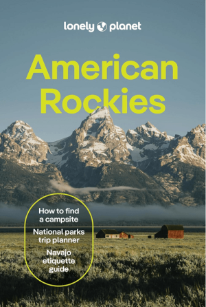
Reisgids American Rockies - Lonely Planet • 9781837588169
The American Rockies - Lonely Planet Productomschrijving: Lonely Planet's local travel experts reveal all you need to know to plan the trip of a lifetime in this latest edition of our guide to the American Rockies. Discover the American Rockies' most popular experiences and best kept secrets from scrambling up to the saddle of Cathedral Rock to watch the sunset turn Sedona red, to getting …

Wandelkaart 208 Colorado National Monument - Natgeo • 9781566954013
TOPO Wandelkaart 208 - Colorado National Monument - Natgeo Productomschrijving: recreatie regio's doorheen Colorado's 'Grand Valley' omvatten de steden: Grand Junction, Fruita, Palisade & Loma. Dit veel gebruikte gebied is gekend onder de de mensen die in Colorado wonen. Dit gebied is nationaal bekend voor zijn speciale mountainbiketrails en evengoed gekend voor de start van het Kokepelli …