

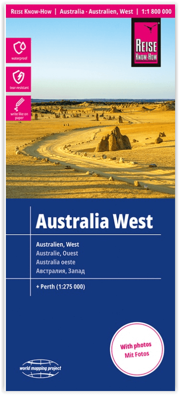
Landkaart Wegenkaart Australië West - Reise Know How
The Northern Territories, Western Australia & Southern Australia.
Korte omschrijving
Wegenkaart West Australië - Reise Know How Productomschrijving: Reis Know-How-kaarten (wereldkaart-projectreeks) zijn gemakkelijk te lezen, waterdichte en zeer duurzame reiskaarten die spec...

Specificaties
- Uitgever: Reise Know-How Verlag
- ISBN-13: 9783831774739
- HOOFDCATEGORIEËN: Wegenkaart - Landkaart
- Activiteiten: Street/Road maps & city plans
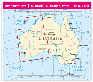
- Regio: West Australië, Western Australia
- Land: Australië
- Schaal: 1:1800000
- Editie: 4
- Taal: Duits, Engels
- Reeks/Serie: World Mapping Project, Reise know how
- De Australische Regio's: Northern Territories, Southern Australia, Western Australia
Volledige omschrijving
Wegenkaart West Australië - Reise Know How
Productomschrijving: Reis Know-How-kaarten (wereldkaart-projectreeks) zijn gemakkelijk te lezen, waterdichte en zeer duurzame reiskaarten die speciaal zijn ontworpen voor dagelijks gebruik op de weg.
Omvat: The Northern Territories, Western Australia & Southern Australia.
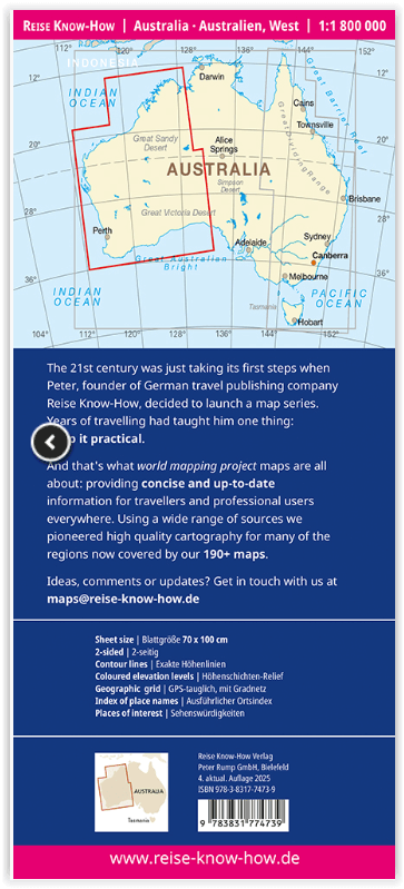
Onze kaarten combineren state-of-the-art, GPS-compatibele cartografie (inclusief hypsometrische tinten en contourlijnen) met een gedetailleerde weergave van wegennetwerken en toeristische informatie. Ze bieden de best mogelijke schaal, detailniveau en leesbaarheid, of het nu een kaartje is van een klein eiland of een half continent. De kaarten zijn voorzien van een verwijderbare omslag, zodat de kaarten gemakkelijk kunnen worden gevouwen en in elke zak passen. Hoewel op plastic wordt gedrukt, zorgt een speciale coating ervoor dat de kaarten een papierachtig gevoel behouden en zelfs met potlood kunnen worden beschreven.
Artikelen uit dezelfde regio
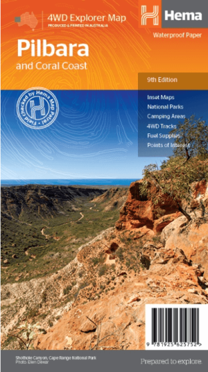
Landkaart Wegenkaart Pilbara & Coral Coast - Hema Maps • 9781925625752
Wegenkaart Pilbara & Coral Coast - Hema Productomschrijving: This regional waterproof map of the Pilbara and Coral Coast is ideal for discovering the northern reaches of Western Australia. The main map covers the diverse marine attractions around Shark Bay, François Peron National Park and the Ningaloo Reef. It also stretches to the gorges of Karijini, lush habitats of Millstream Chichest…
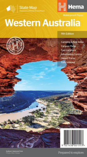
Landkaart Wegenkaart West-Australië state map - Hema Maps • 9321438001553
Wegenkaart West-Australië state map - Hema Productomschrijving: A map of Western Australia (WA) for touring throughout the state that has camping and rest areas, 24-hour fuel and points of interest marked on the mapping. On the reverse are CBD and through road maps of Perth in addition to inset maps of Leeuwin-Naturaliste National Park, Cape Range National Park, Nambung National Park, …

Landkaart Wegenkaart West & Midden-Westen Australië NP's - Hema • 9321438002109
Landkaart West & Midden-Westen Australië - Hema Produductomschrijving: A regional map of Mid West Western Australia that covers from Cape Range National Park south to Mandurah and as far as Kalgoorlie at a scale of 1:1,250,000 that has camping areas, national parks, fuel supplies and facility symbols marked on the map. On the reverse is region-specific touring information for Wildflower c…

Landkaart Wegenkaart West Australia Planning map - Lonely Planet • 9781788688994
Wegenkaart Western Australia Planning map - Lonely Planet Productomschrijving: With this easy-to-use, full-colour map in your back pocket, you can truly get to the heart of Western Australia - so begin your journey now! - Durable and waterproof - Easy-fold format and convenient size Handy slipcase - Full colour and easy to use Before-you-go info - Beautiful imagery Tailored itin…
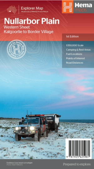
Landkaart Wegenkaart Explorer Map Nullarbor Plain - Western Map • 9781925625981
Explorer Map Nullarbor Plain Western Map - Hema Productomschrijving: This map is part of Hema's new Nullarbor Plain Map Series and covers the area from Kalgoorlie to Border Village and its surrounds. Truly one of the worlds great adventure drives, Australia's semi-arid Nullarbor Plain stretches some 1,256 kilometres (781 miles) via the Eyre Highway and links the cities of Adelaide and…