

Landkaart Wegenkaart 6 Wales & Midlands West - OSI
Wales plus the English West Midlands


Korte omschrijving
Wegenkaart Wales & Midlands West - OSI Productomschrijving: Plan your journey with this series of road maps from OS. Showing all major road, rail and ferry links as well as settlements and ...

Specificaties
- Uitgever: Ordnance Survey
- ISBN-13: 9780319263785
- HOOFDCATEGORIEËN: Wegenkaart - Landkaart
- Activiteiten: Street/Road maps & city plans
- Regio: Midlands, England, Wales
- Land: Wales
- Schaal: 1:250000
- Taal: Engels
- Reeks/Serie: OSI Regional UK Roadmaps 1:250.000
Volledige omschrijving
Wegenkaart Wales & Midlands West - OSI
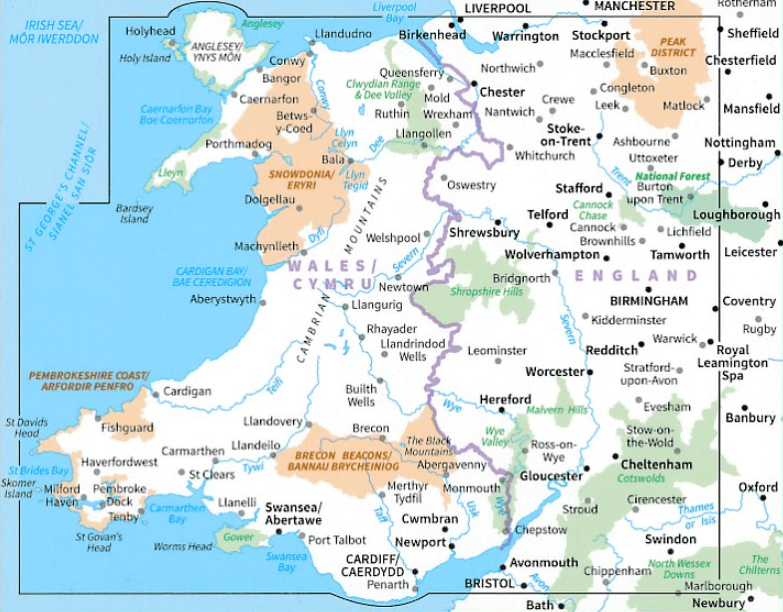
Productomschrijving: Plan your journey with this series of road maps from OS. Showing all major road, rail and ferry links as well as settlements and selected features in 1: 250 000 scale, this is the ideal map for planning trips and holidays by car or cycle.
OS Road 6 covers: the Wales plus the West Midlands.
Overzichtskaarten
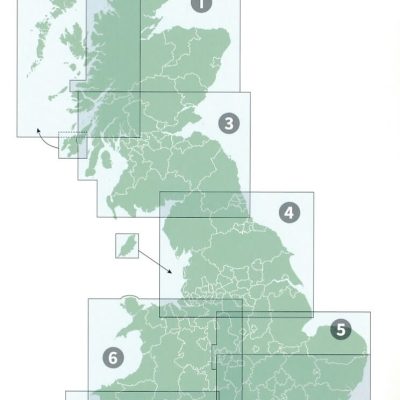
OSI Roadmaps UK 1 > 8 - 1:250.000
OSI Roadmaps UK 1 > 8 - 1:250.000

Producten op de overzichtskaart
Klik op een product om naar de detailpagina te gaan.
- Landkaart Wegenkaart 1 Schotland Noord - OSI
- Landkaart Wegenkaart 2 Schotland West & Western Isles - OSI
- Landkaart Wegenkaart 3 Schotland Zuid & Northumberland - OSI
- Landkaart Wegenkaart 4 Engeland Noord - OSI
- Landkaart Wegenkaart 5 Midlands Oost & East Anglia - OSI
- Landkaart Wegenkaart 6 Wales & Midlands West - OSI
- Landkaart Wegenkaart 7 Zuidwest Engeland & Zuid Wales - OSI
- Landkaart Wegenkaart 8 Zuidoost Engeland - OSI
Artikelen uit dezelfde regio
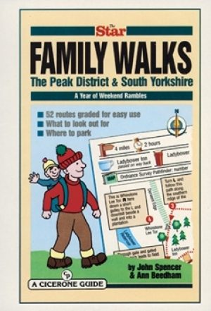
Wandelgids Peak District & South Yorkshire - Cicerone • 9781852842574
Wandelgids - Peak District & South Yorkshire - Cicerone Productomschrijving: Een gids naar 52 korte circulaire wandelingen in het Peak District en Zuid-Yorkshire, in Noord-Engeland, aangepast door plaatselijke Sheffield krant "The Star Weekend walking kolom". Routes zijn 2 tot 3 uur lang, dus ideaal voor gezinnen. Winnaar van de beste gids van COLA/OWG 1998. Allemaal binnen een uur van She…
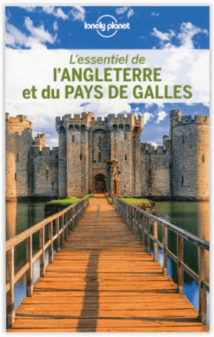
Reisgids L'essentiel de l'Angleterre et du Pays de Galle - LP • 9782816179422
L'essentiel de l'Angleterre et du Pays de Galle - LP Productomschrijving: De Lonely Planet-gids voor de basis, om het beste van Engeland en Wales te ontdekken - Een volledig opnieuw ontworpen versie, zodat je tijdens uw reis naar Engeland en Wales geen enkele must-haves hoeft te missen. Een kleurrijke gids, geïllustreerd met tientallen foto's. Onmisbare locaties (Londen, Stonehenge, Salisb…
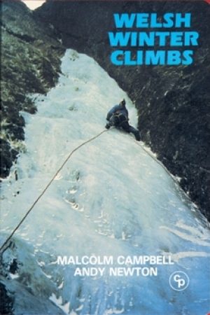
Klimgids Welsh Winter Climbs - Cicerone • 9781852840013
Klimgids - Welsh Winter Climbs - Cicerone Productomschrijving: Klimgids, winter beklimmingen in Wales. Alle klassieke winterroutes, plus vele korte rotsbeklimmingen. Bedekt Carneddau, Glyderau, Llanberis, Yr Wyddfa, Nantlle, Lleyn Schiereiland, Moelwynion, Rhinog, Cader Idris, Aran, Dyfi en Berwyn. Het biedt een volledige beschrijving, over het al dan niet beschikbaar zijn van routes, en t…

Wandelgids Glyndwr's Way walking - Cicerone • 9781786311290
Glyndwr's Way walking - Cicerone Productomschrijving: Gids over de hystorische wandelroute van de Glyndwr's Way, een langeafstandspad door midden-Wales. De 217 Km lange route van Knighton via Machynlleth naar Welshpool duurt 9 dagen om te lopen, en 2 dagen (29 mijl) om de lus langs het Offa's Dyke Path af te maken zodat er een rondwandeling ontstaat. Een prachtige route door rustige heuvel…

Wandelgids 19 routes England- Schotland & Wales - Cicerone • 9781852847883
Wandelgids - 19 routes England- Schotland & Wales - Cicerone Productomschrijving: Deze inspirerende gids kijkt naar elk van de 19 National Trails in het Verenigd Koninkrijk, met informatie die het gemakkelijk maakt om vergelijking en contrast te vinden, inspiratie bij het vinden van, en tot het nemen van een lange afstandsuitdaging. Sommige Trails zijn kort en gemakkelijk, anderen veel lan…